Trail Alerts // Hunting seasons have opened in parts of Tompkins County.
Wear blaze orange in areas where hunting is allowed. Check for the latest trail alerts before you go. See All Trail Alerts

Cayuga Lake Blueway Trail

Difficulty // Easy
Activities // Paddling
Distance // 18.2 miles
Features // Lakes visible, Bus Stop Nearby
Route Type // Loop
Estimated hiking time // 6 hrs 4 mins
Not open year-round.
Hunting not allowed.
Surface types // Water
Trail markers // None

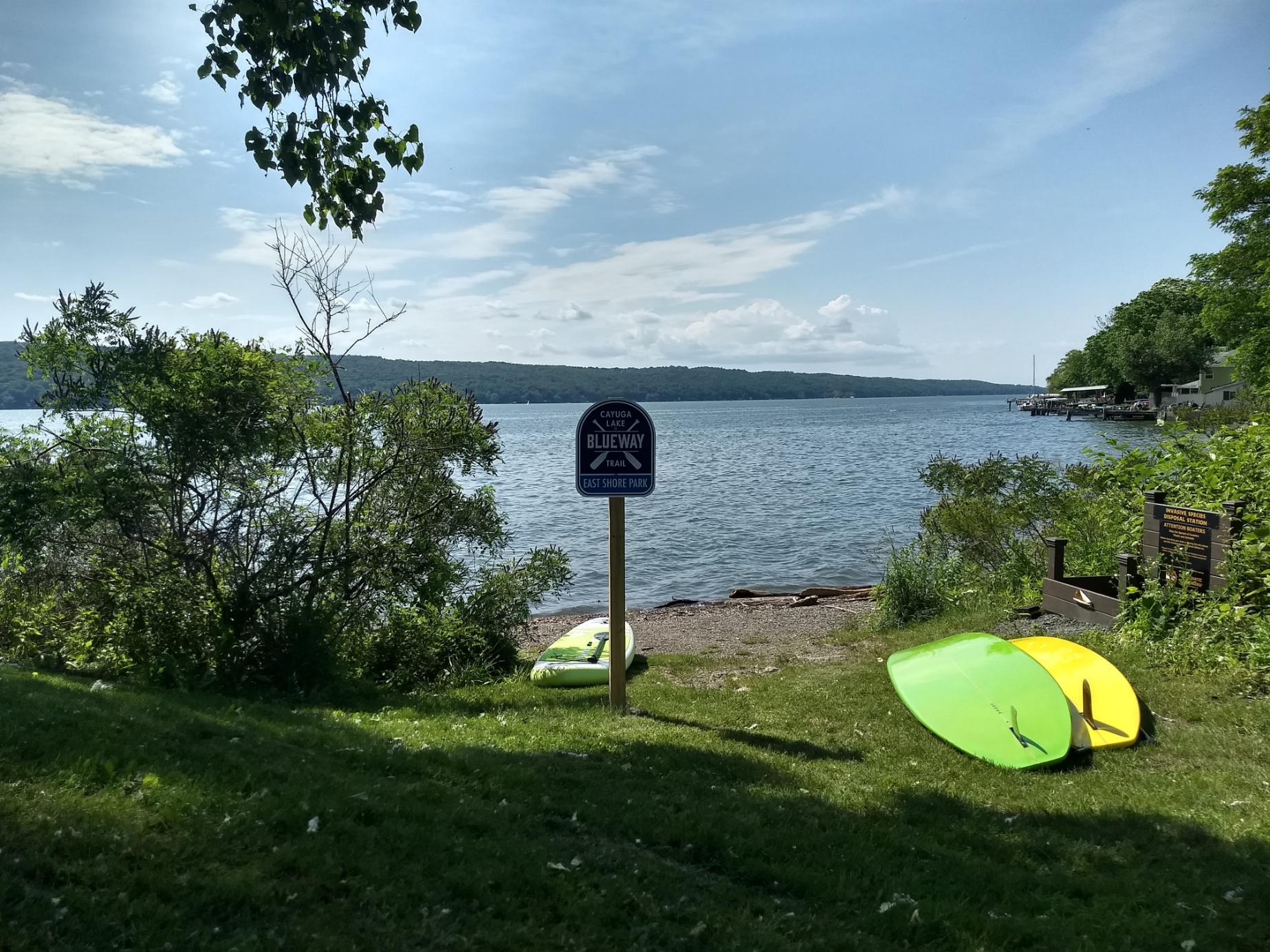
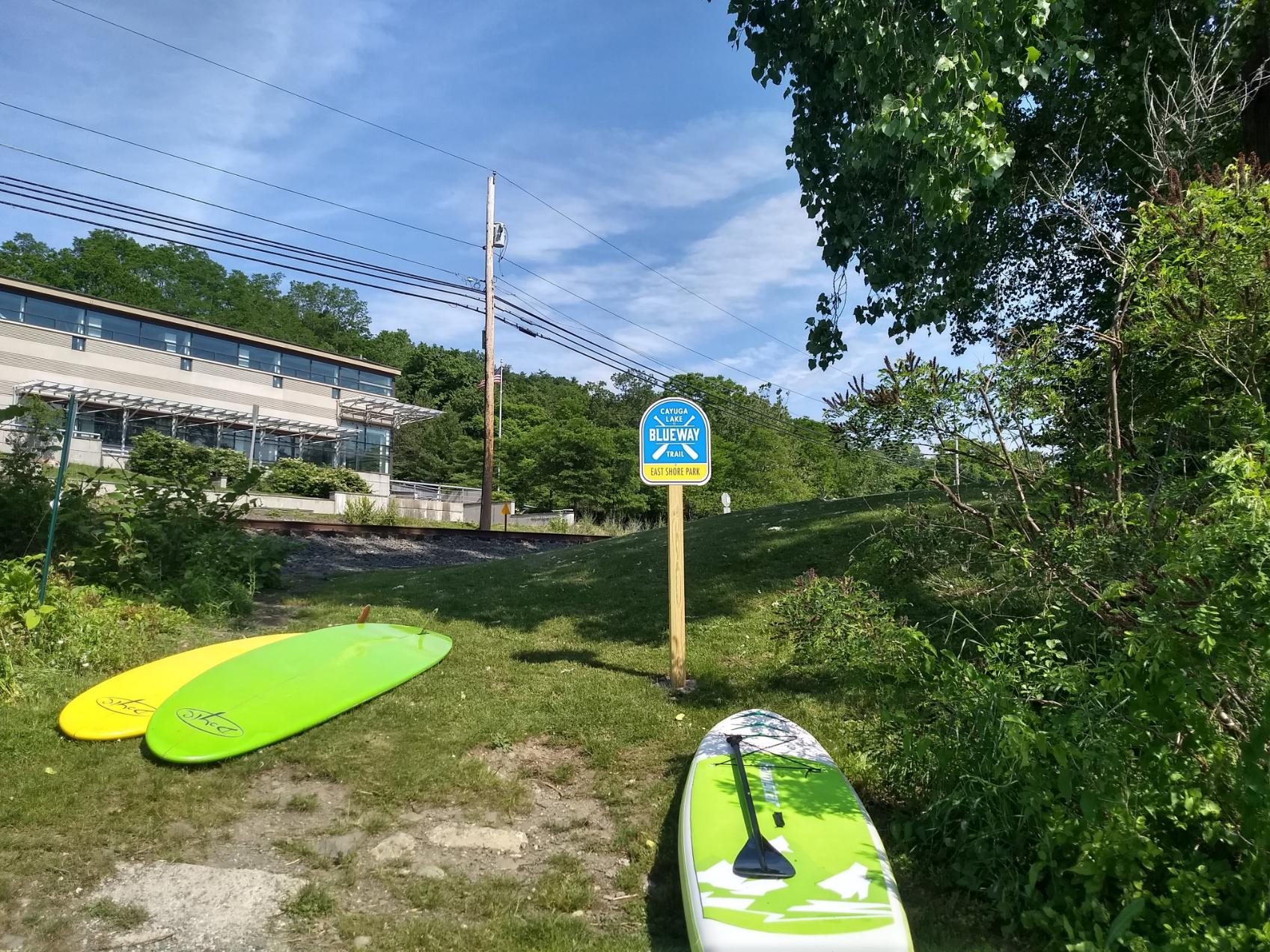
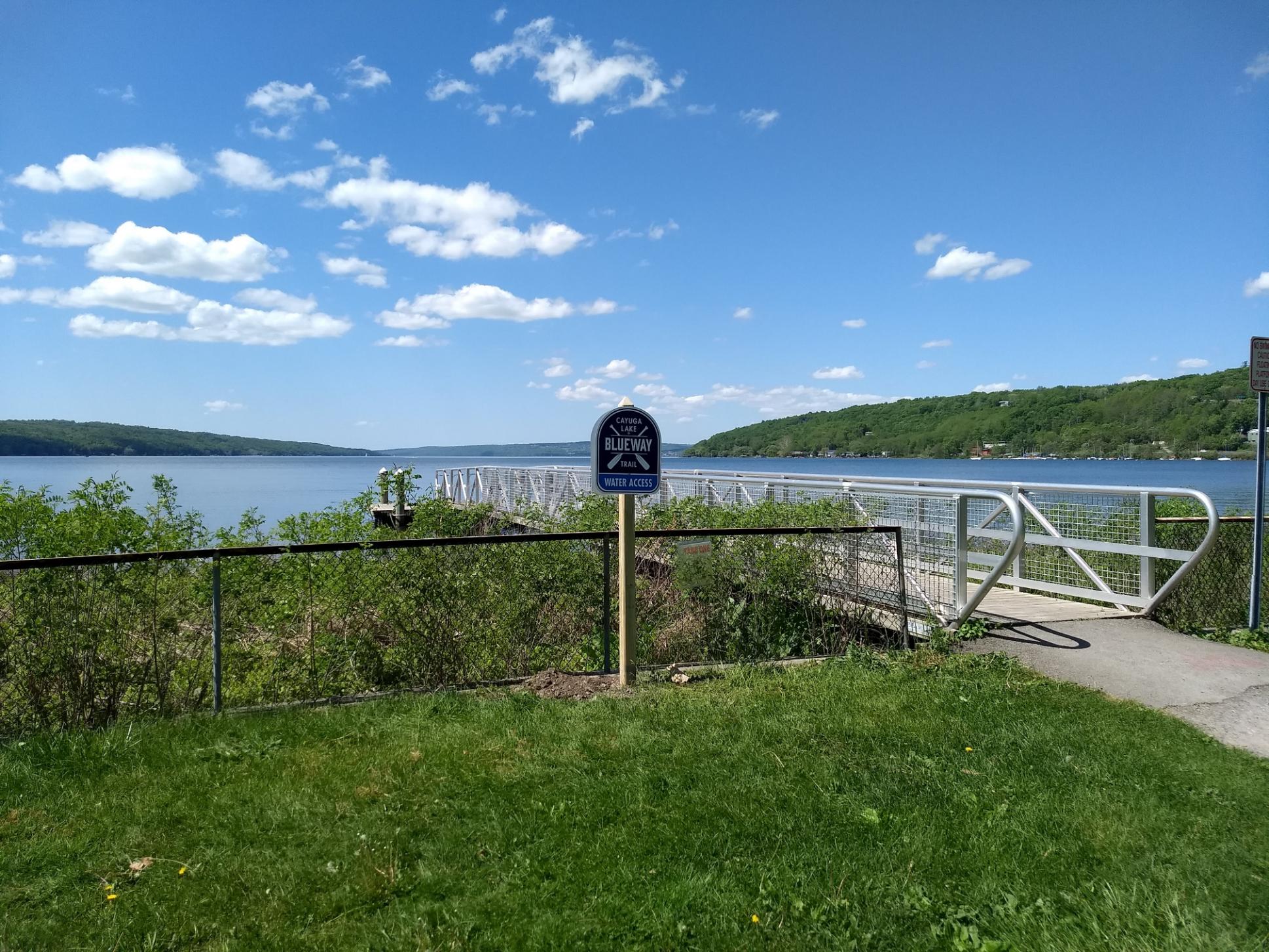
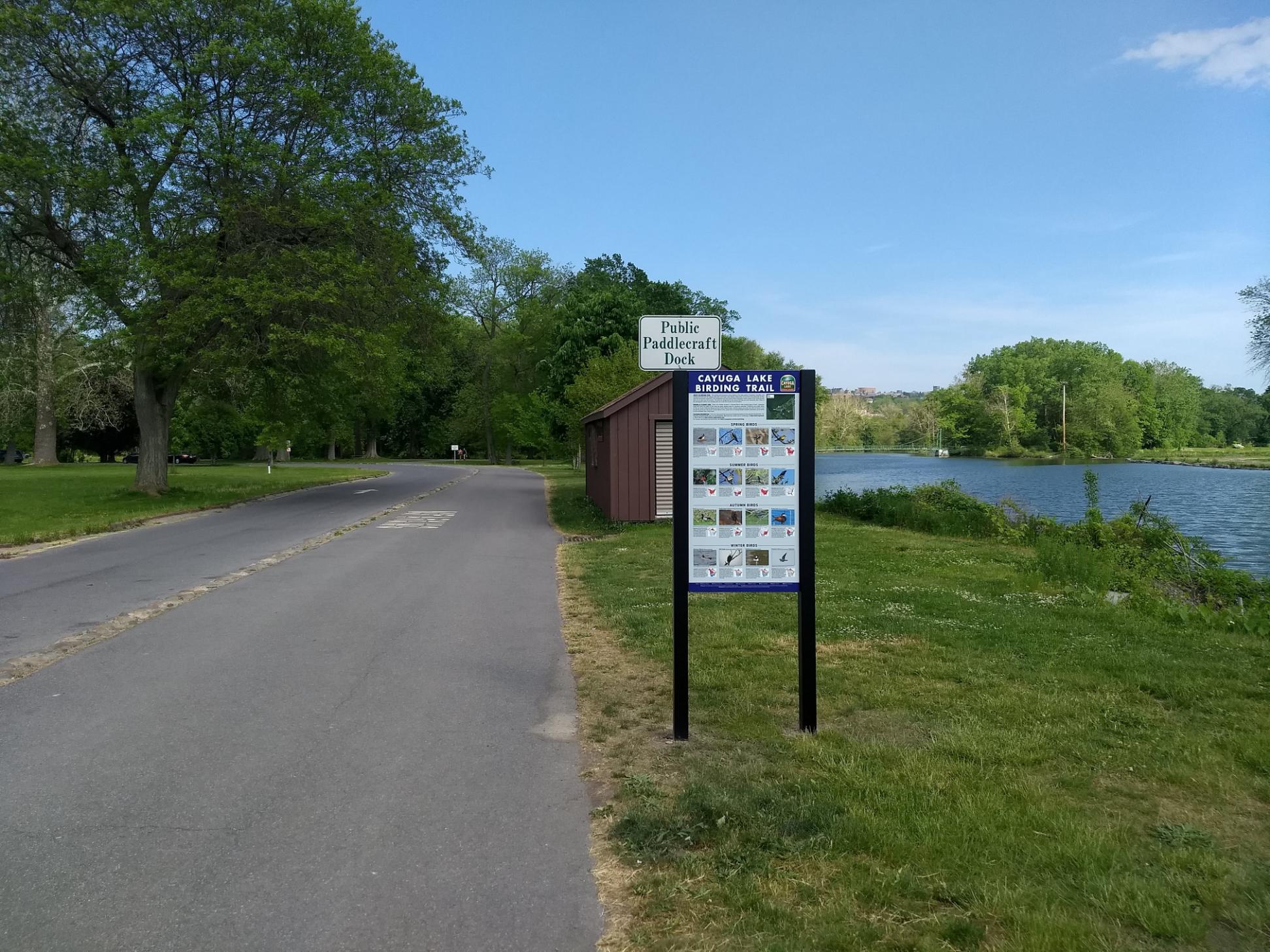
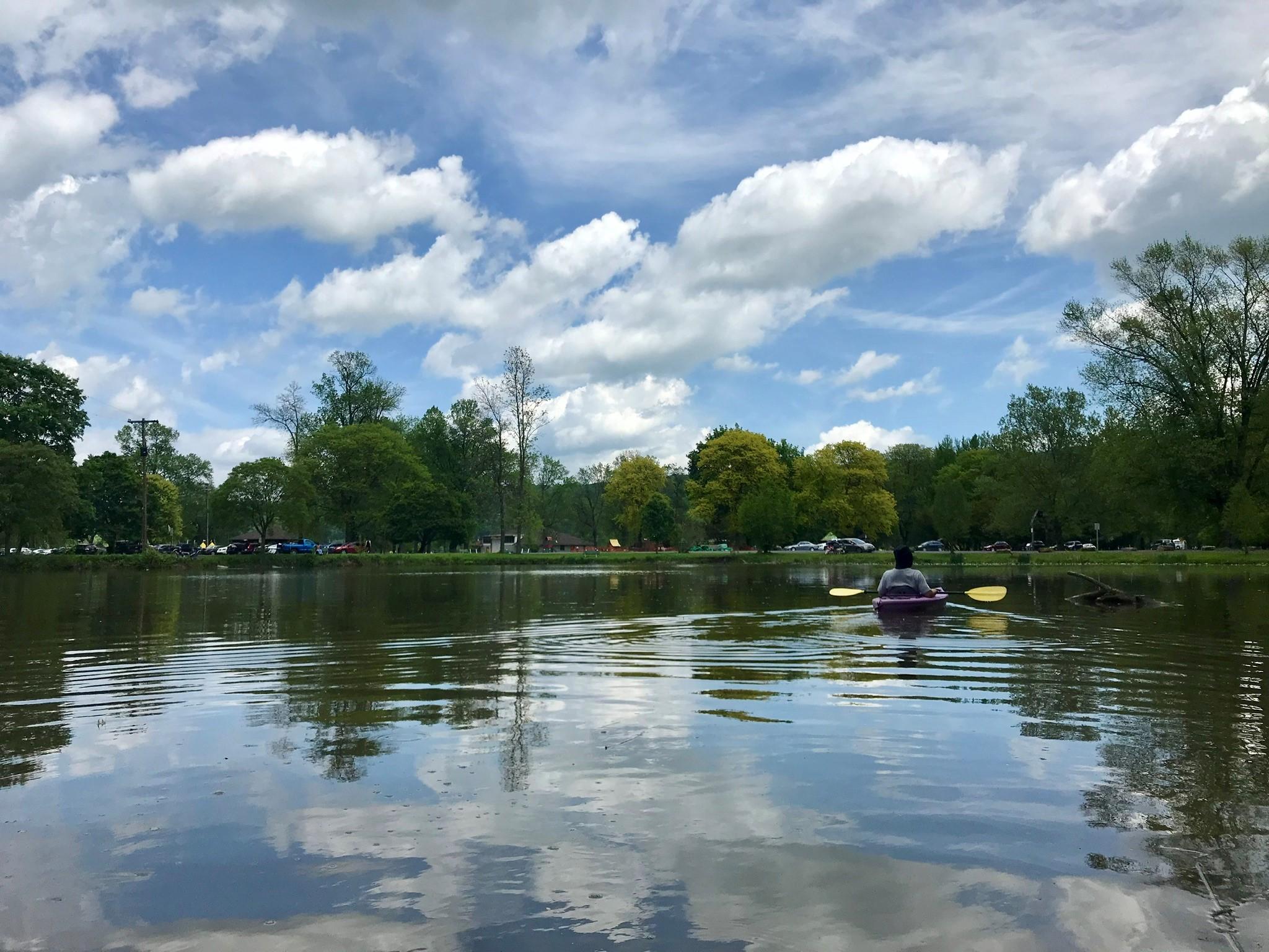
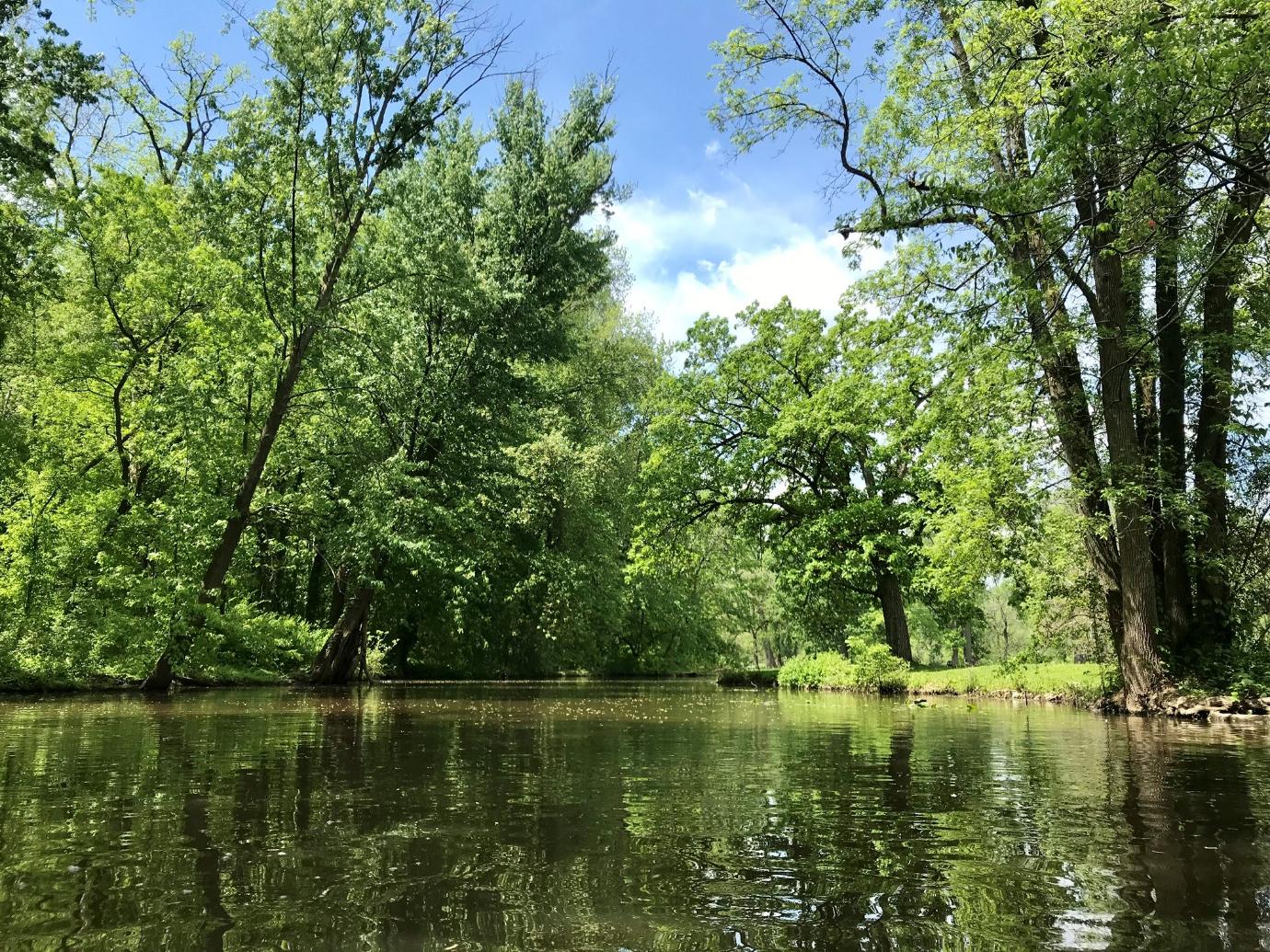
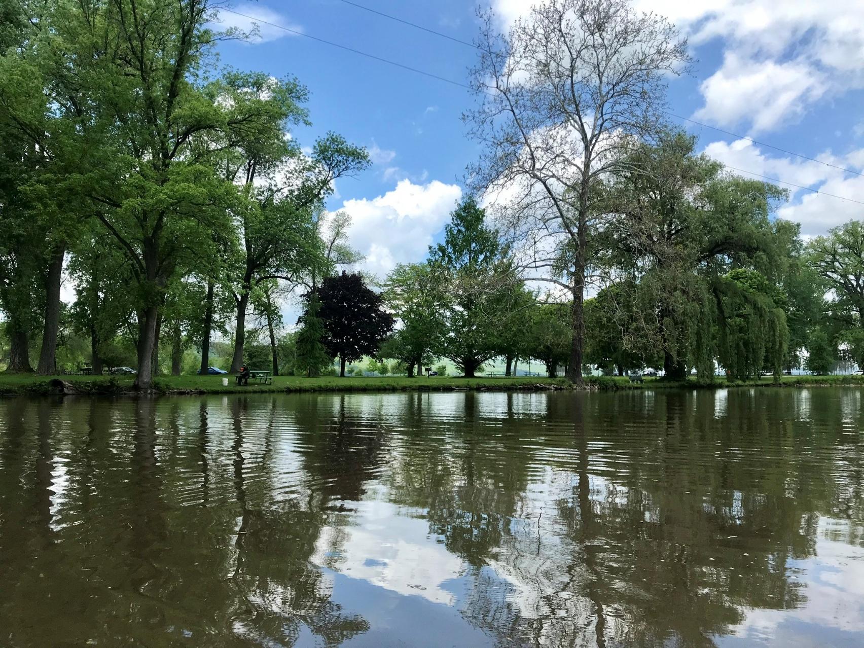
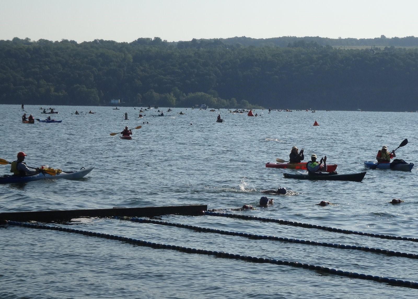
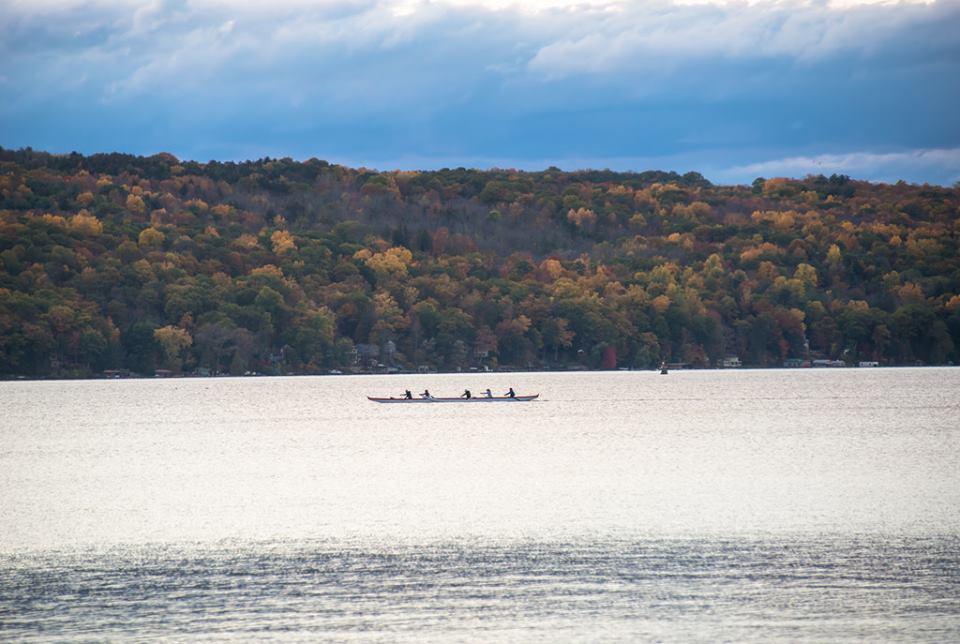
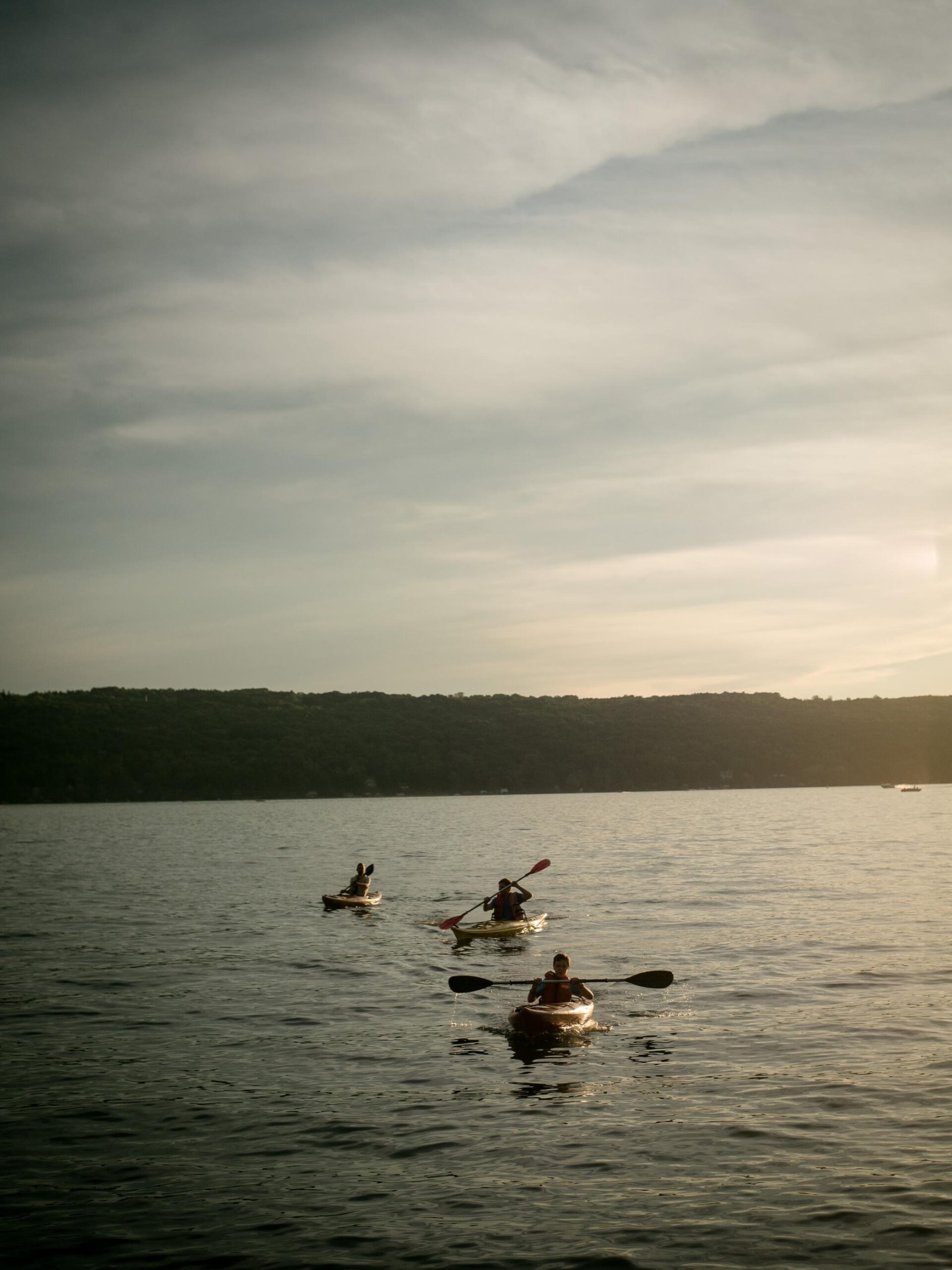
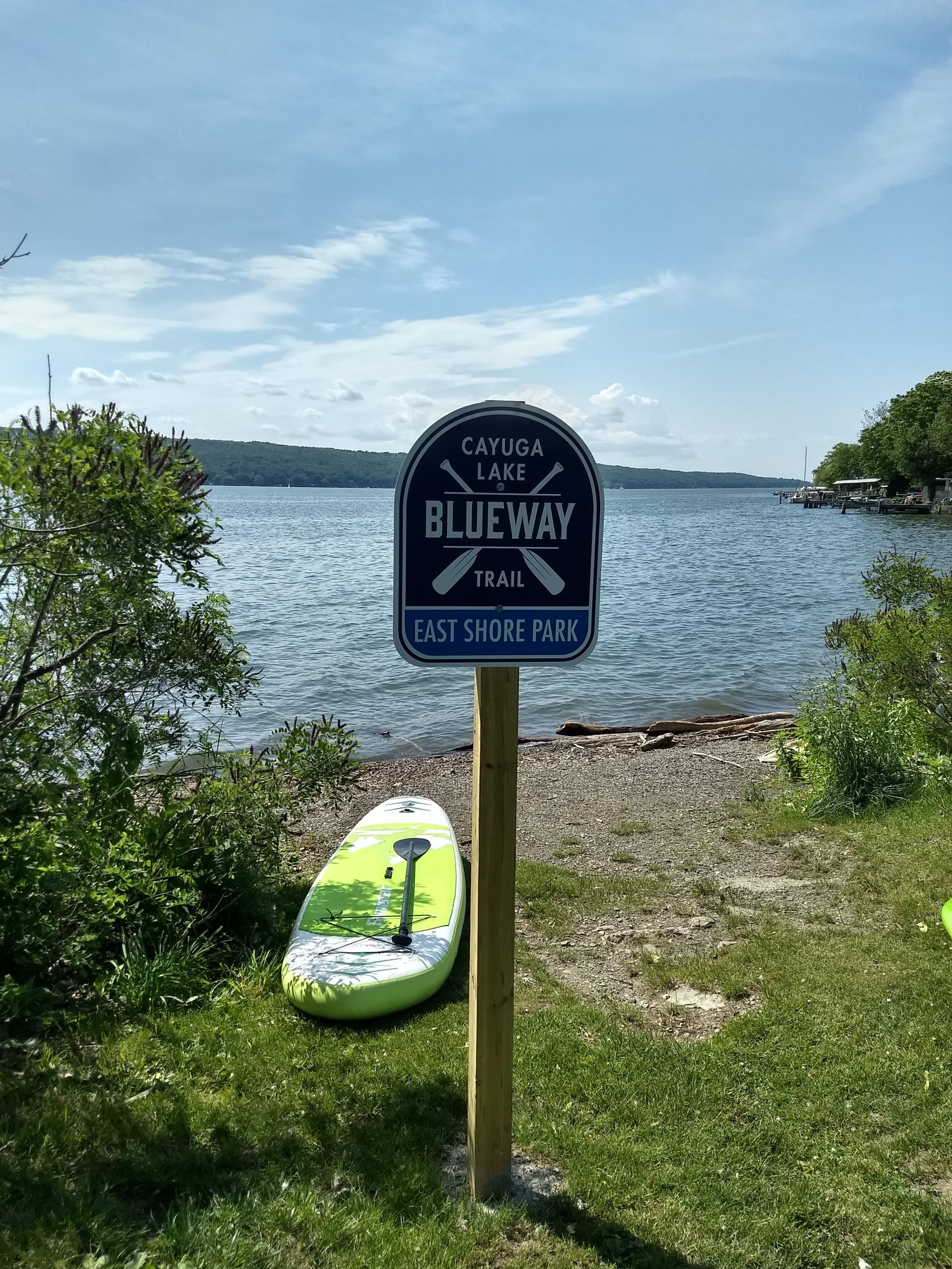
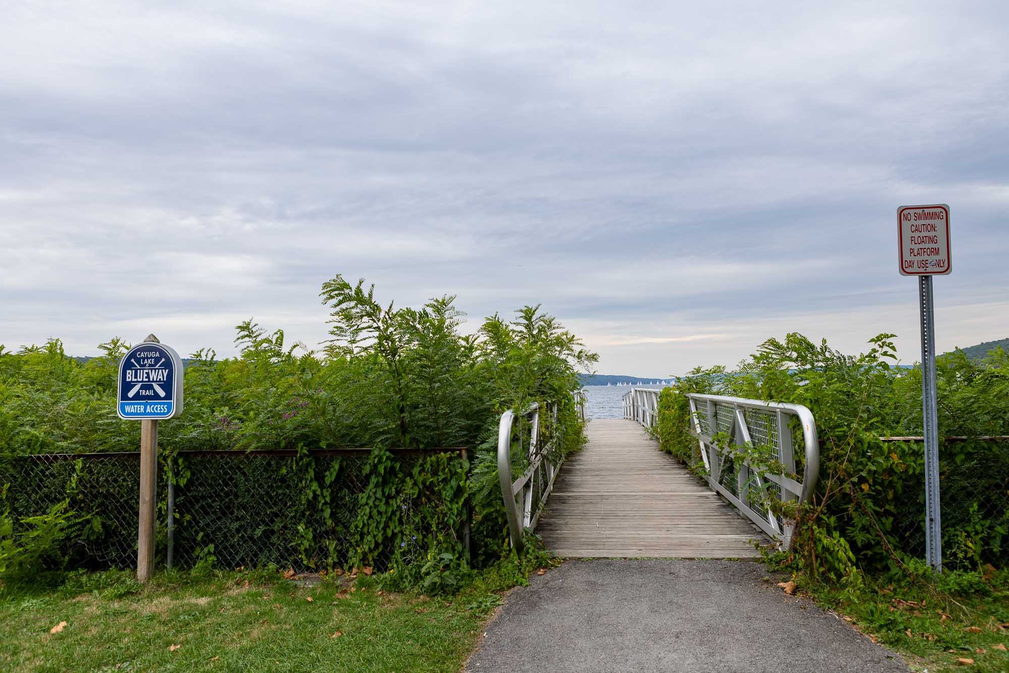
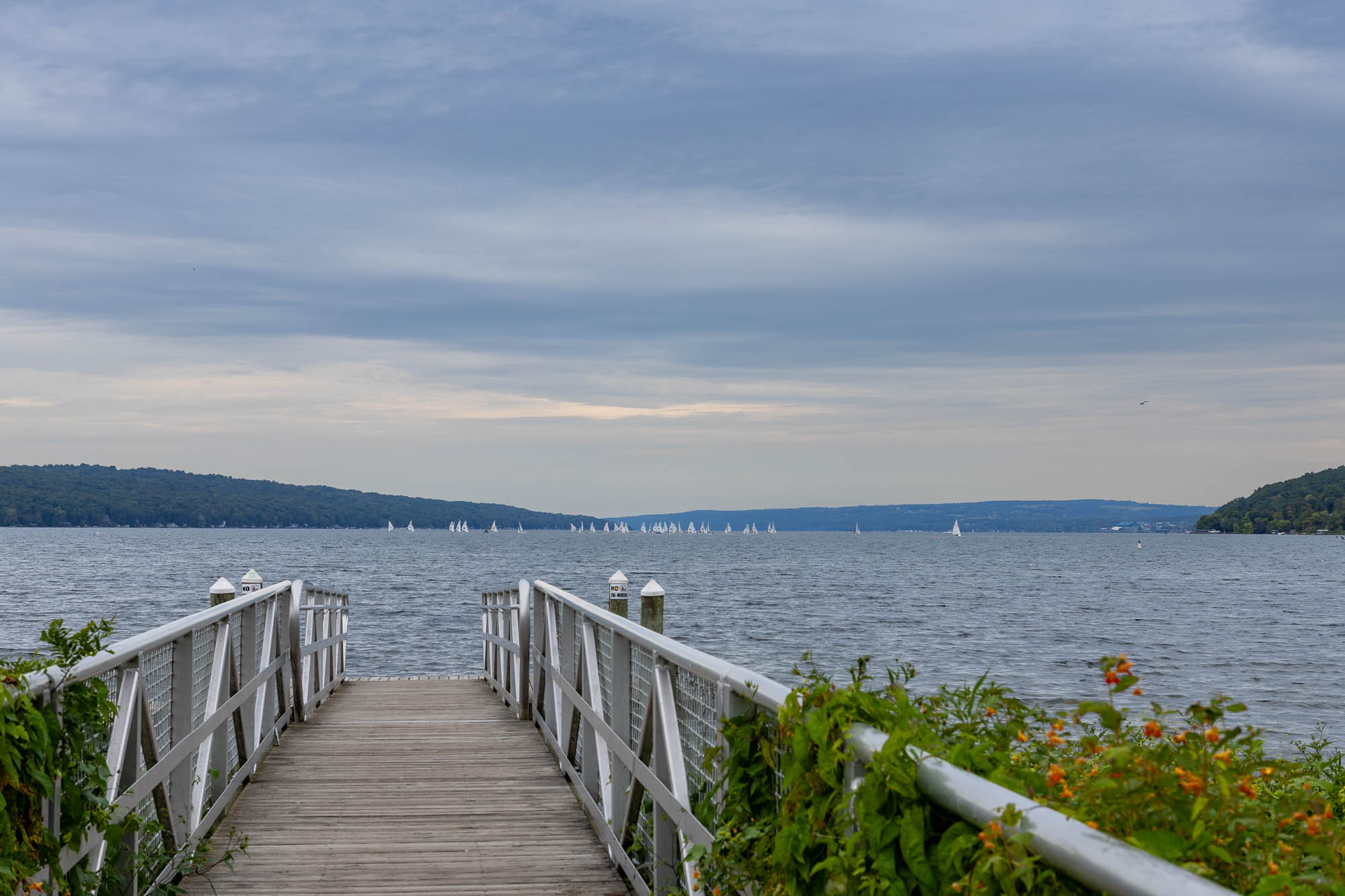
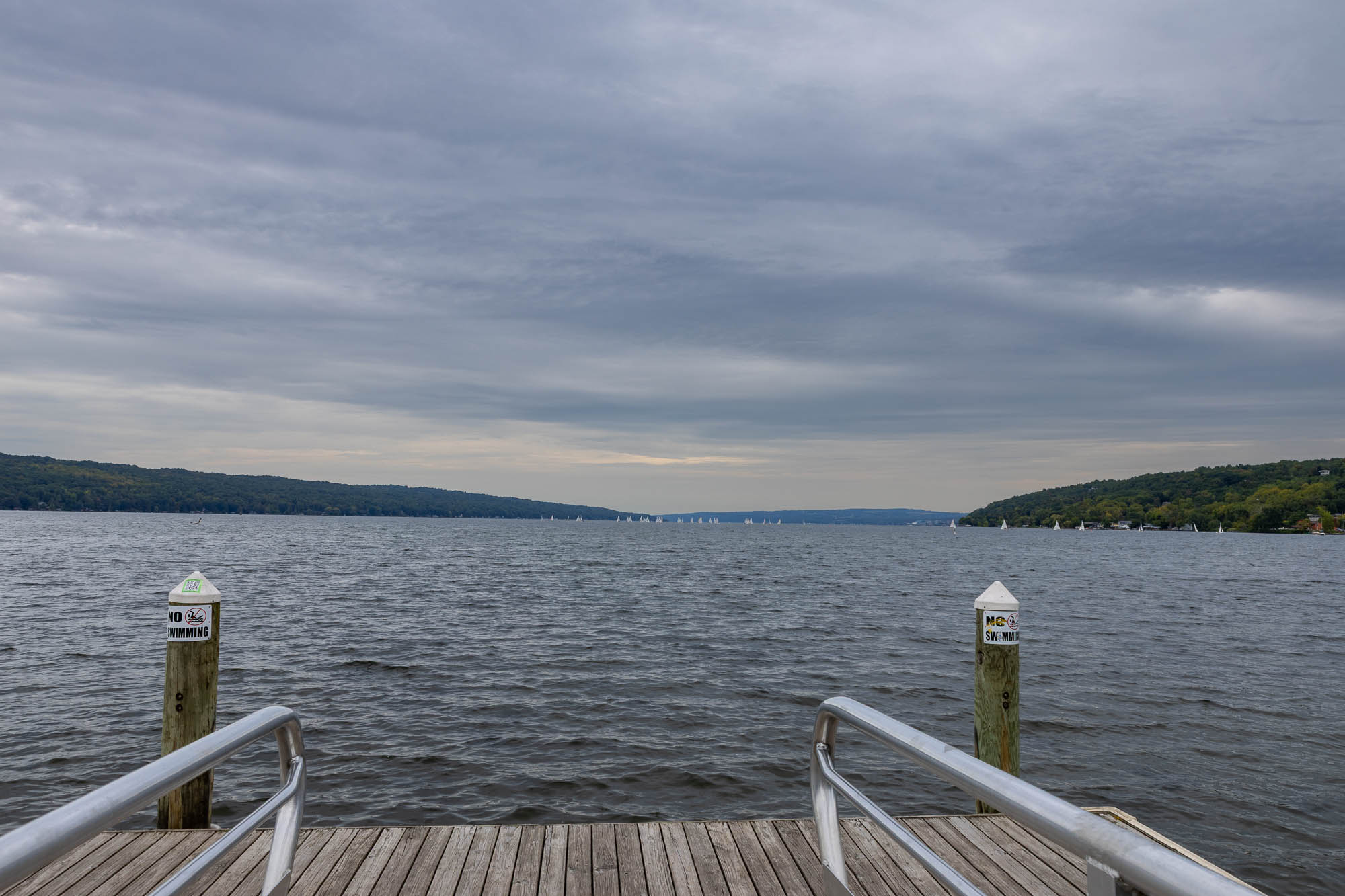
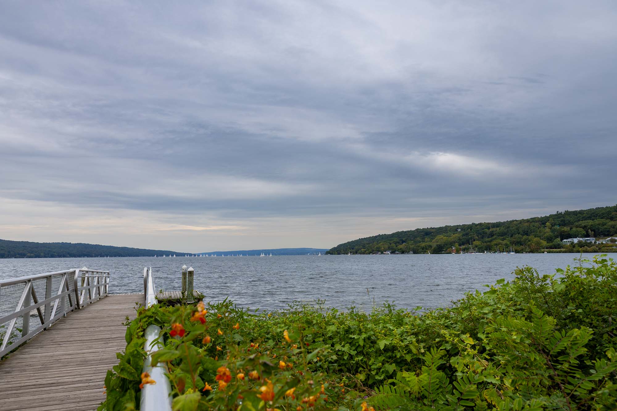
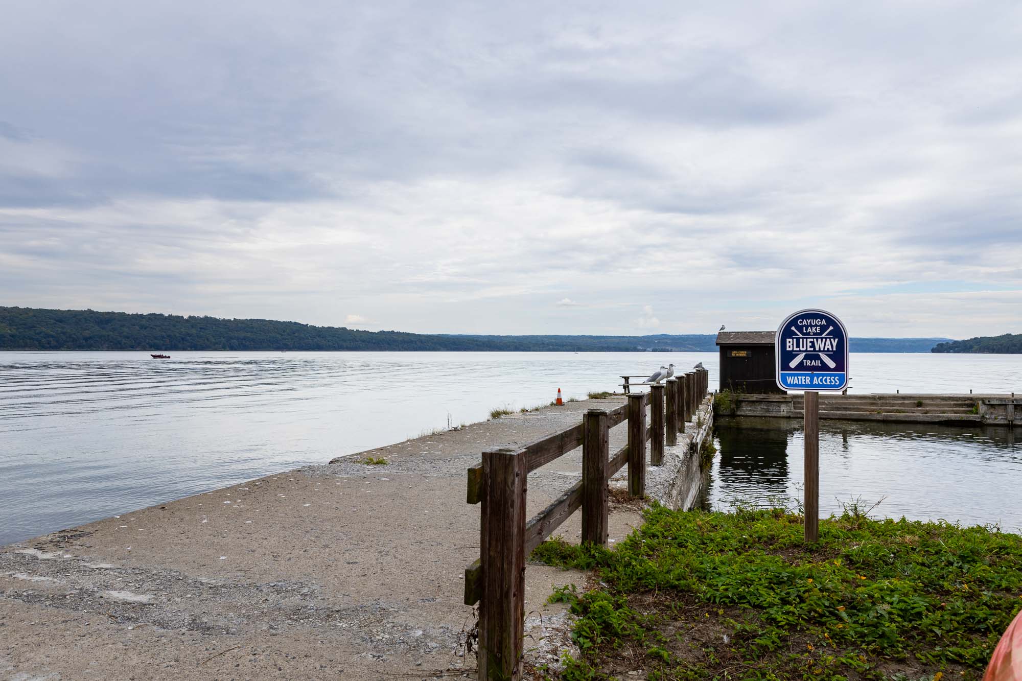
The Cayuga Lake Blueway Trail connects publicly accessible paddling launch points along Cayuga Lake. These sites can safely accommodate kayaks, canoes, stand up paddleboards and other non-motorized watercraft.

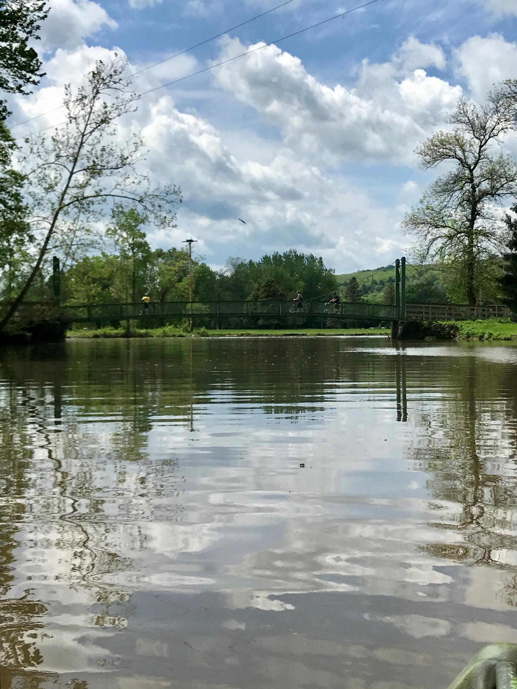
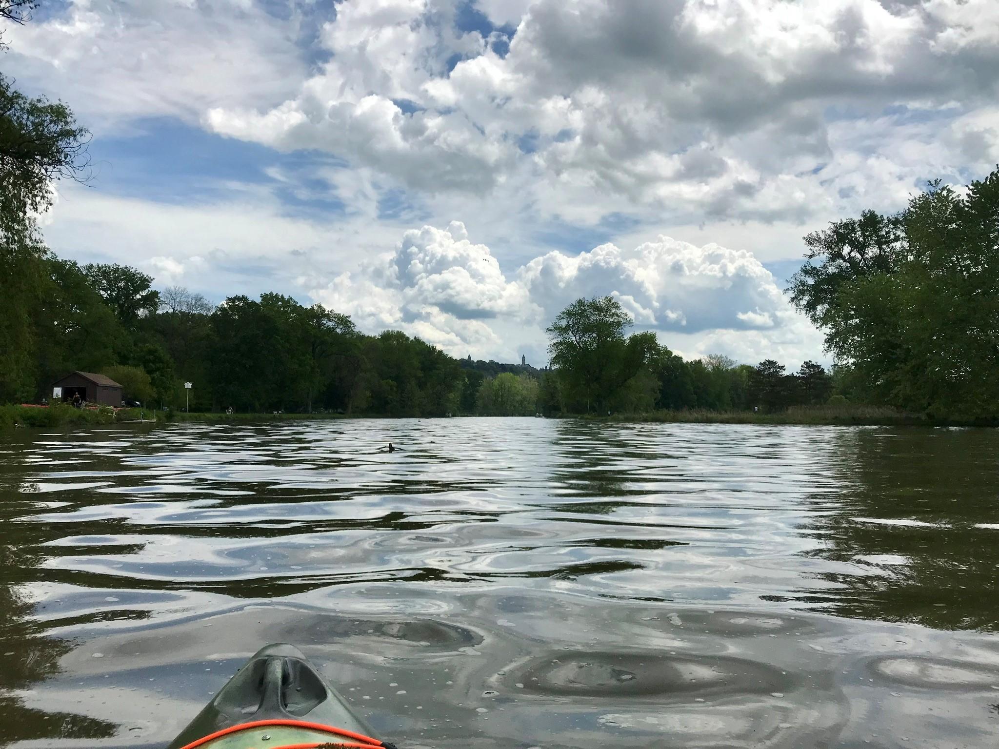
A wide variety of trip options are available to paddlers, including out-and-back expeditions and point-to-point day trips. Options are available for novice and advanced paddlers. Detailed descriptions of individual trips are available at CayugaLake.com.

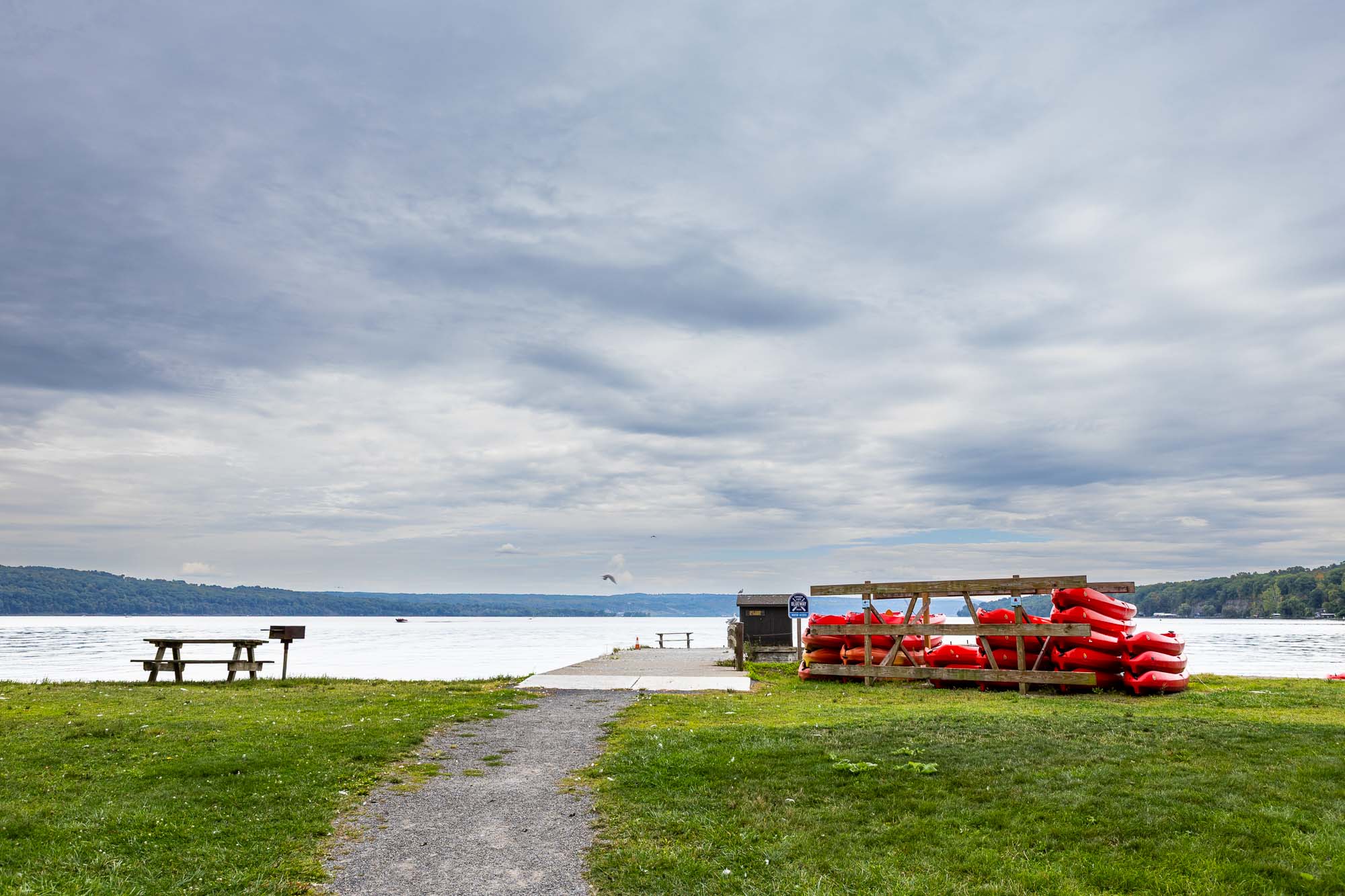
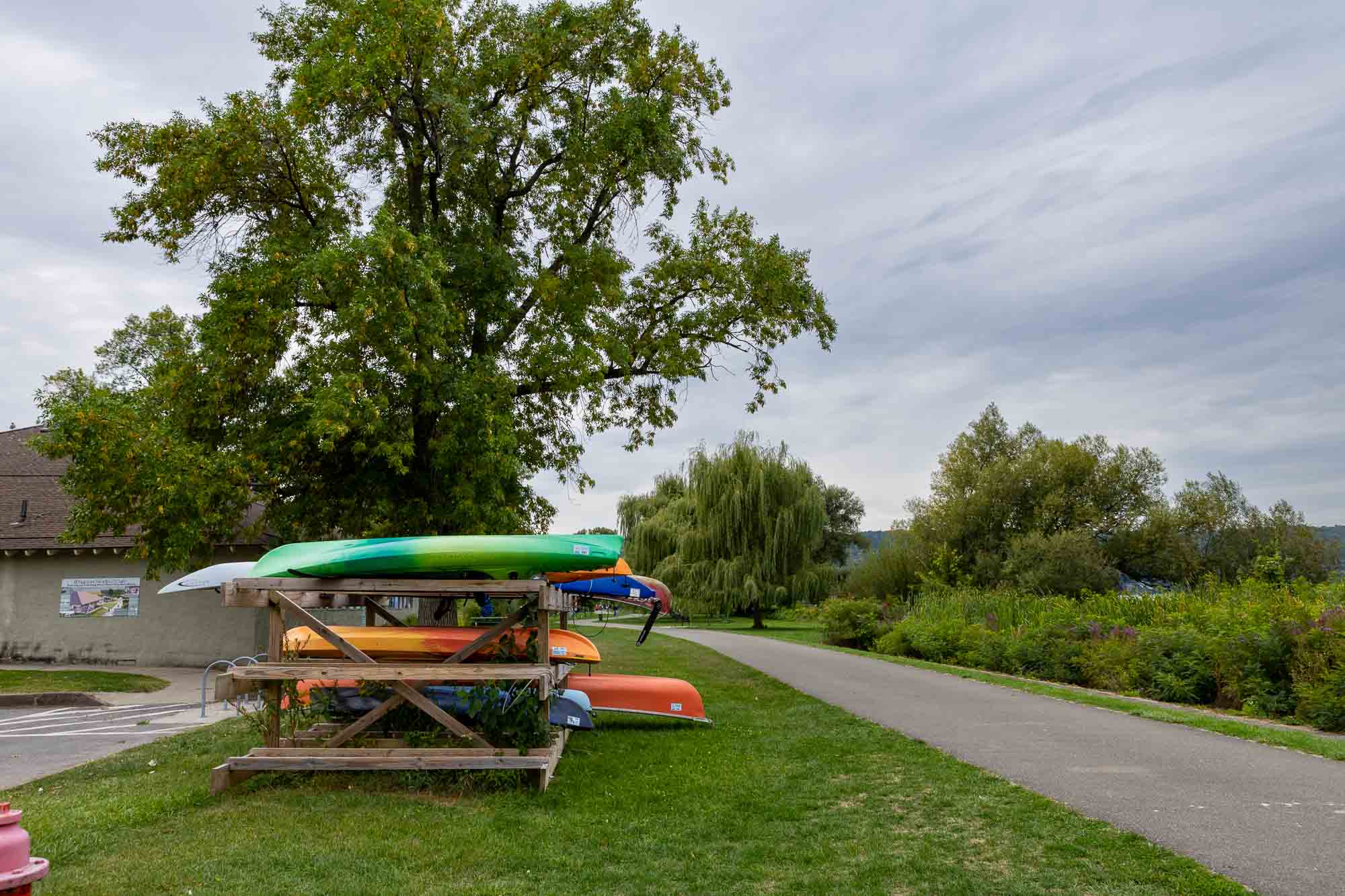
Kayak and paddleboard rentals are available seasonally through Paddle-n-more at Stewart Park, Taughannock Falls State Park, and Myers Park.

CayugaLake.com has information about launch points north of Tompkins County and sells a printed pocket guide to help you plan your next paddling adventure.

Weather conditions on Cayuga Lake can change quickly – make sure to check the forecast before your paddle and stay close to shore in case you need to get off the water unexpectedly. Wind direction and speed can have a major impact on the difficulty of paddling.

Always let someone know your paddling plan before you leave. Make sure to share the time you plan to return and get back in touch with them once back on shore.

Always wear a Coast Guard approved life vest. Because of its great depth, Cayuga Lake often remains cold even throughout the summer. A life vest can help prevent hypothermia.

Additional information about safe boating and personal flotation devices is available at the New York State Parks website and at CayugaLake.com.

White hiking boot on a brown circular background, symbolizing hiking or walking trails.
Hiking
White standard bicycle on a light blue circular background, denoting cycling or bike trails.
Biking
White electric bicycle with a lightning bolt above it on a green circular background, representing e-bike use.
e-Biking
White outline of a horseshoe centered on a gold circular background, symbolizing horseback riding.
Horse
White icon of a person running with motion lines on a dark blue circular background, symbolizing physical activity or trail use.
running
White icon of a kayak with a double-bladed paddle on a brown circular background, representing paddling or kayaking.
Paddling
White crossed skis and ski poles on a light blue circular background, indicating winter sports or skiing.
Skiing
White outline of two crisscrossed snowshoes on a green circular background, representing snowshoeing activity.
Snowshoe
Distance // 0 Miles
Difficulty // Easy

    Parking Locations

    Cass Park Kayak and Canoe Launch
    Get Directions

    Stewart Park
    Get Directions

    Taughannock Falls State Park Lower Gorge (NY-89)
    Get Directions

    Cass Park Kayak/Canoe Launch Point
    Get Directions

    East Shore Park Kayak/Canoe Launch Point
    Get Directions

    Myers Point Boat Launch
    Get Directions

    Stewart Park Kayak/Canoe Launch Point
    Get Directions

    Taughannock Beach Kayak/Canoe Launch Point
    Get Directions

    Bus Stops

    Cass Park Kayak and Canoe Launch
    Get Directions

    Stewart Park
    Get Directions

    Taughannock Falls State Park Lower Gorge (NY-89)
    Get Directions

    Cass Park Kayak/Canoe Launch Point
    Get Directions

    East Shore Park Kayak/Canoe Launch Point
    Get Directions

    Myers Point Boat Launch
    Get Directions

    Stewart Park Kayak/Canoe Launch Point
    Get Directions

    Taughannock Beach Kayak/Canoe Launch Point
    Get Directions

    Trails. Views. Adventure. Ithaca.

    Report a Problem

    Send Us Your Photos

    Current Trail Alerts

    Roy H. Park Preserve

    • The north entrance to the Roy H. Park Preserve and the boardwalk will be closed to the public from Monday, July 7, through September 2025 as work is underway to install an ADA-accessible path. The south entrance will remain open during this time. Thank you for your patience.

    Fall Creek Gorge Natural Area

    • The section of trail in Fall Creek Gorge west of the suspension bridge to Chi Psi is unstable and closed until further notice.

    Cascadilla Gorge Natural Area

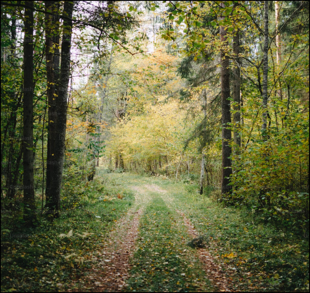
    • A portion of the Cascadilla Gorge Trail between Stewart Avenue and College Avenue is closed for construction and will reopen in spring, 2026. The trail between Linn Street (Treman Triangle) up to the Stewart Avenue Bridge is now open.

    Beebe Lake Natural Area

    • Hemlock Gorge trail upstream of Sackett Bridge is closed.