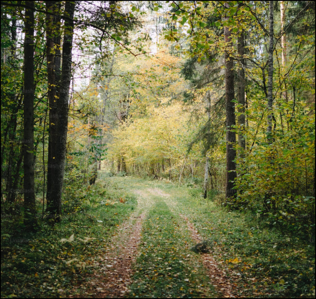
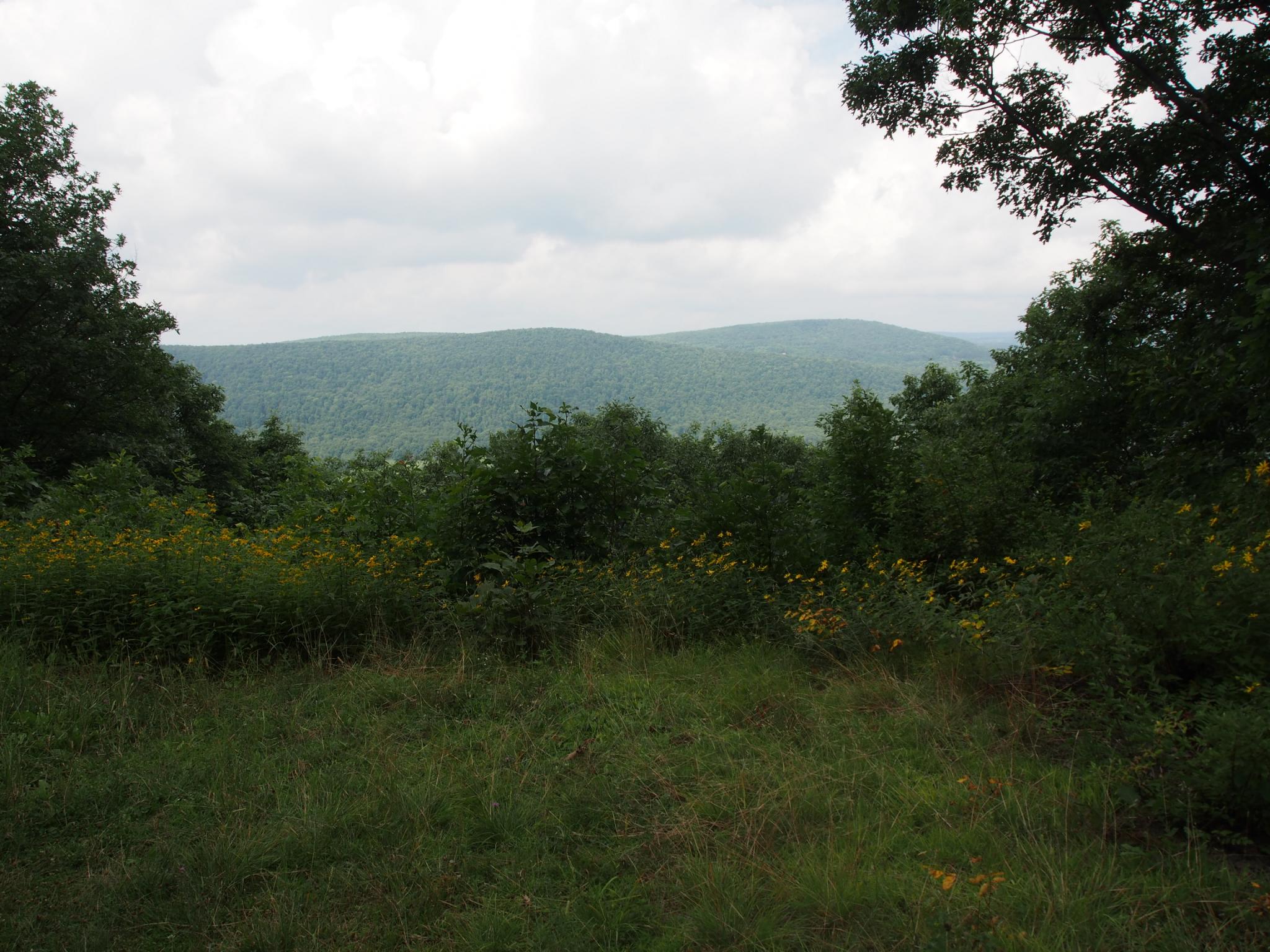
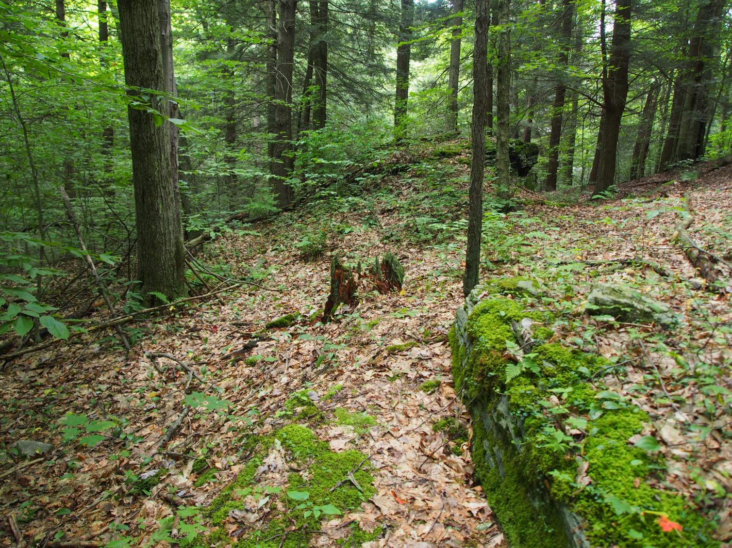
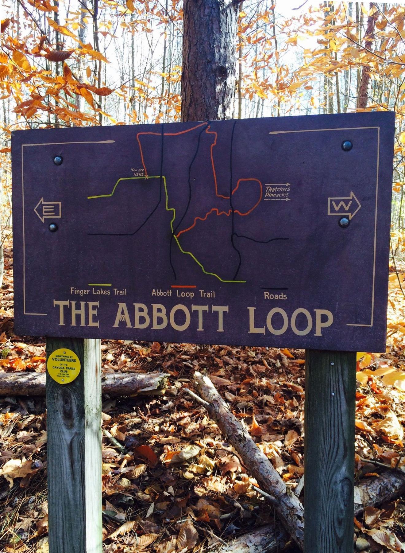
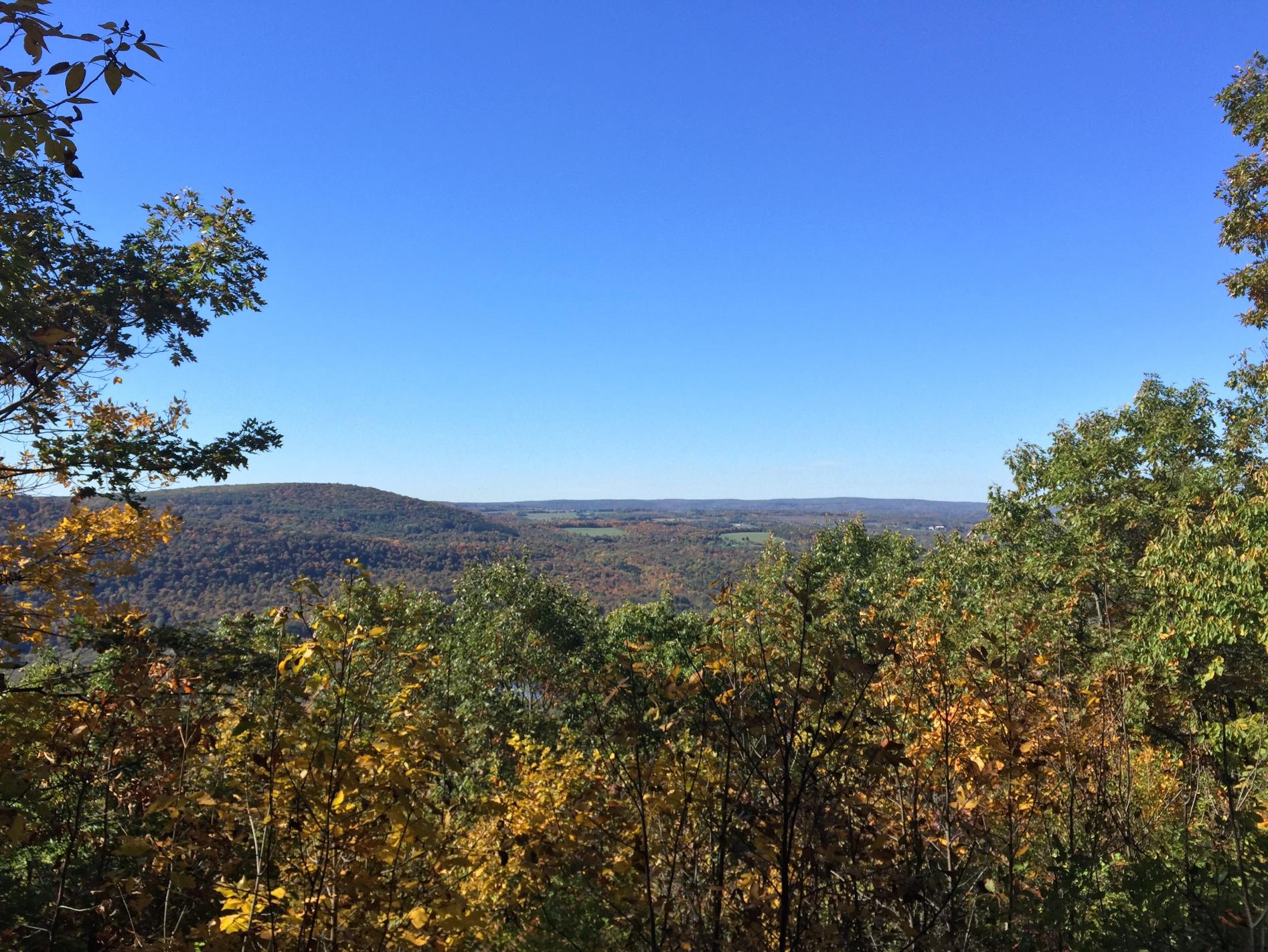
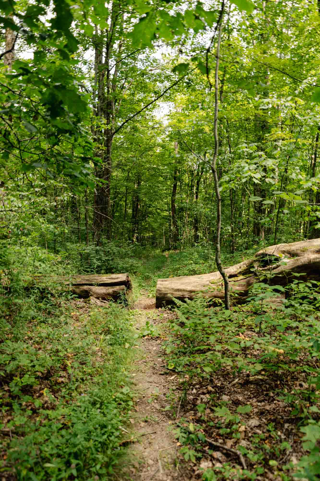
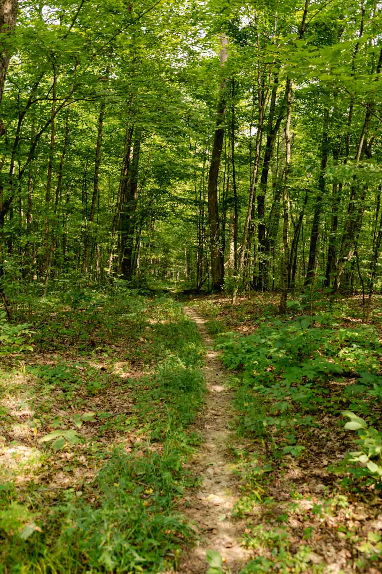
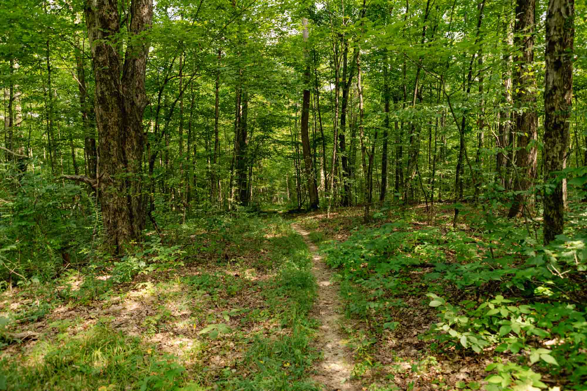
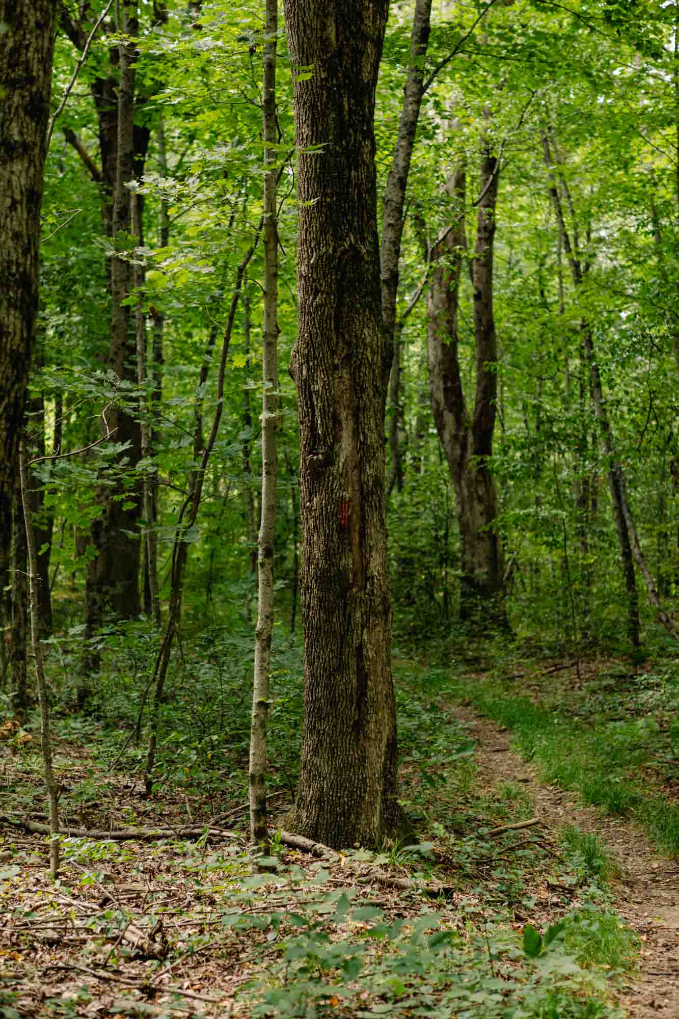
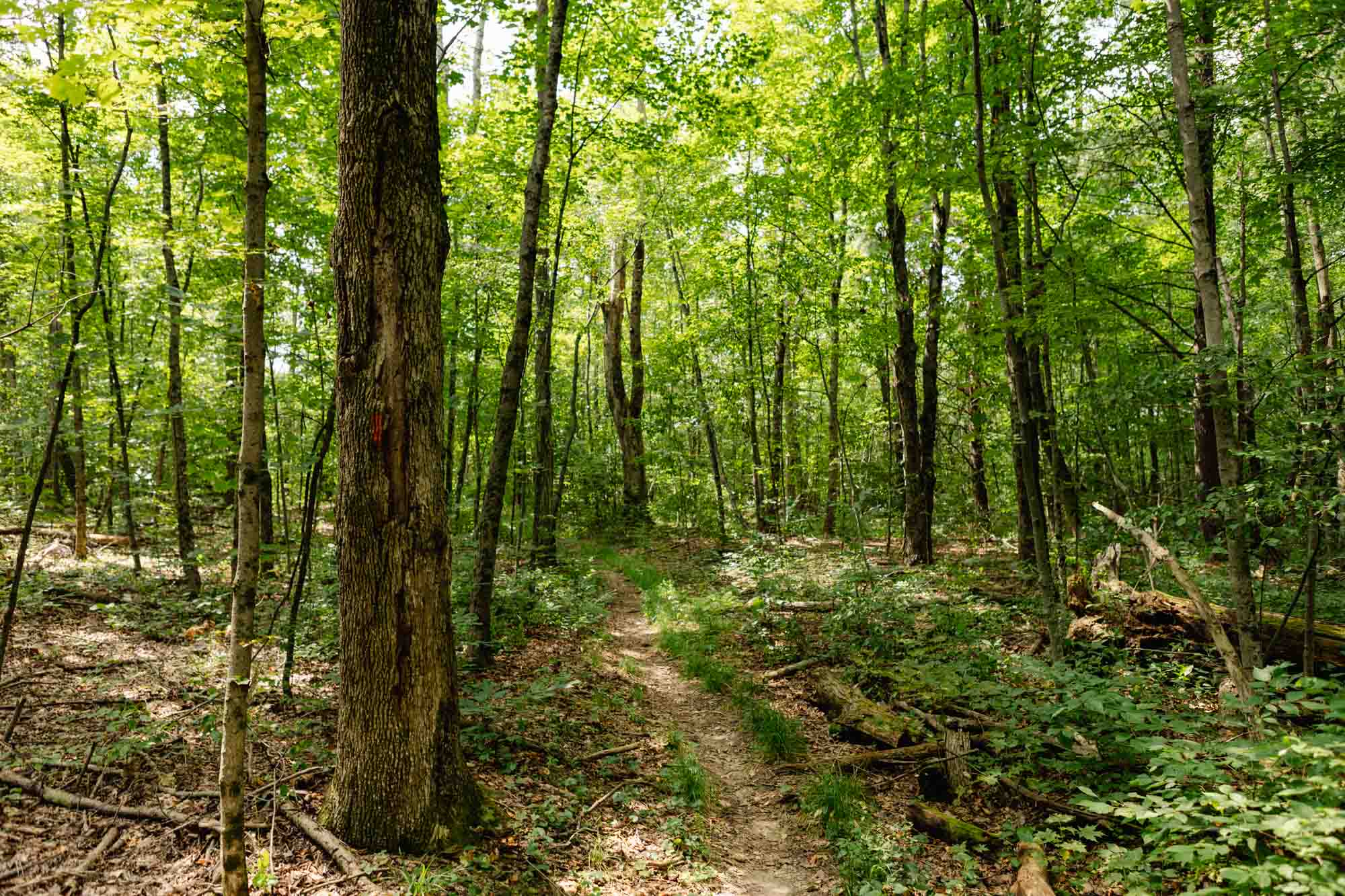
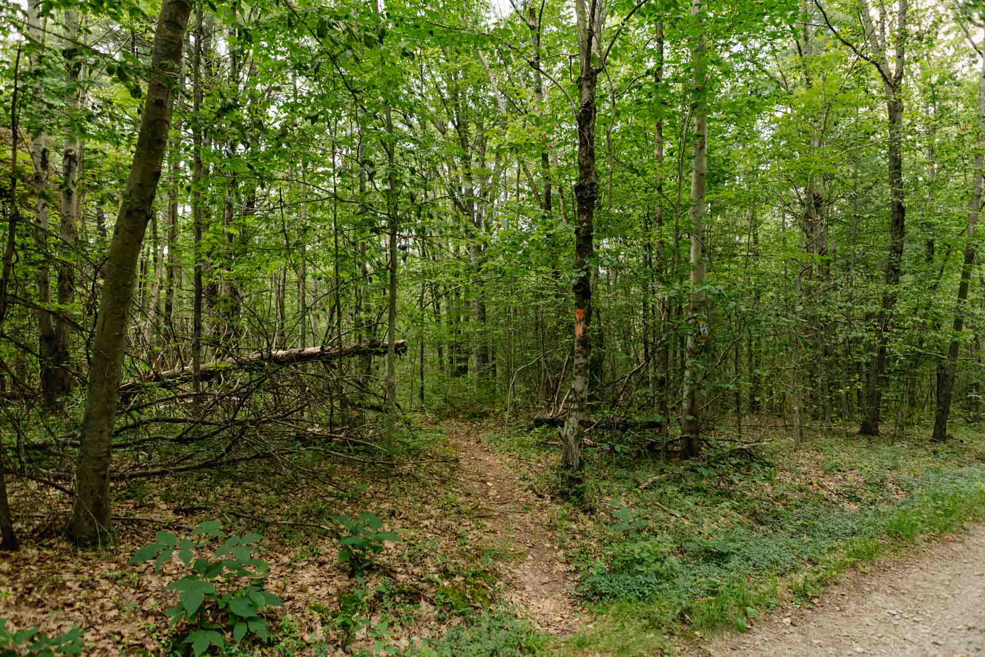
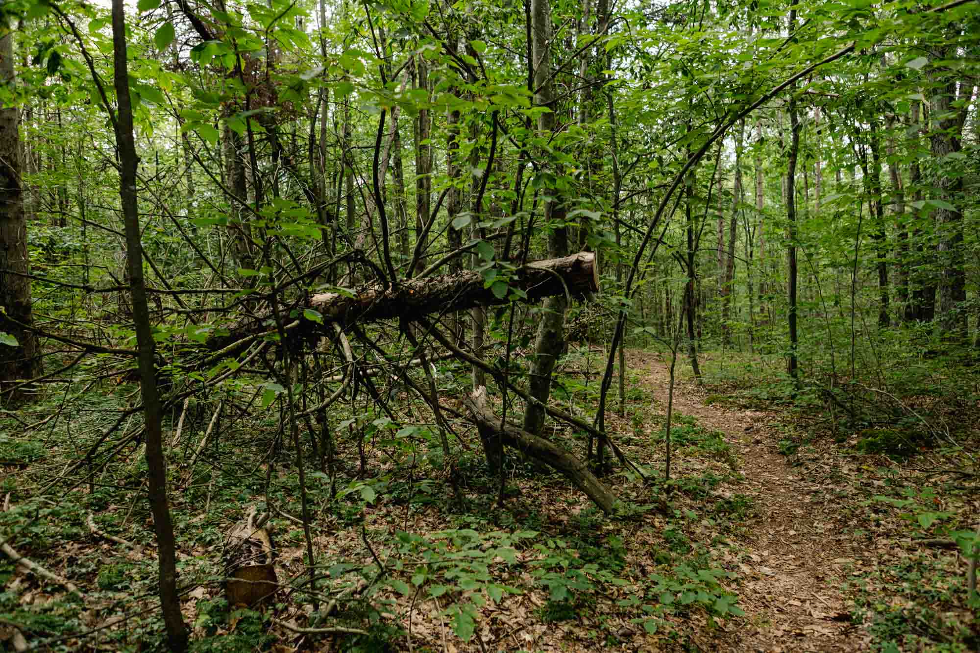
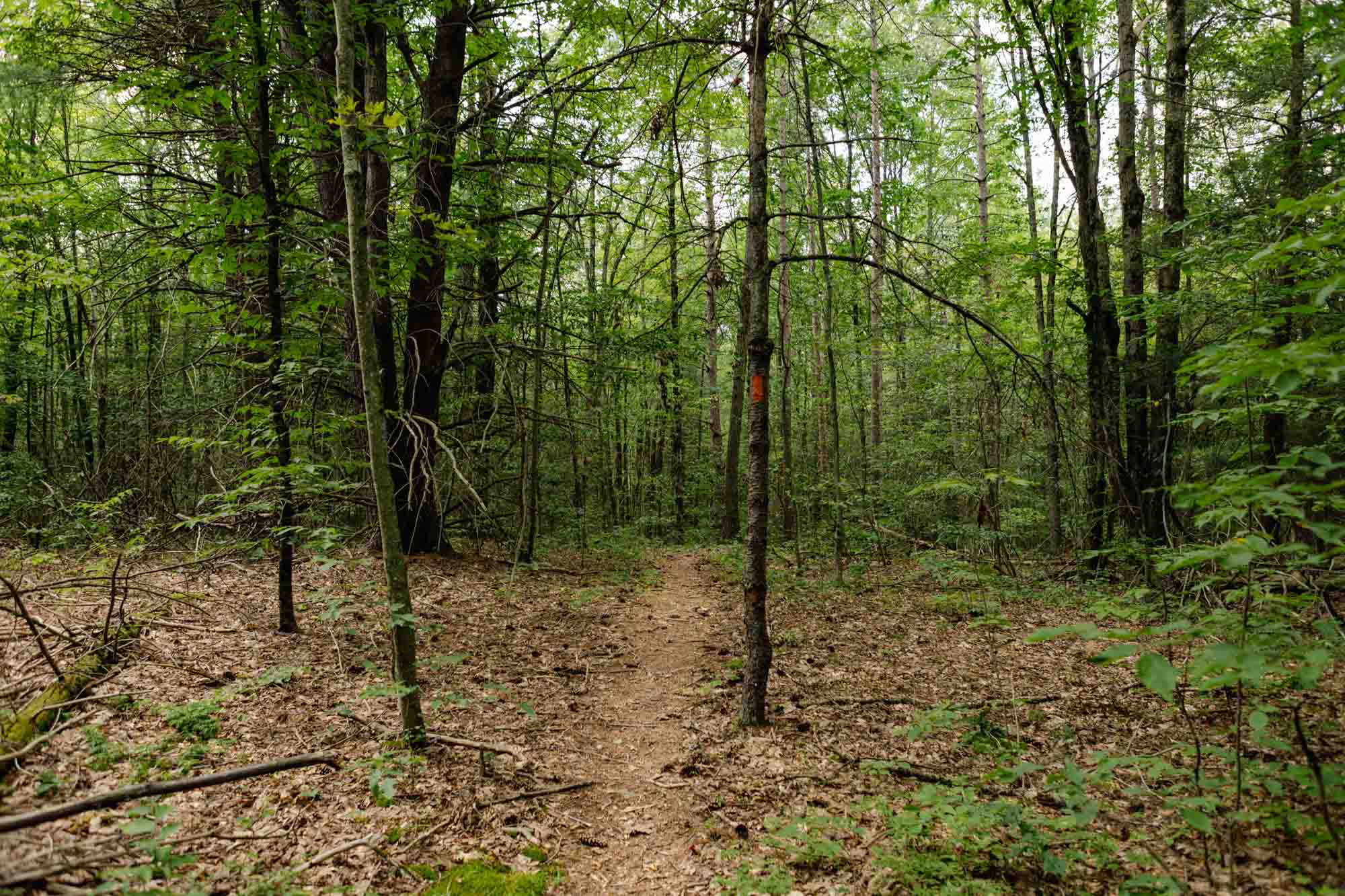
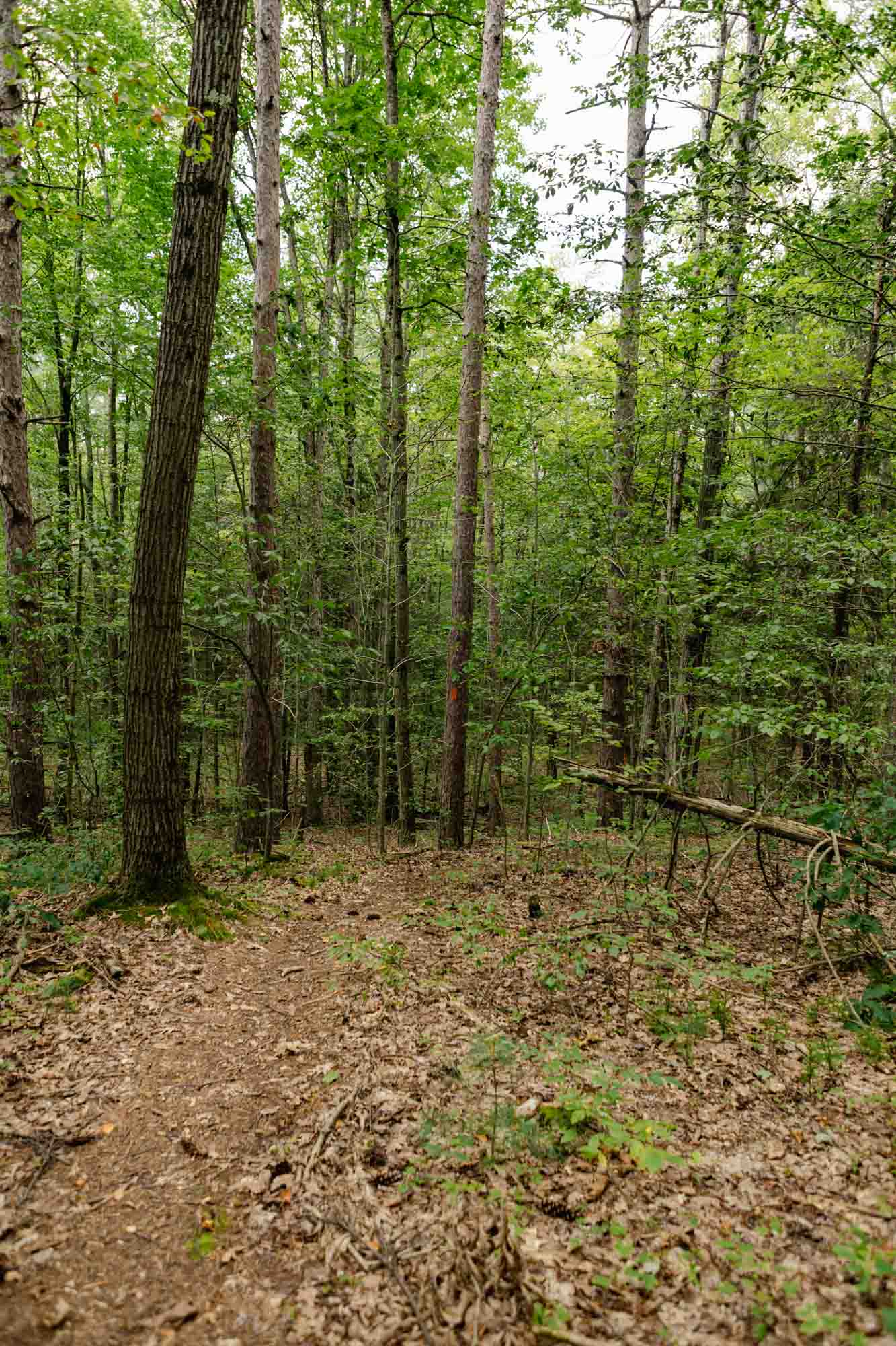
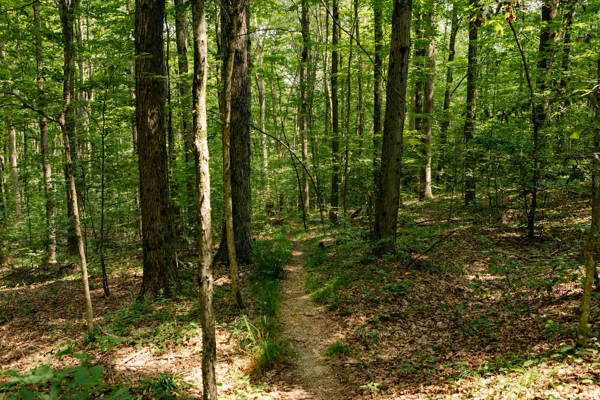
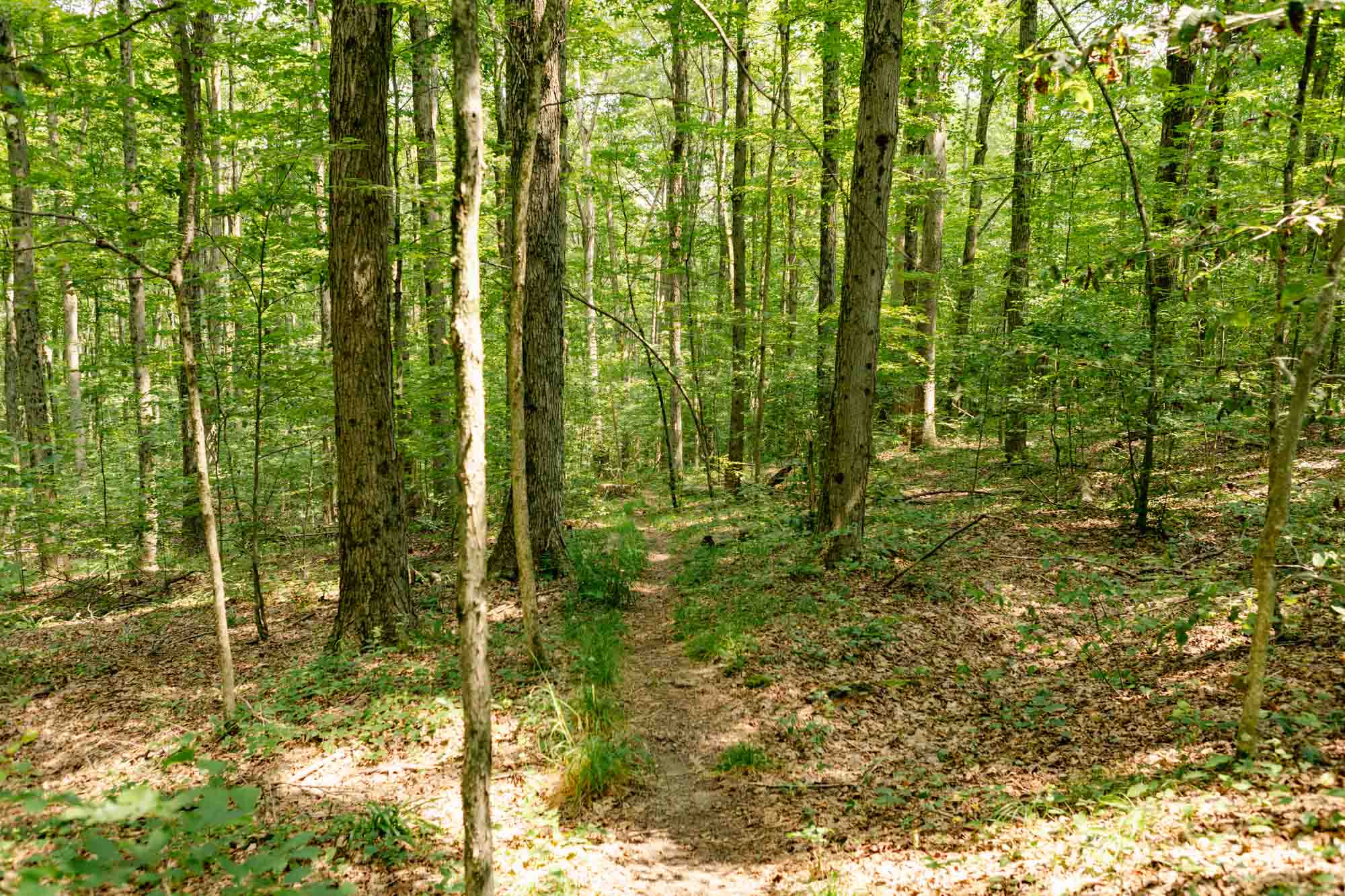
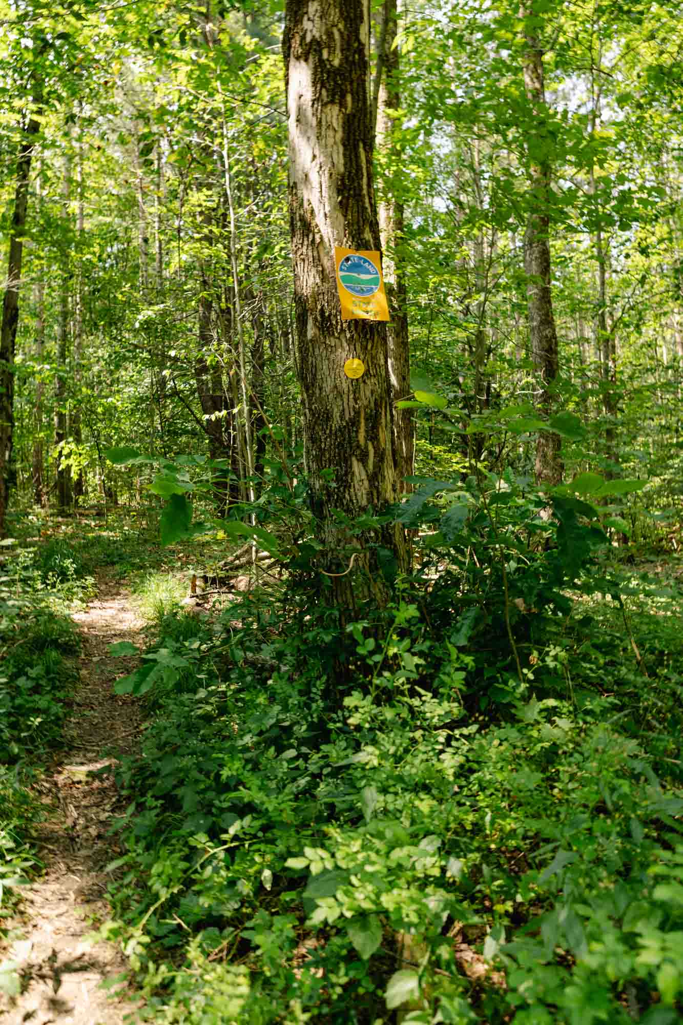
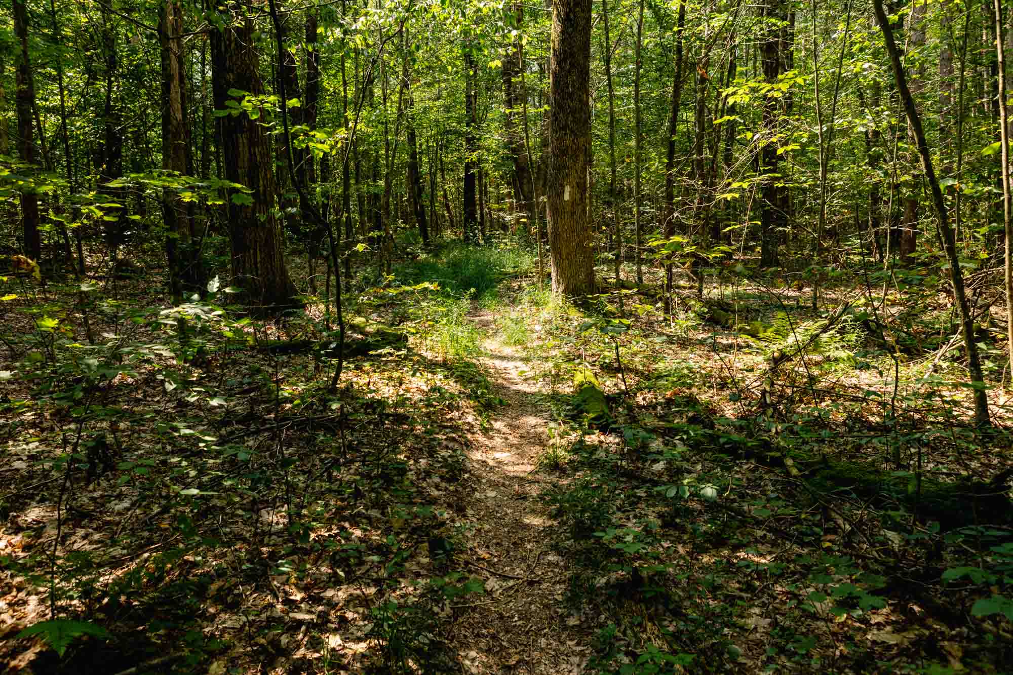
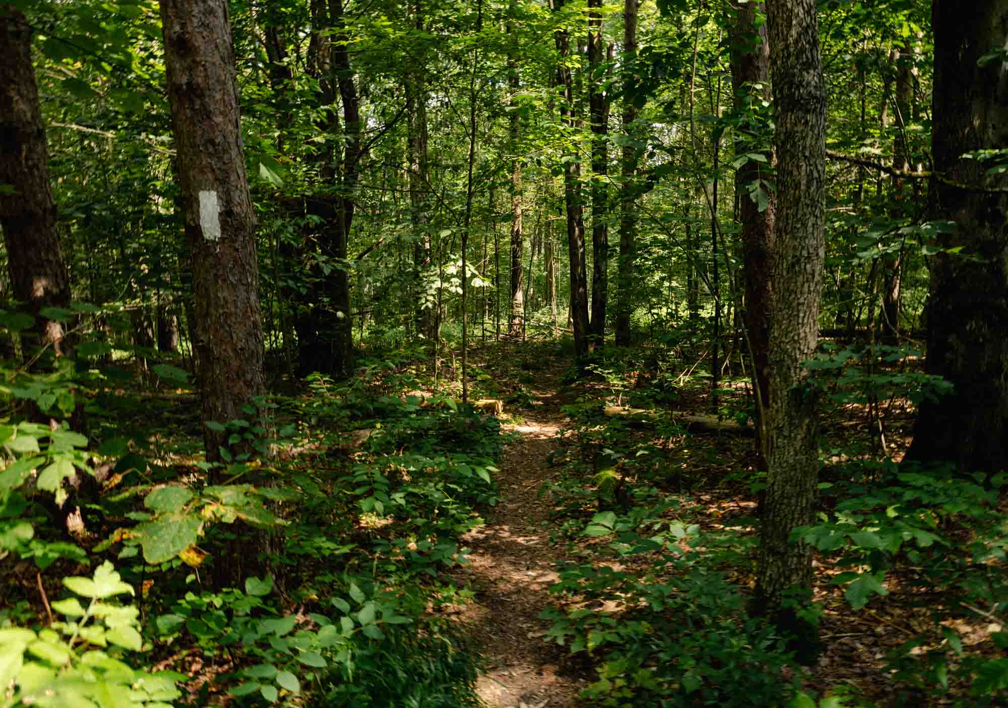
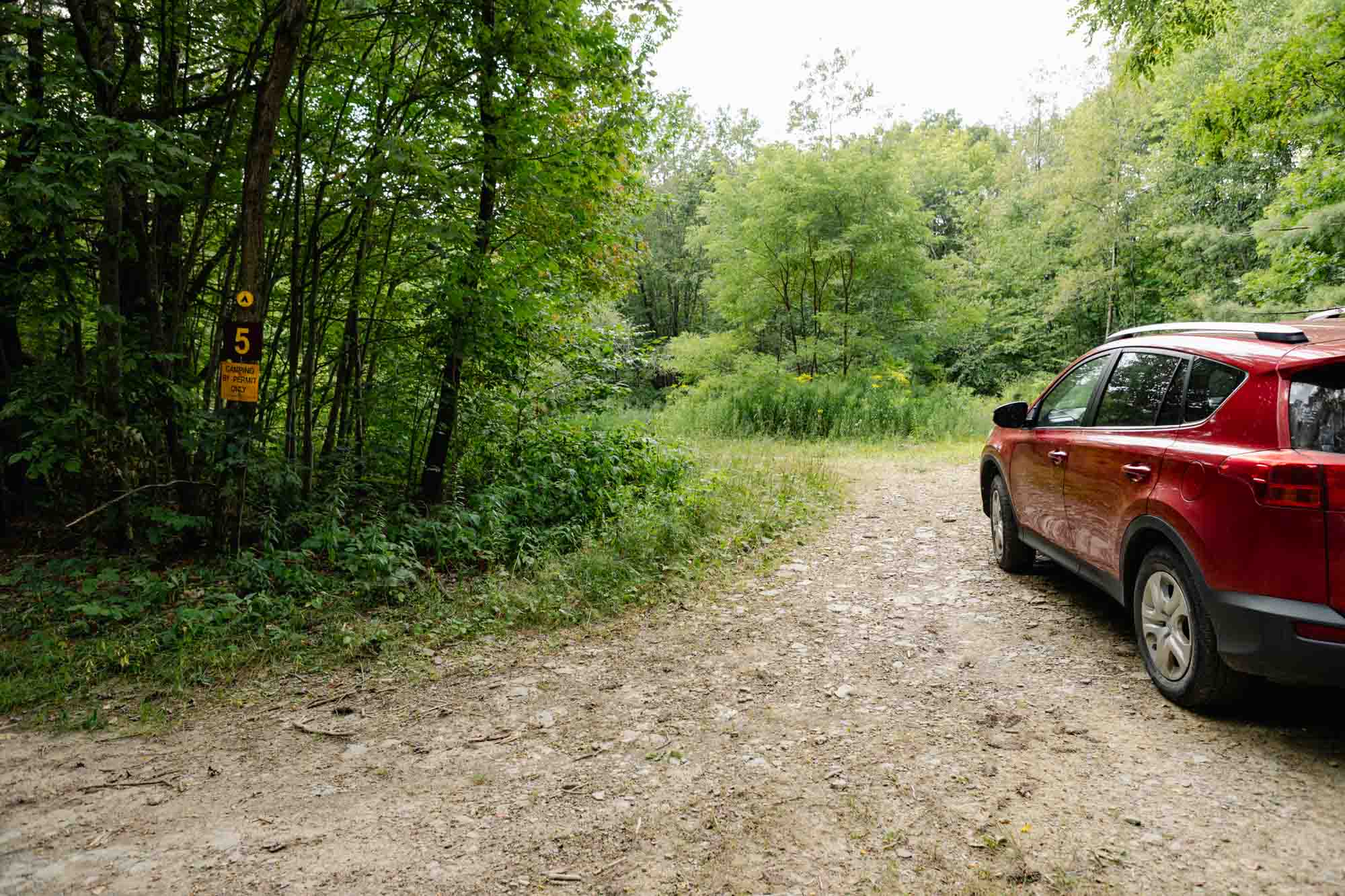
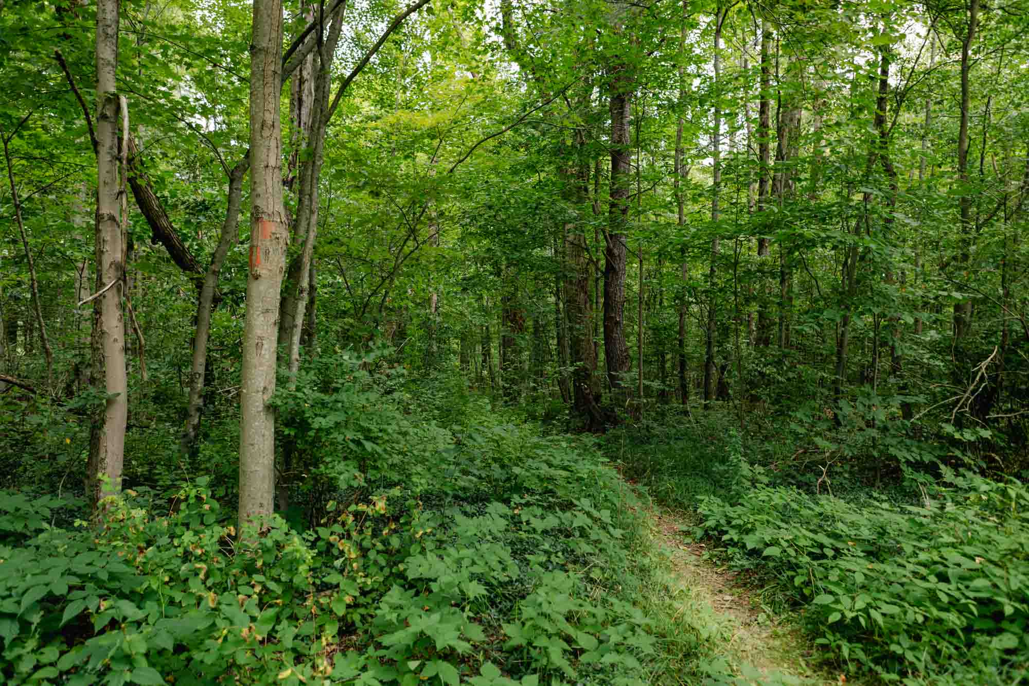
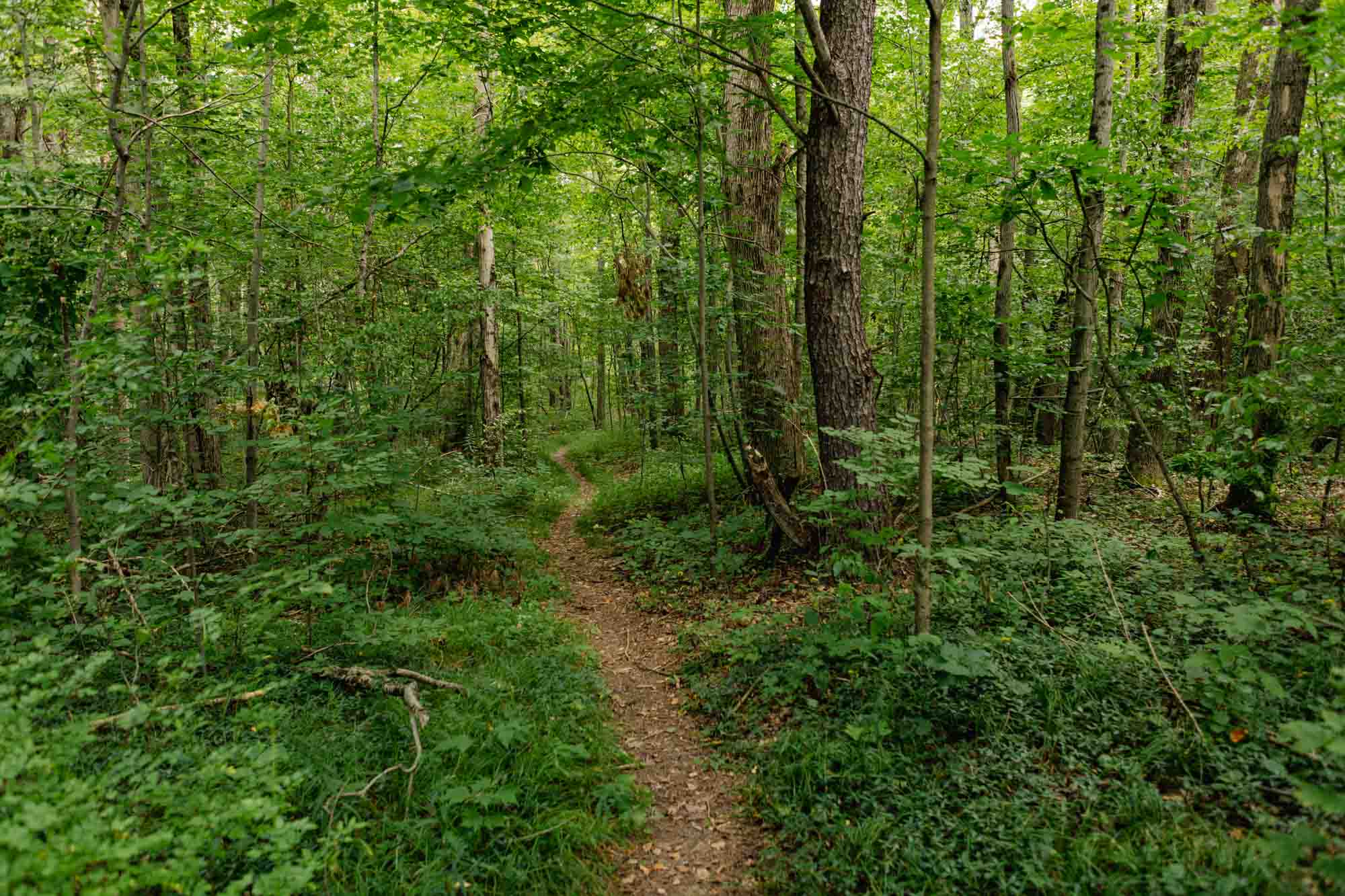
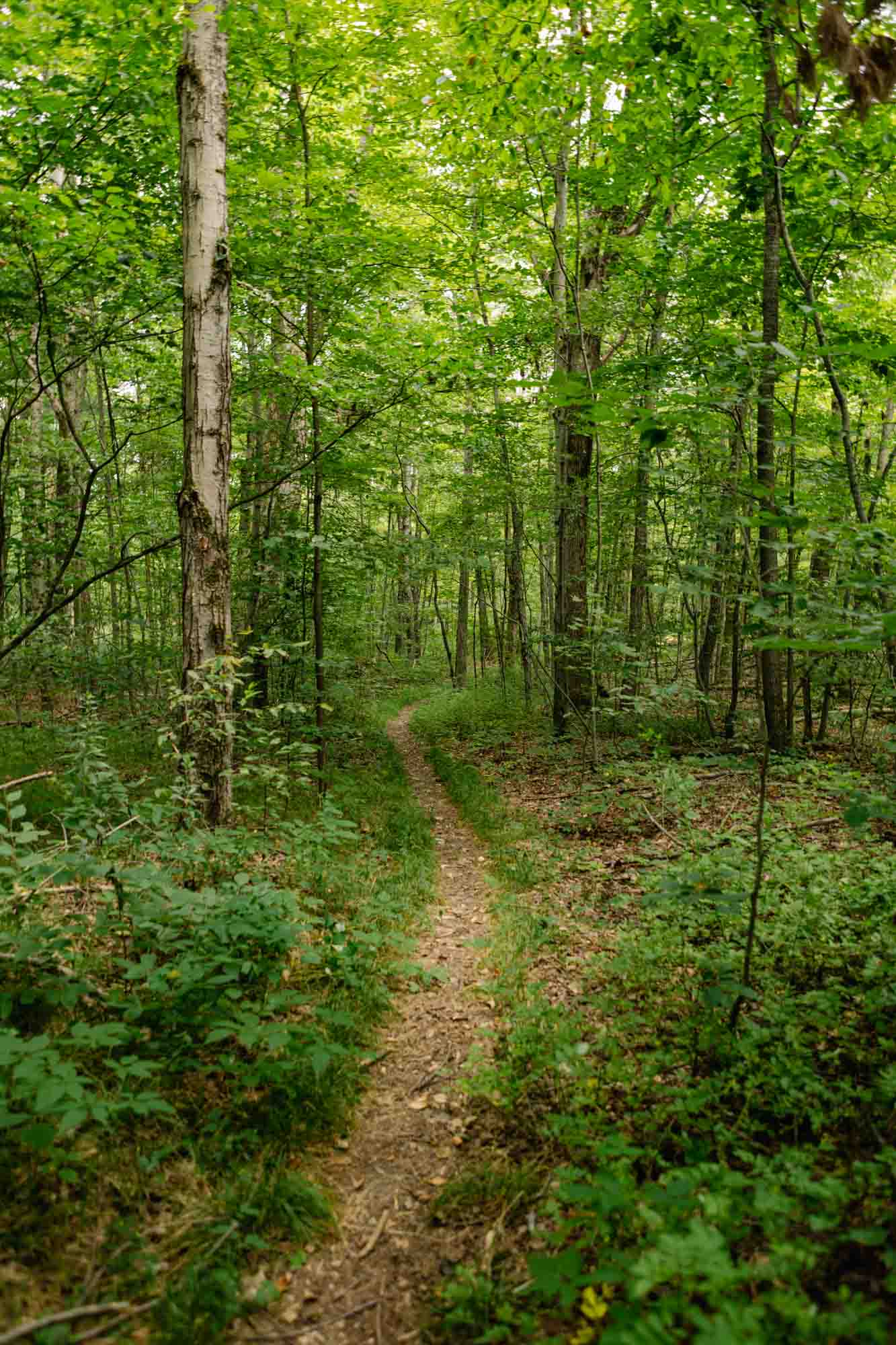
The Abbott Loop was planned by Cliff and Doris Abbott and built by the Cayuga Trails Club. It is one of the most popular day hikes in our region offering a moderately challenging wilderness loop hike of 8.2 miles. Numerous shorter out and back hikes can also be planned. Starting at the southern crossing of the Abbott Loop and Michigan Hollow Road, cross the creek on the road and pick up the orange blazed Abbott Loop Trail on the right (eastern side) of Michigan Hollow Road, opposite the wide shoulder parking spot. Cross a rocky ravine and begin a steep ascent. The trail reaches Hill Road (south) after 0.9 miles from the start. Turn right on the road. The trail leaves the road on the left and crosses a creek (1.5 miles). The orange blazed trail ends after 2 miles at a junction with the white blazed main FLT. Turn left, cross an old beaver dam on puncheons and start uphill to Hill Road. Cross Hill Road (north) (2.2 miles). Cross a stream on a footbridge and reach Smiley Hill Road. Cross Road and another footbridge. Reach Michigan Hollow Road after 3.6 miles. This trail is NOT closed during hunting season however hunting is permitted in Danby State Forest. Stay on trail and wear blaze orange during hunting seasons.
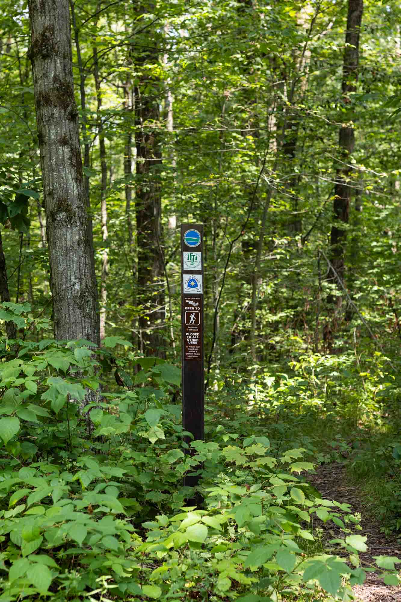
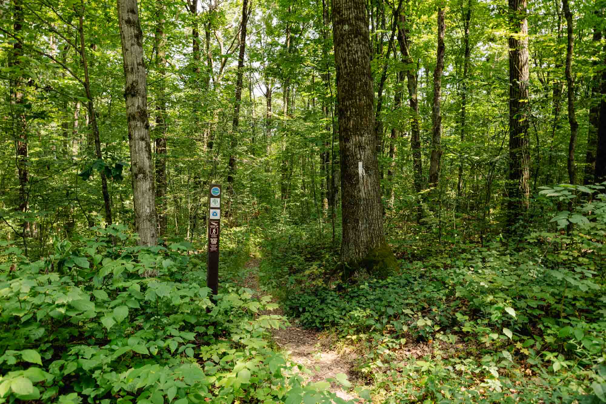
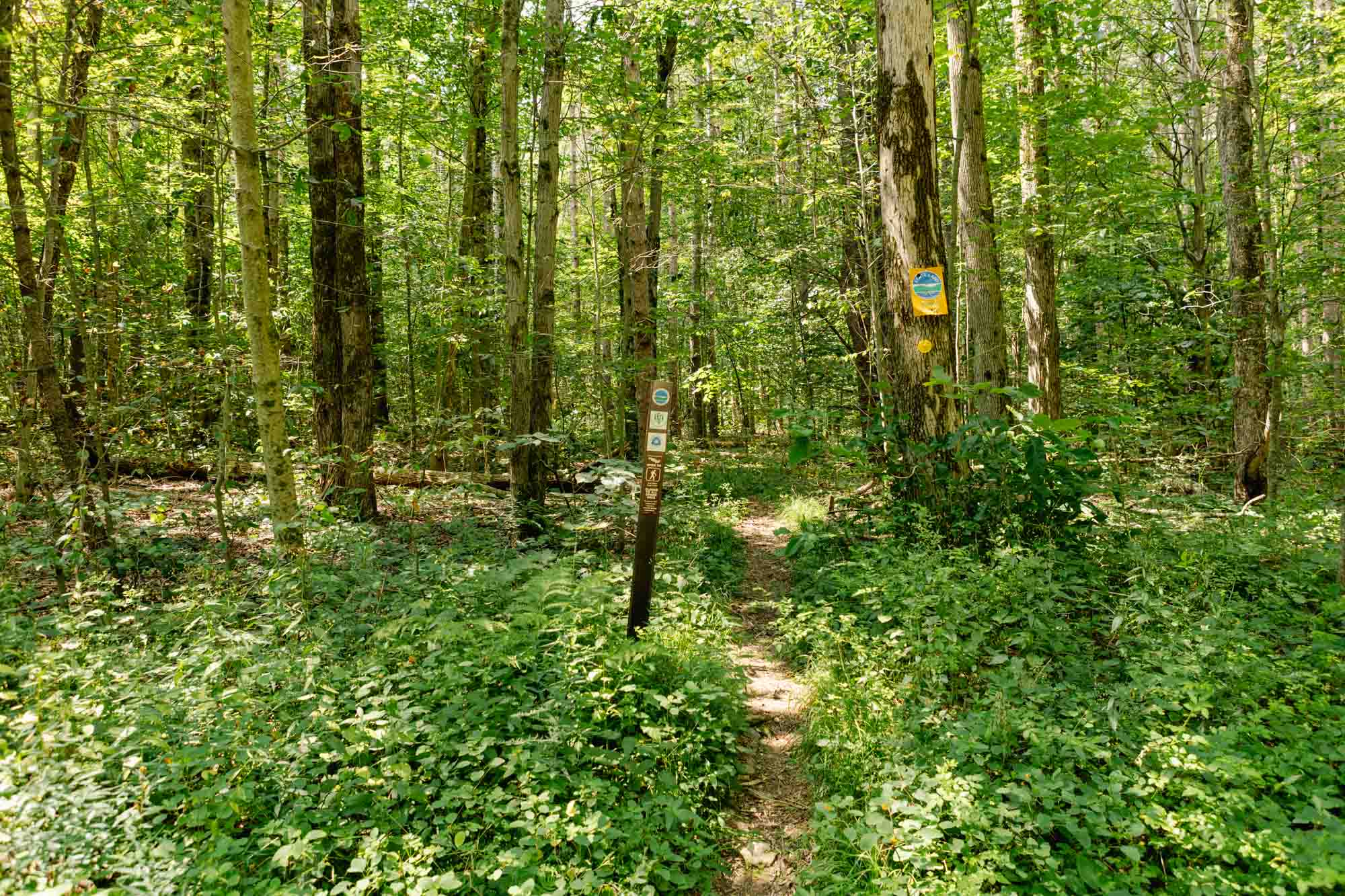
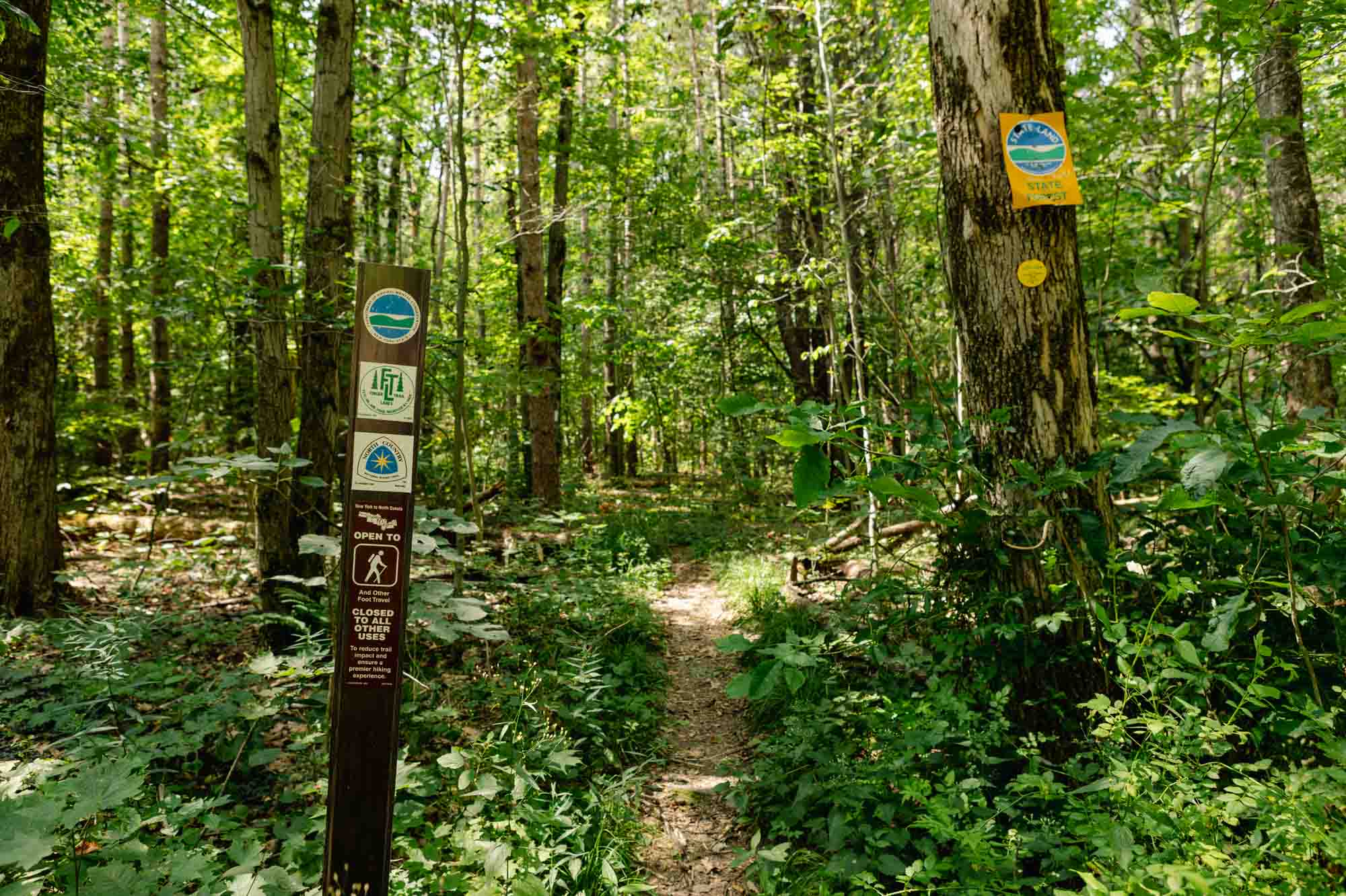
Portions of this trail system are also included in the Finger Lakes Trail system.
This trail is part of the Finger Lakes Trail.


Michigan Hollow Road @ Finger Lakes Trail / Abbot Loop
Get Directions
Michigan Hollow Road @ Finger Lakes Trail / Abbot Loop
Get Directions