Trail Alerts // Check for the latest trail alerts before you go. See All Trail Alerts

Dryden Rail Trail

Difficulty // Easy
Activities // Hiking, Bicycling, e-Bicycling, Horseback, Snowshoeing, Cross-country Skiing, Running
Distance // 10.1 miles
Features // Lakes visible, Scenic vistas, Unique wildlife viewing, Picnicking allowed, Restrooms available, Dog-friendly (on leash)
Route Type // Out and Back
Estimated hiking time // 3 hrs 22 mins
Open year-round.
Hunting not allowed.
Surface types // Gravel / Stone Dust
Trail markers // none

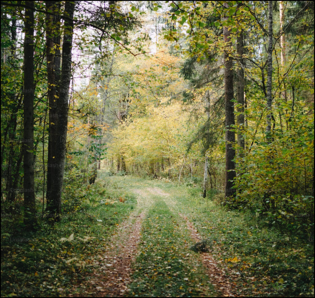
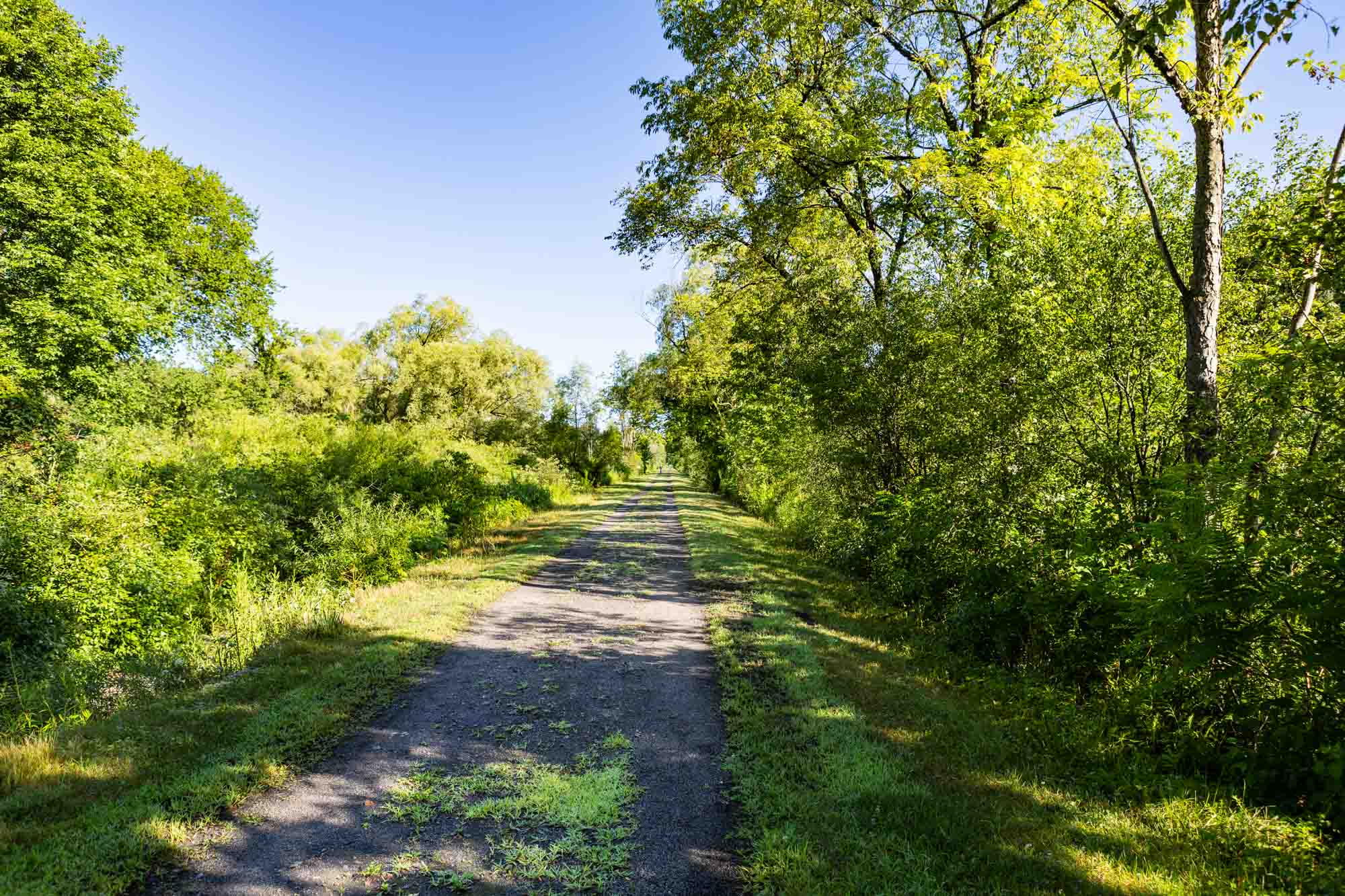
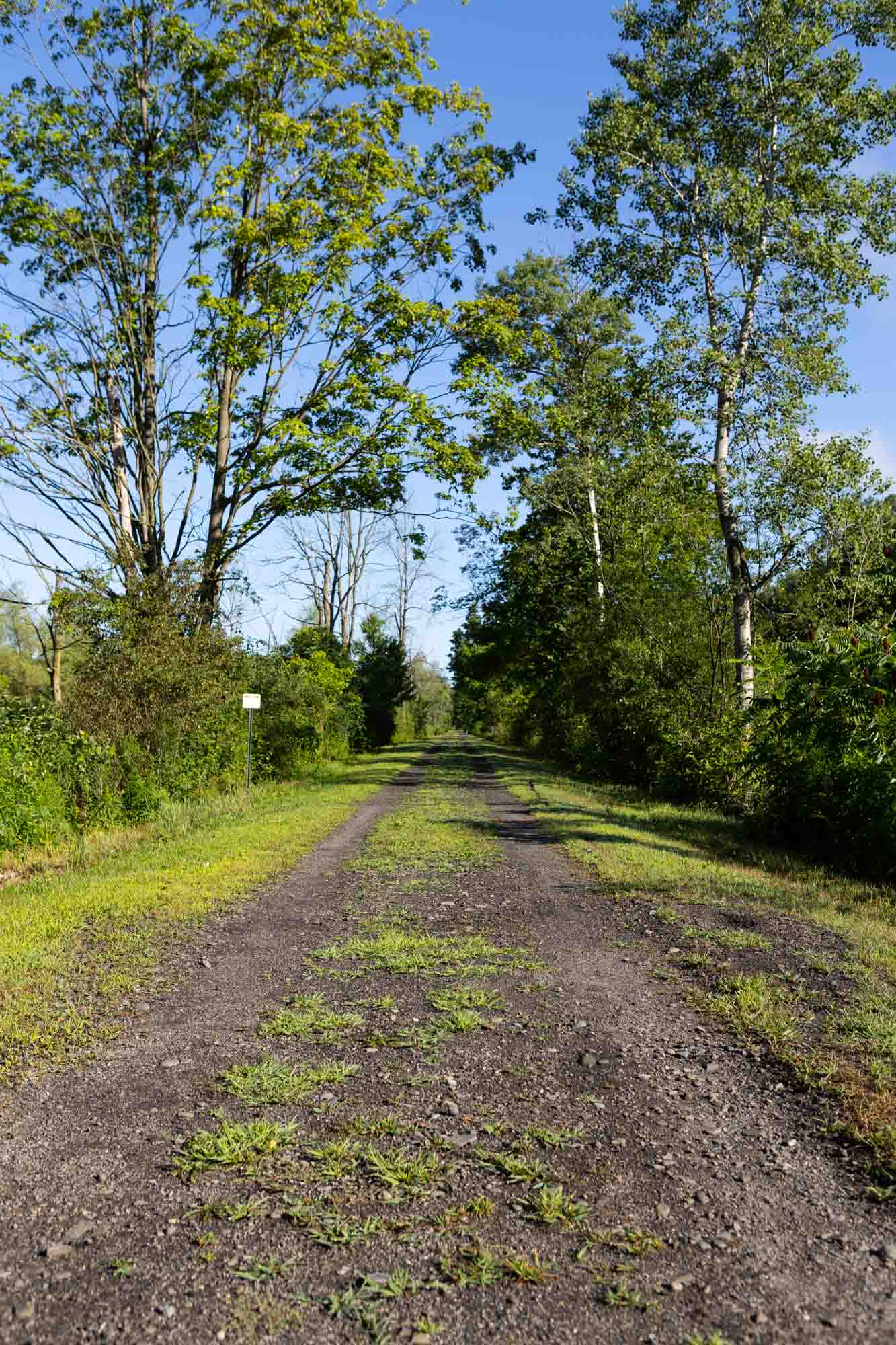
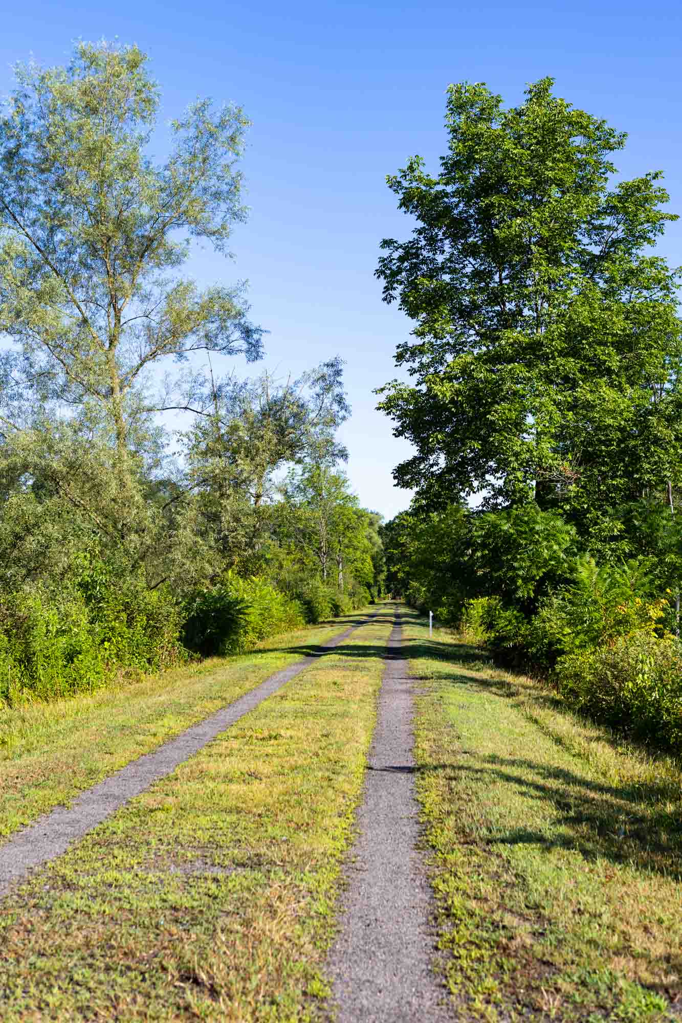
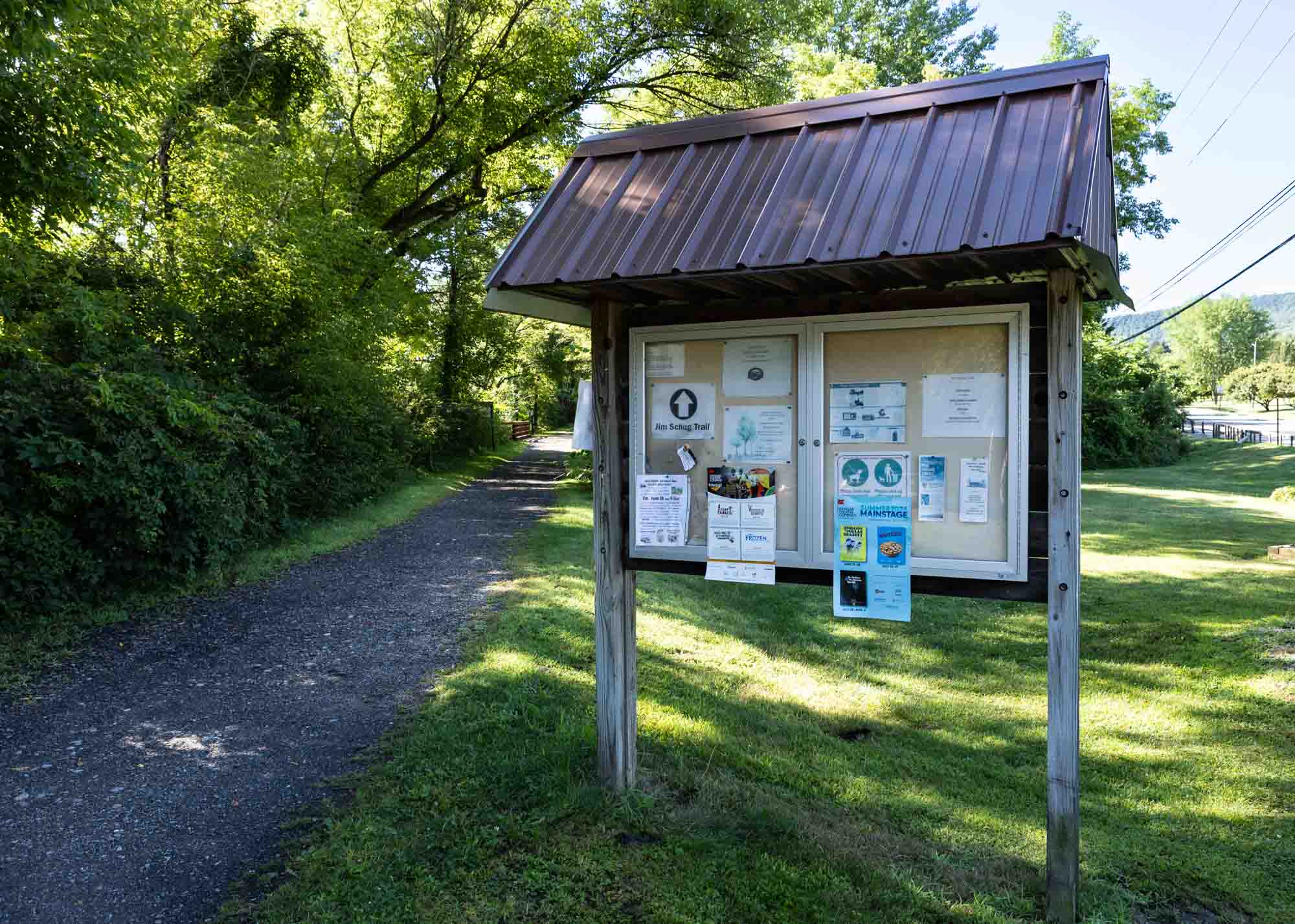
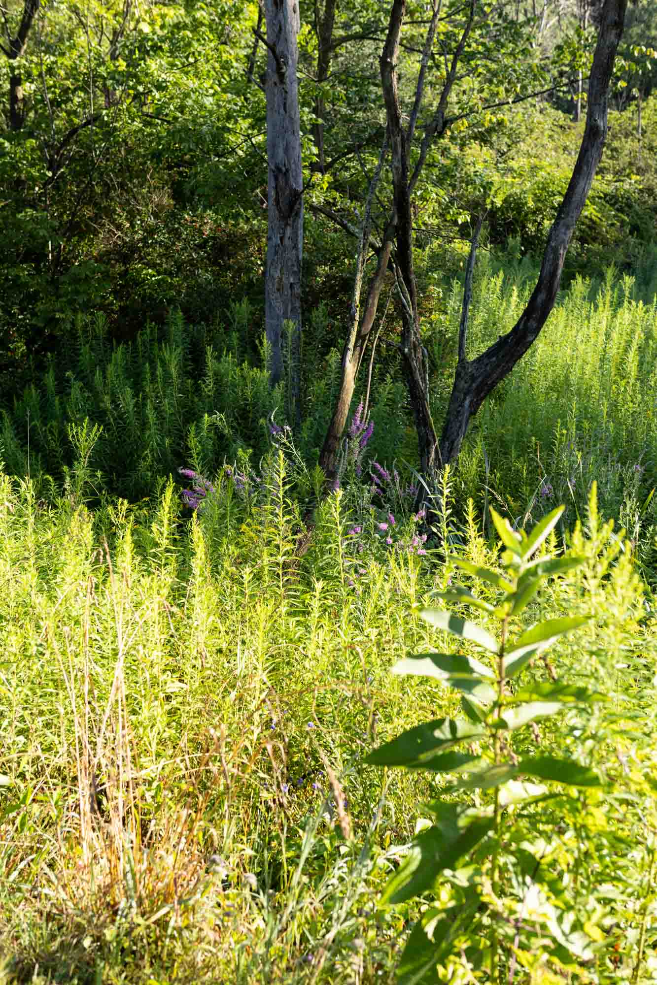
The Dryden Rail Trail is a 10-mile, multi-use trail that is both a recreational trail and a commuter route that spans across the Town of Dryden. The trail was historically part of the Lehigh Railroad system, but now welcomes pedestrians, bicycles, and horses within scenic natural settings. Numerous activities can be enjoyed, including hiking, jogging, birdwatching, horseback riding, and bicycling along a quiet green corridor. In the winter, the trail is not maintained, affording additional opportunities for skiing and snowshoeing. The Dryden Rail Trail passes through residential, rural, and protected natural lands, as well as through the villages of Dryden and Freeville, and the hamlets of Etna and Varna.

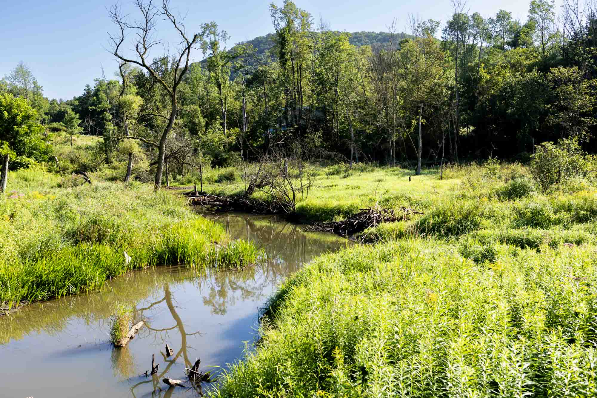
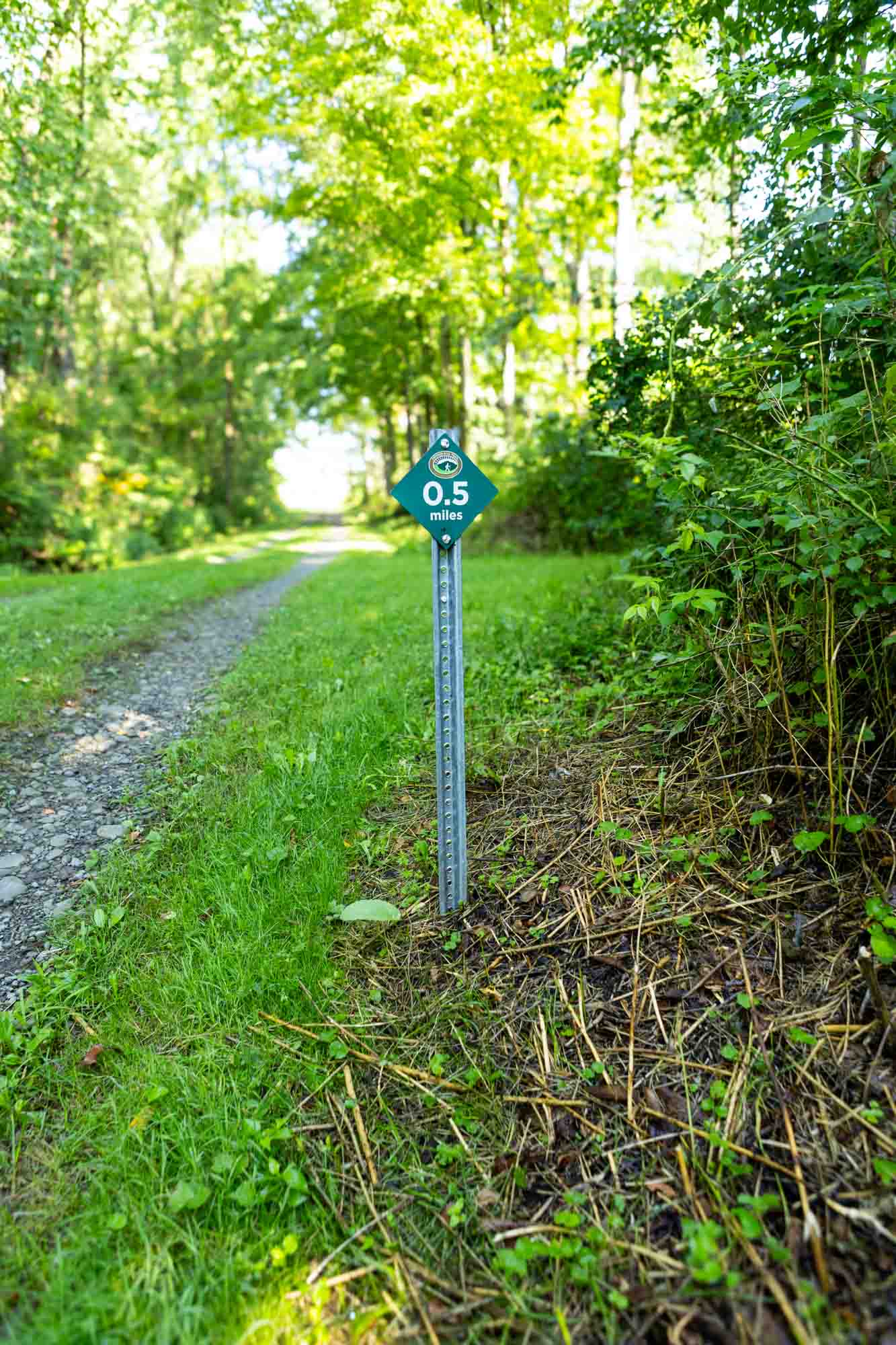
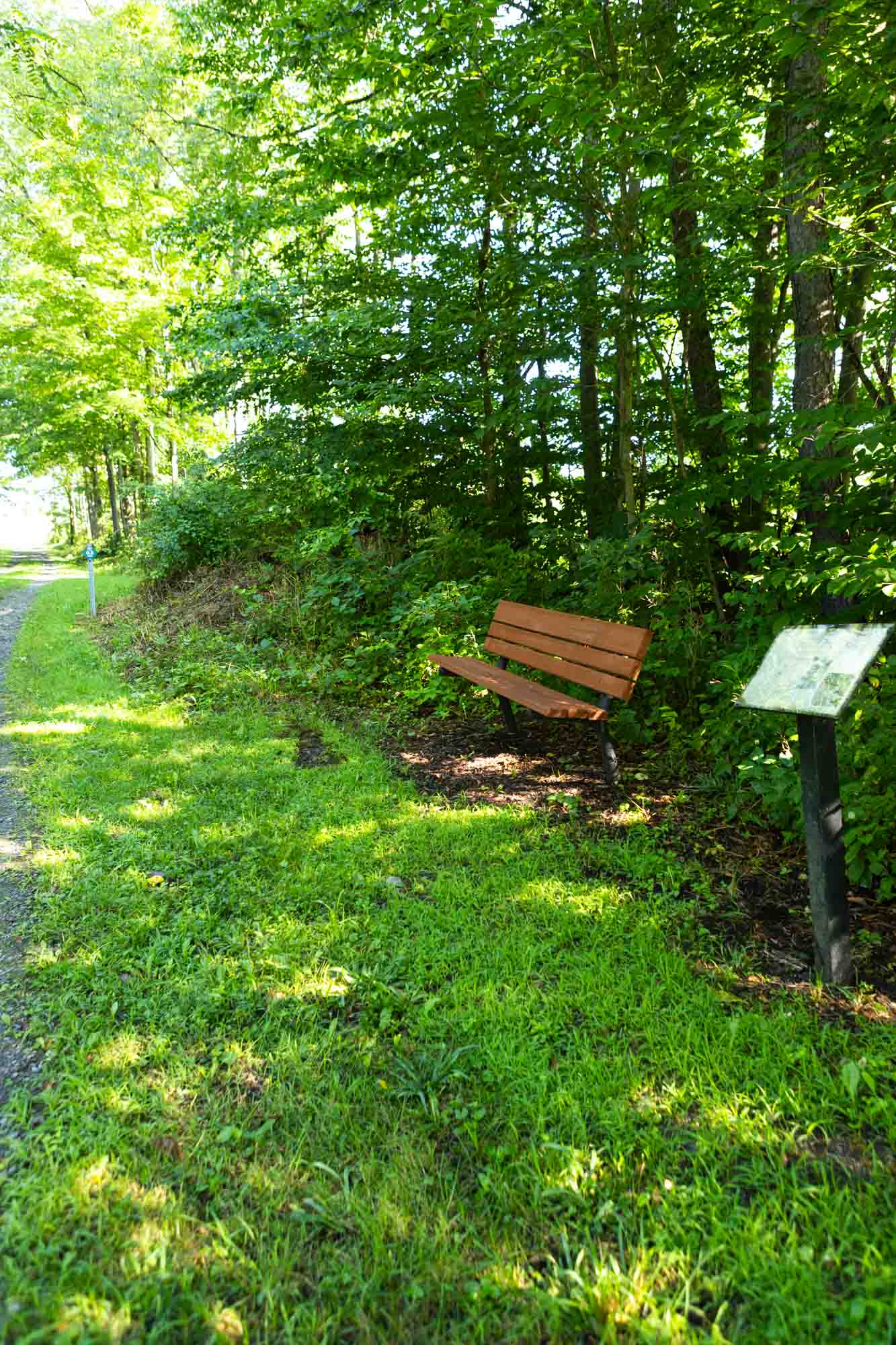
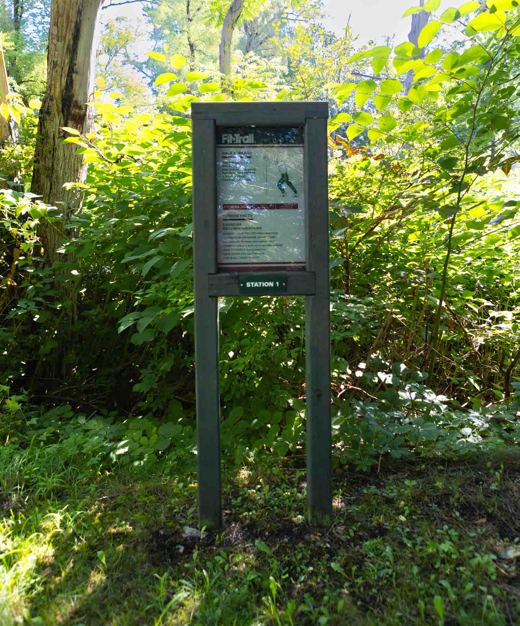
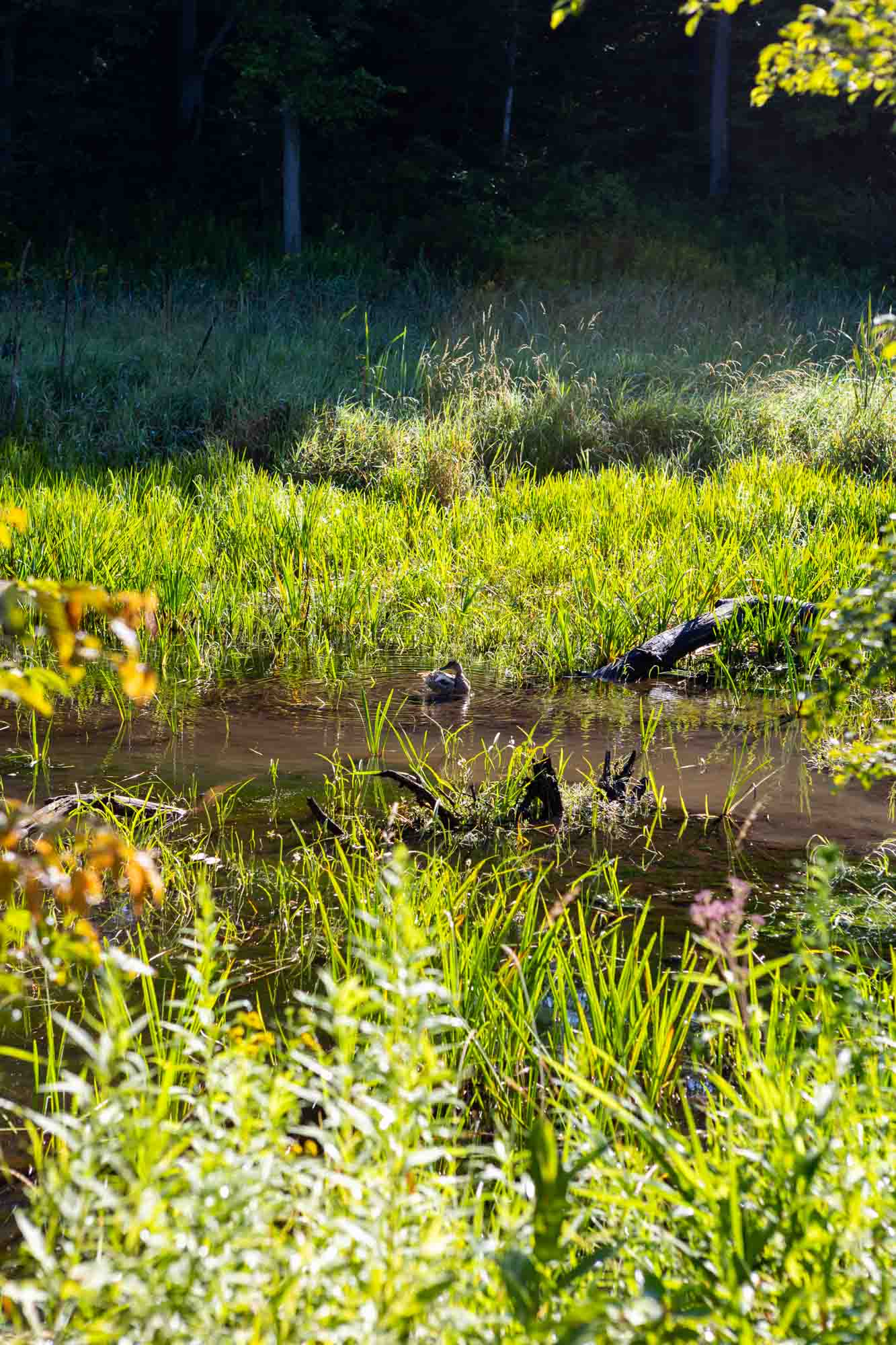
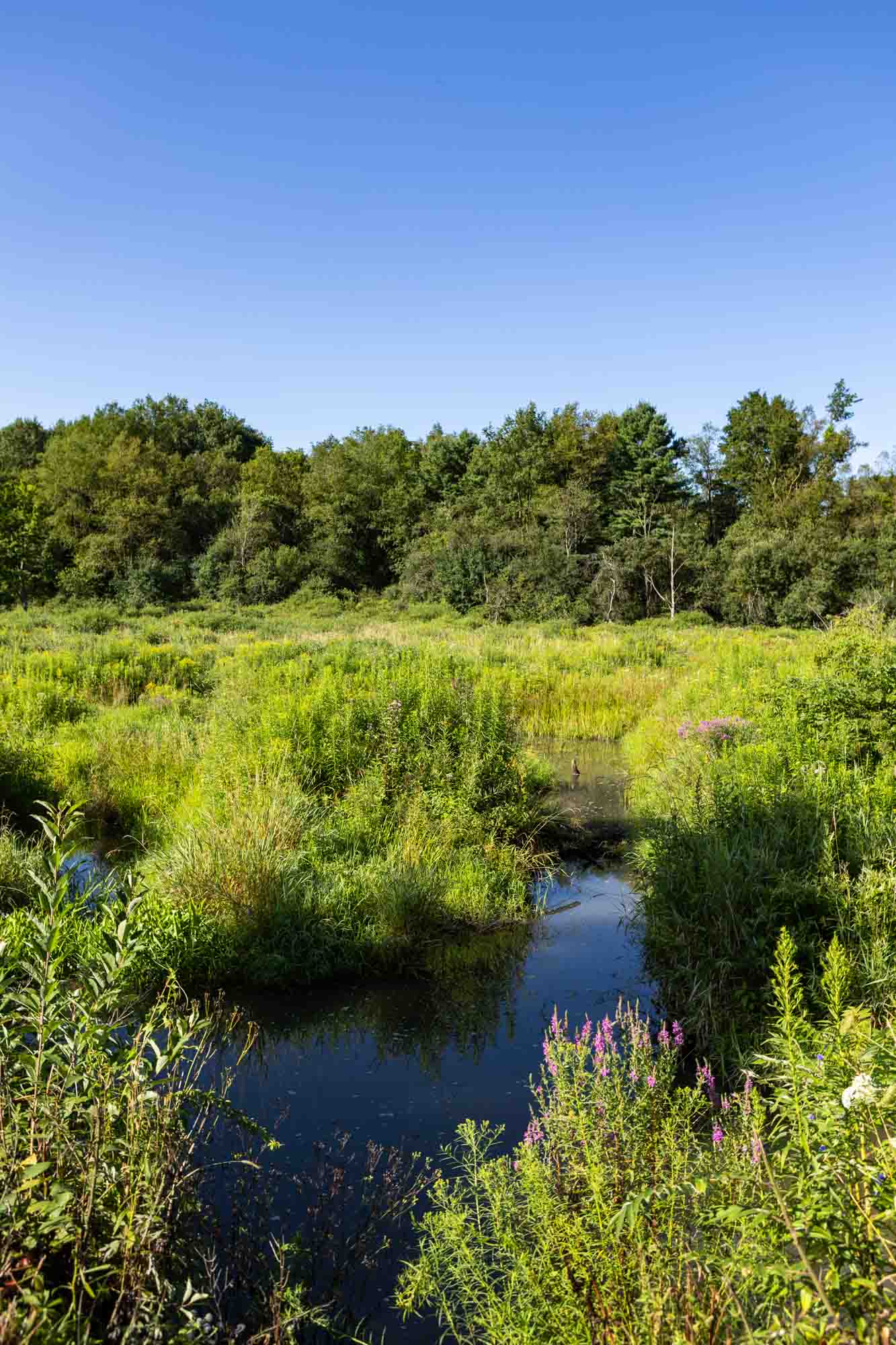
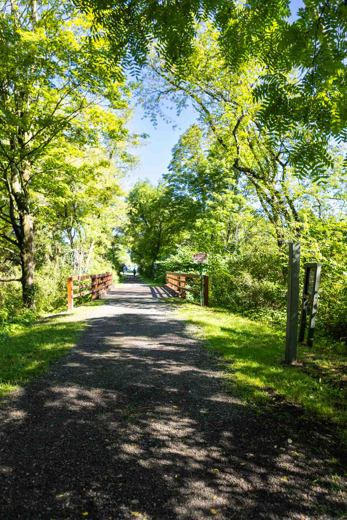
Presently, the trail is open along two main sections. The eastern section connects the Village of Freeville to the Village of Dryden, and then continues south to Dryden Lake and beyond to Purvis Road where it connects to the Finger Lakes Trail. Benches every half mile provide rest stops and interpretive signs mark natural and historical features. Dryden Lake Park provides rest rooms, fishing, and picnic shelters. The trail also passes through Cornell Botanic Gardens Purvis Road Wetlands Natural Area, which contains active beaver dams and various wetland habitats, making it an ideal site for wildlife viewing, particularly for migrant and wetland birds. The western section’s terminus is currently at Route 13 and runs towards Game Farm Road. Here it crosses two refurbished historic railroad trestles before meeting the paved East Ithaca Recreation Way, which leads to the Cornell University Campus and Ithaca.

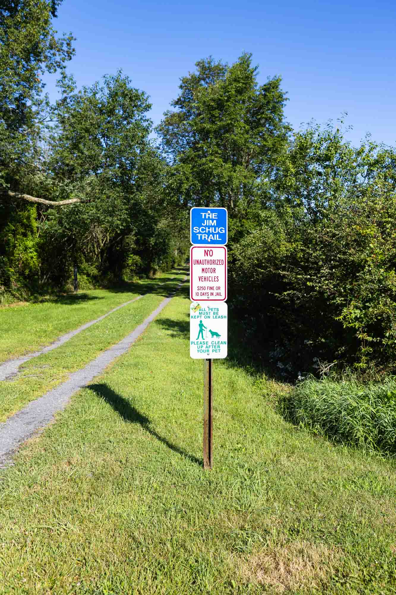
The Town of Dryden intends to connect the two sections, and when fully complete, the DRT will be 14.5 miles, including the 4+ already completed miles in what we call the Jim Schug trail section. As a multi-use trail, it is set apart from Dryden’s many recreational trails by this distinguishing feature – in addition to encouraging recreational enjoyment, it will provide a continuous cross-town route for off-road alternative transportation. This community project will ultimately connect Dryden, its communities, businesses, schools, and parks to each other, and to other parts of the county, in a unique and sustainable way.
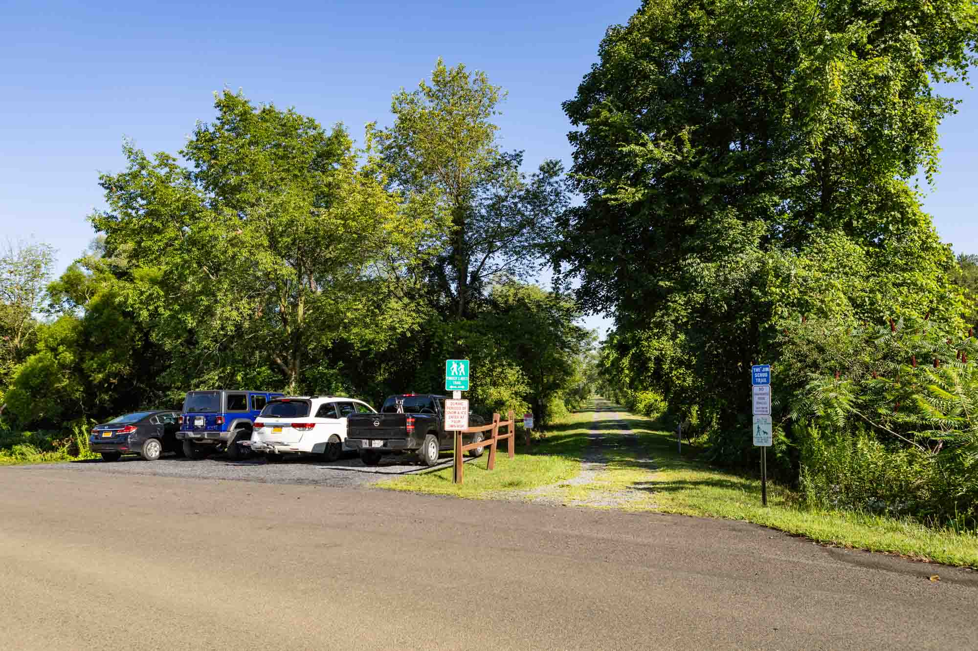
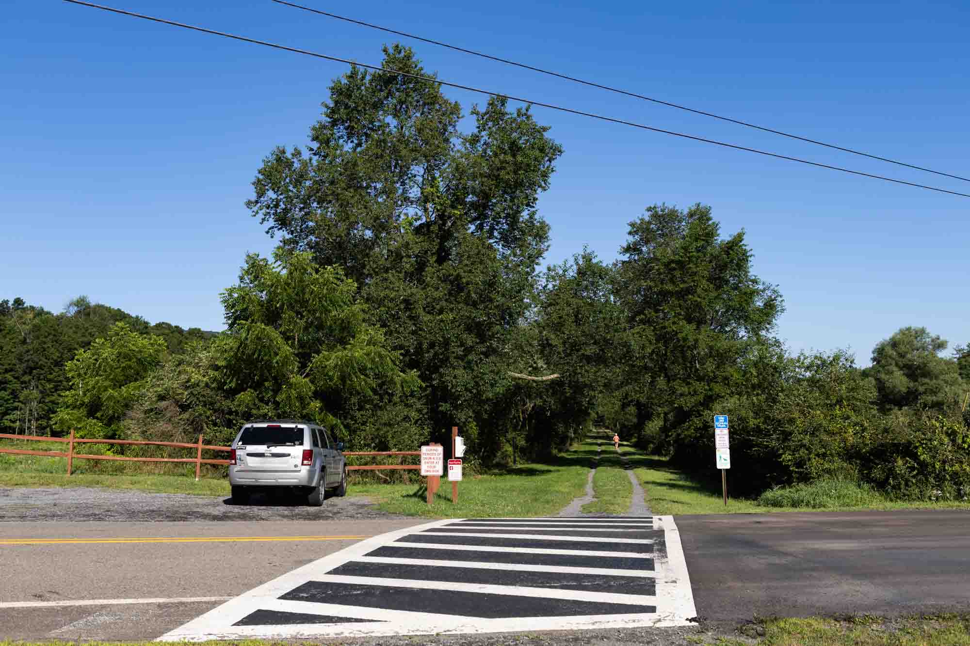
White hiking boot on a brown circular background, symbolizing hiking or walking trails.
Hiking
White standard bicycle on a light blue circular background, denoting cycling or bike trails.
Biking
White electric bicycle with a lightning bolt above it on a green circular background, representing e-bike use.
e-Biking
White outline of a horseshoe centered on a gold circular background, symbolizing horseback riding.
Horse
White icon of a person running with motion lines on a dark blue circular background, symbolizing physical activity or trail use.
running
White icon of a kayak with a double-bladed paddle on a brown circular background, representing paddling or kayaking.
Paddling
White crossed skis and ski poles on a light blue circular background, indicating winter sports or skiing.
Skiing
White outline of two crisscrossed snowshoes on a green circular background, representing snowshoeing activity.
Snowshoe
Distance // 0 Miles
Difficulty // Easy

    Parking Locations

    Purvis Bog Trail
    Get Directions

    Jim Schug Trail George Rd
    Get Directions

    Bus Stops

    • Main @ Rochester - Get Directions

      Bus stop is at trailhead

    • 1062 Dryden Rd - Pineridge Apts - Get Directions

      Enter Apts parking lot, follow sidewalk of left (west) building; descend steps between buildings to the Dryden Rail Trail.

    • Dryden Rd @ Turkey Hill - Get Directions

      Go north on Monkey Run Rd 700 ft to intersection with Dryden Rail Trail.

    • Keith at Jim Schug Trail - Get Directions

      Trail continues both north & south from bus stop.

    • Rte 38 @ Fall Creek Rd - Get Directions

      Go SE on Railroad St for 800 ft, turn left on DPW Rd.

    • South @ Ferguson - Get Directions

      Cross South St (Rt 38) onto Weber St. Continue 50 ft to intersection with trail.

    Purvis Bog Trail
    Get Directions

    Jim Schug Trail George Rd
    Get Directions

    • Main @ Rochester - Get Directions

      Bus stop is at trailhead

    • 1062 Dryden Rd - Pineridge Apts - Get Directions

      Enter Apts parking lot, follow sidewalk of left (west) building; descend steps between buildings to the Dryden Rail Trail.

    • Dryden Rd @ Turkey Hill - Get Directions

      Go north on Monkey Run Rd 700 ft to intersection with Dryden Rail Trail.

    • Keith at Jim Schug Trail - Get Directions

      Trail continues both north & south from bus stop.

    • Rte 38 @ Fall Creek Rd - Get Directions

      Go SE on Railroad St for 800 ft, turn left on DPW Rd.

    • South @ Ferguson - Get Directions

      Cross South St (Rt 38) onto Weber St. Continue 50 ft to intersection with trail.

    Trails. Views. Adventure. Ithaca.

    Report a Problem

    Send Us Your Photos

    Current Trail Alerts

    Roy H. Park Preserve

    • The north entrance to the Roy H. Park Preserve and the boardwalk will be closed to the public from Monday, July 7, through September 2025 as work is underway to install an ADA-accessible path. The south entrance will remain open during this time. Thank you for your patience.

    Fall Creek Gorge Natural Area

    • The section of trail in Fall Creek Gorge west of the suspension bridge to Chi Psi is unstable and closed until further notice.

    Cascadilla Gorge Natural Area

    • A portion of the Cascadilla Gorge Trail between Stewart Avenue and College Avenue will be closed from June 10, 2025 to early September 2025. The trail between Linn Street (Treman Triangle) up to the Stewart Avenue Bridge is now open.

    Beebe Lake Natural Area

    • Hemlock Gorge trail upstream of Sackett Bridge is closed.

    Black Diamond Trail

    • Starting September 2, 2025 park staff will be performing trail maintenance on the Black Diamond Trail between Perry City Road and Garrett Road. Sections of the trail will be intermittently closed between the hours of 8:00 a.m. – 5:00 p.m. Monday – Thursday. Please use alternate routes during that time. The work is expected to last several weeks.