Trail Alerts // Hunting seasons have opened in parts of Tompkins County.
Wear blaze orange in areas where hunting is allowed. Check for the latest trail alerts before you go. See All Trail Alerts

Edwards Lake Cliffs Natural Area

Difficulty // Easy, Moderate, Difficult
Activities // Hiking, Snowshoeing
Distance // 1.8 miles
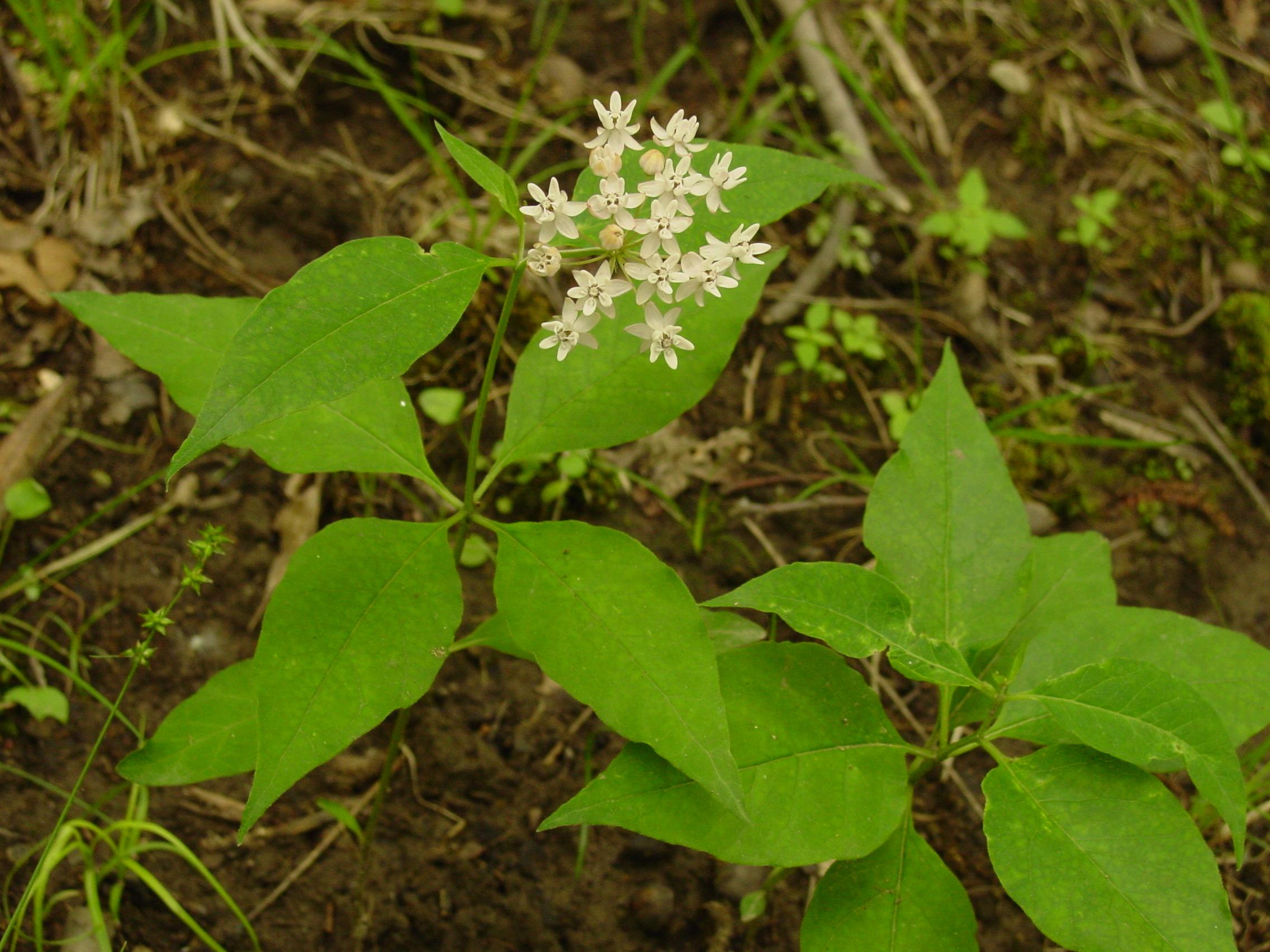
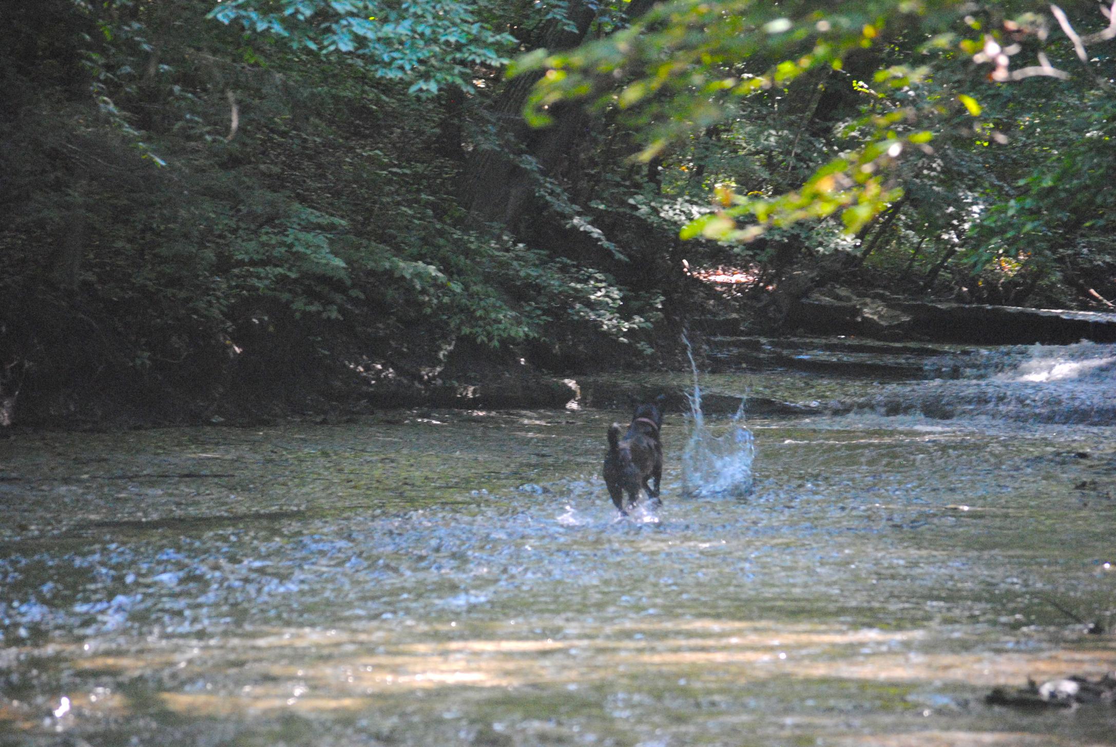
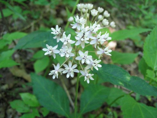
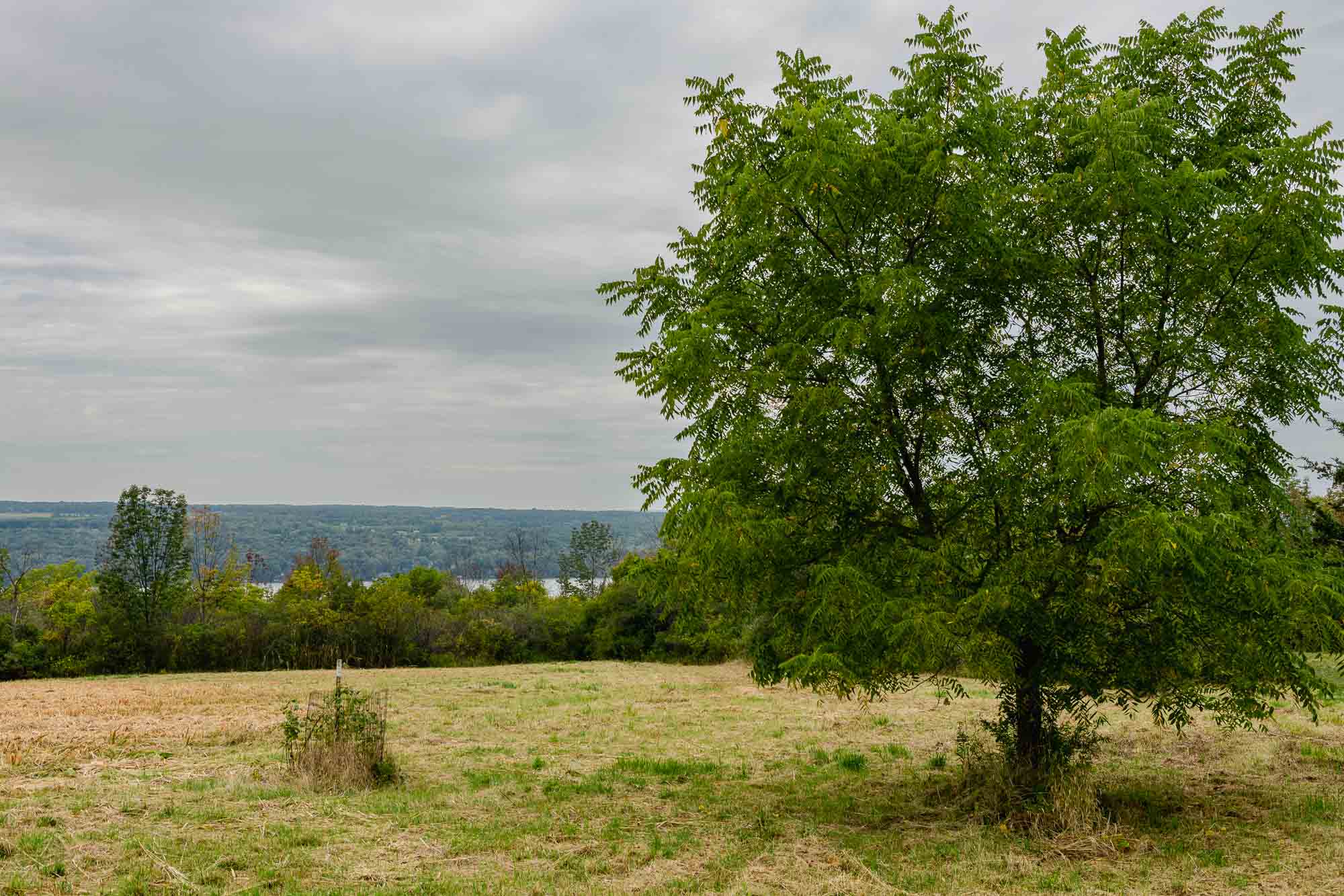
Features // Lakes visible, Scenic vistas, Waterfalls & Gorges, Unique wildlife viewing, Dog-friendly (on leash), Bus Stop Nearby
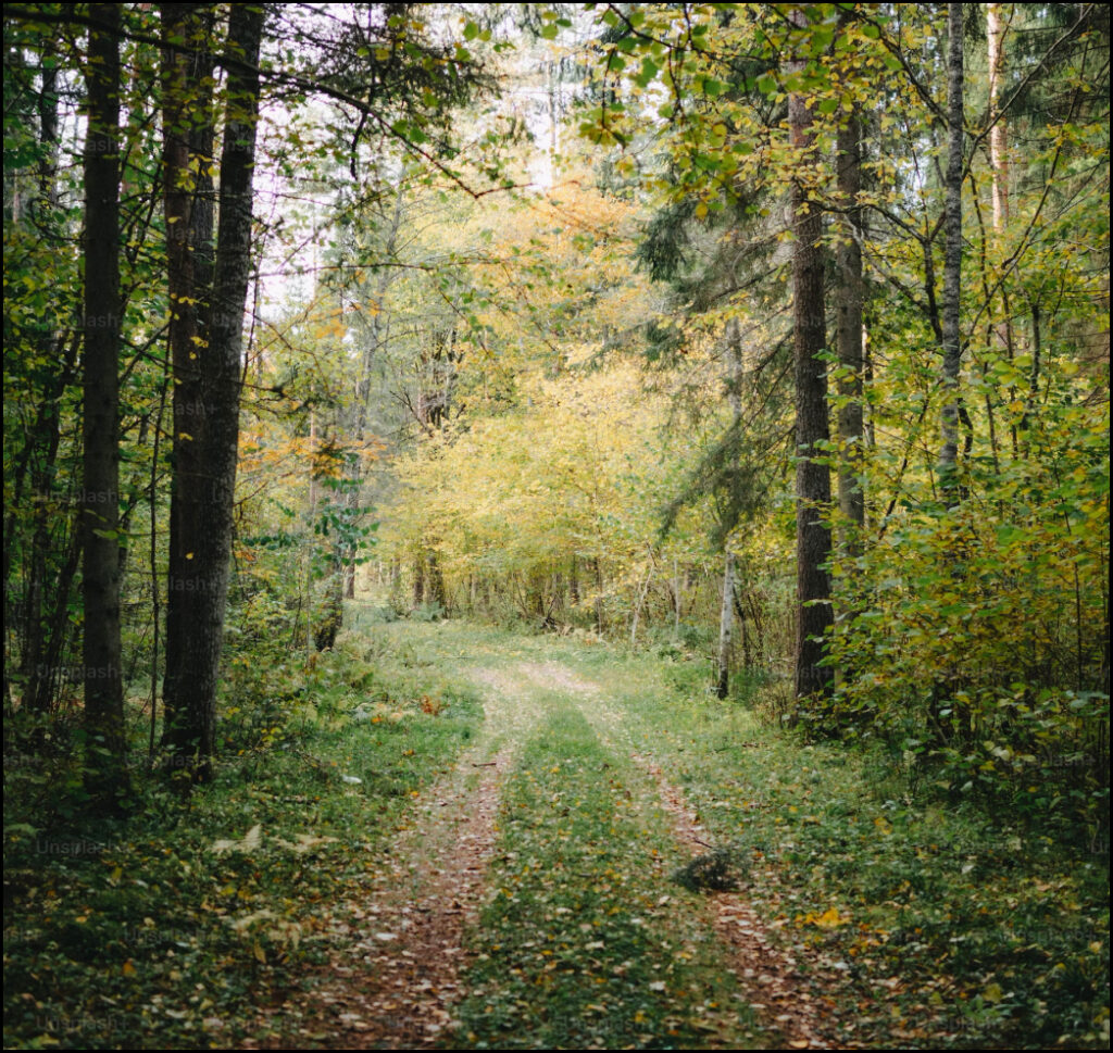
Route Type // Loop
Estimated hiking time // 43 mins
Not open year-round.
Hunting allowed, use caution.
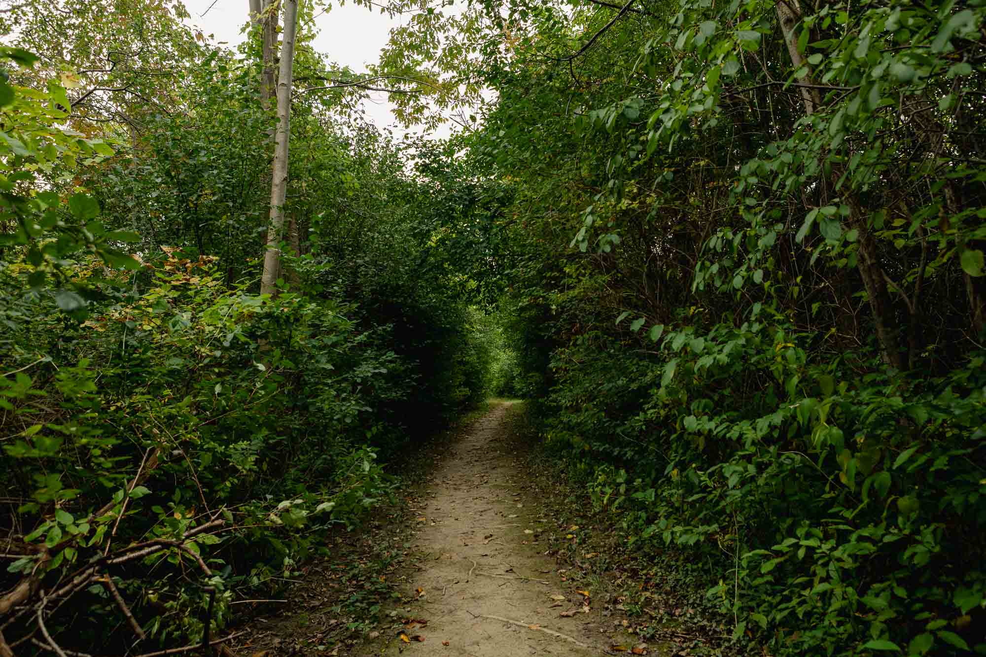
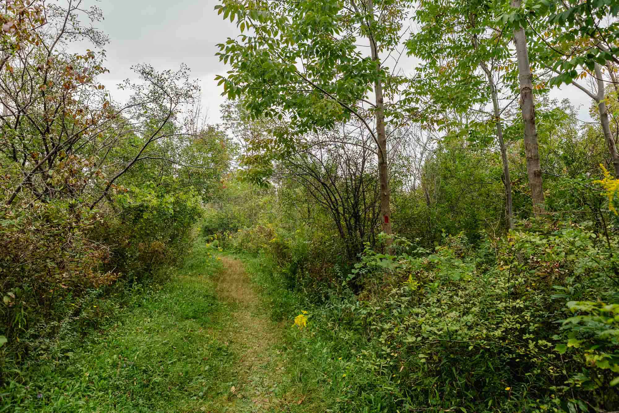
Surface types // Earth
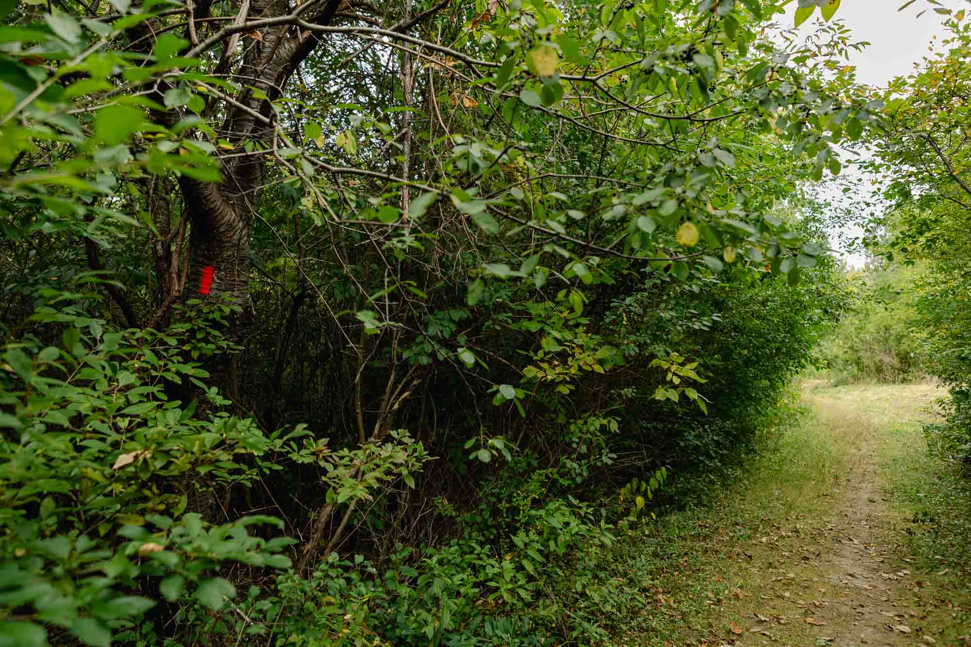
Trail markers // red blaze, blue blaze, yellow blaze

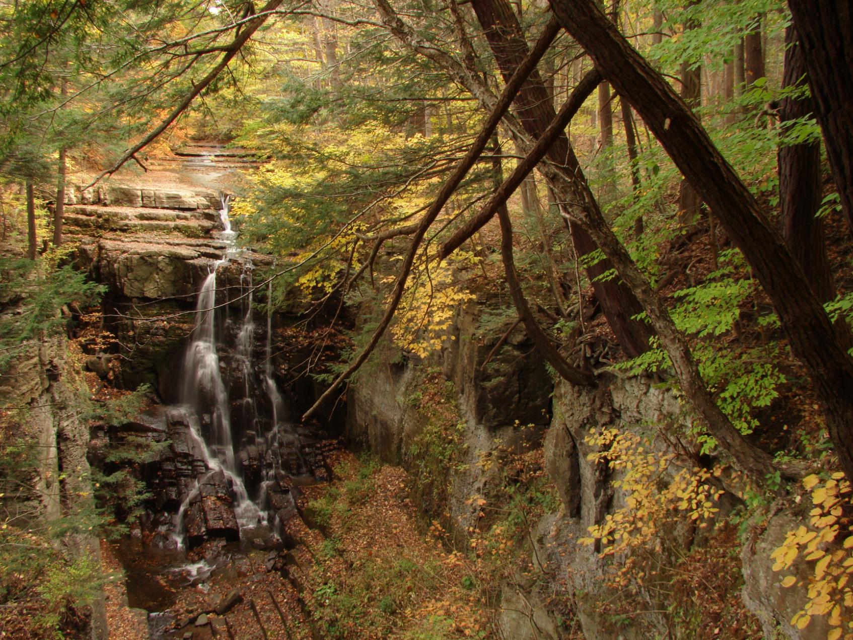
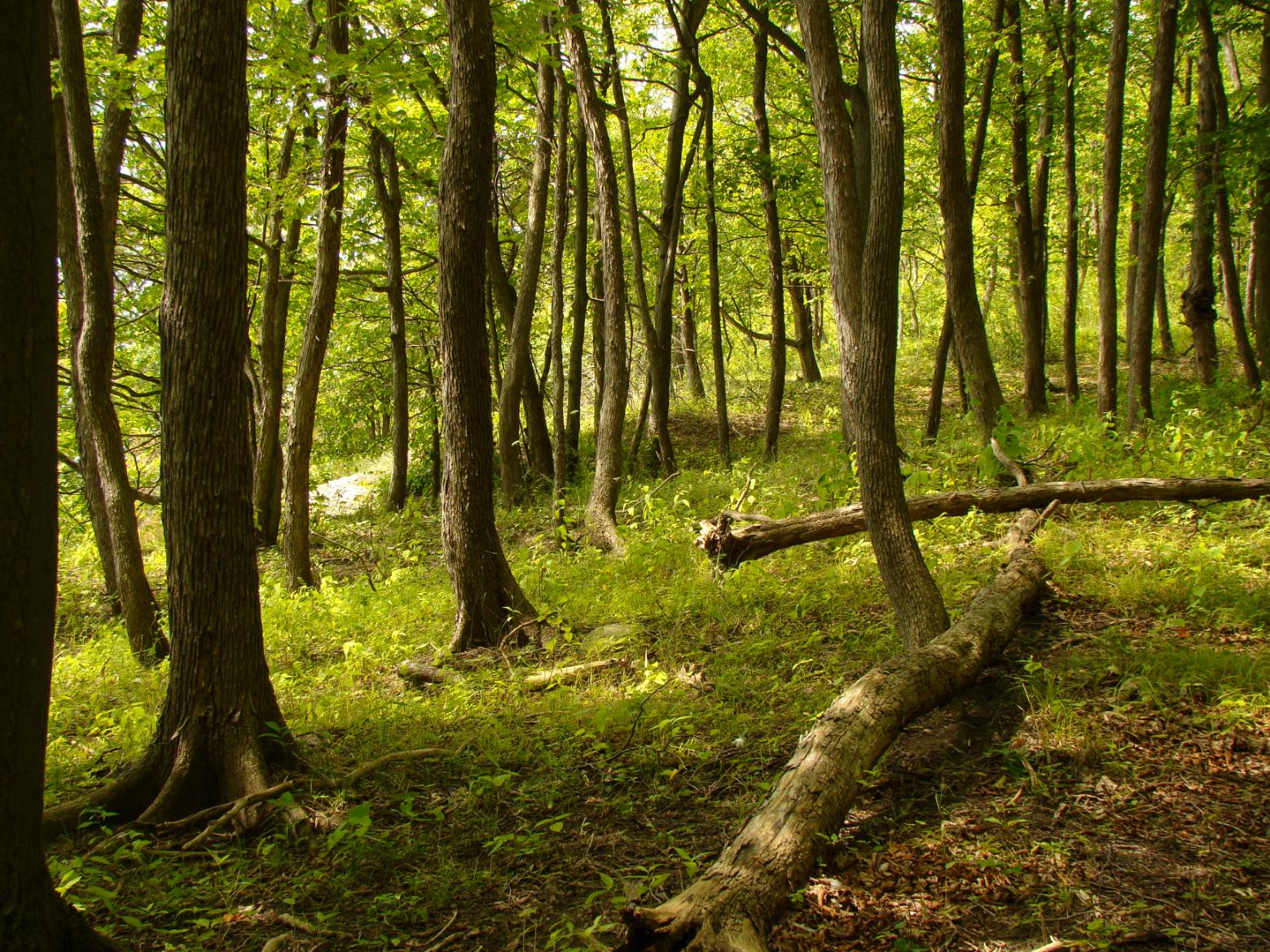
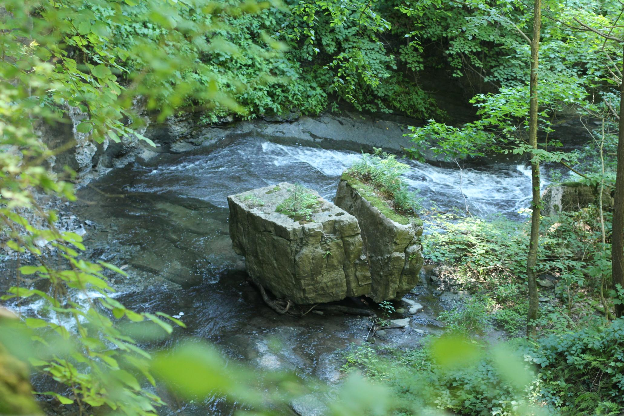
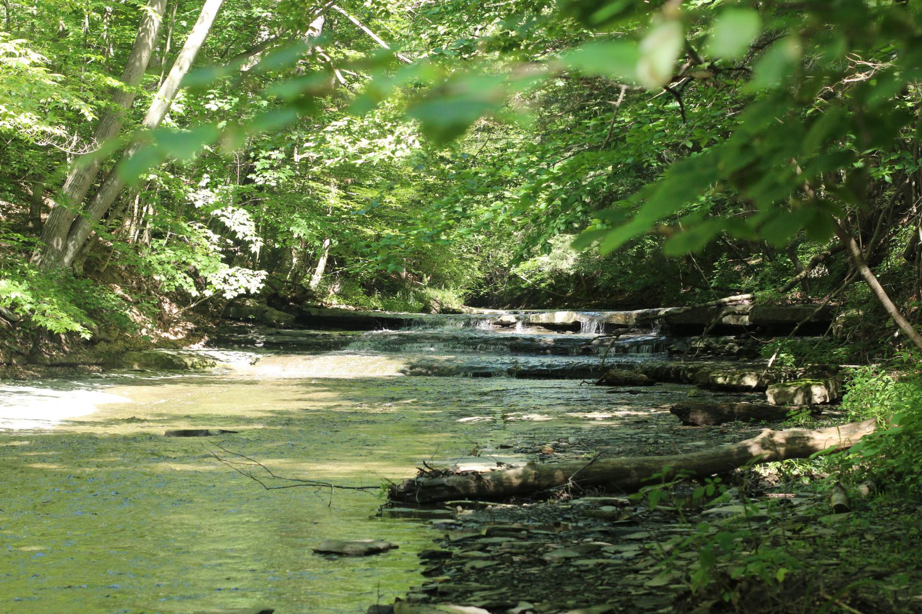
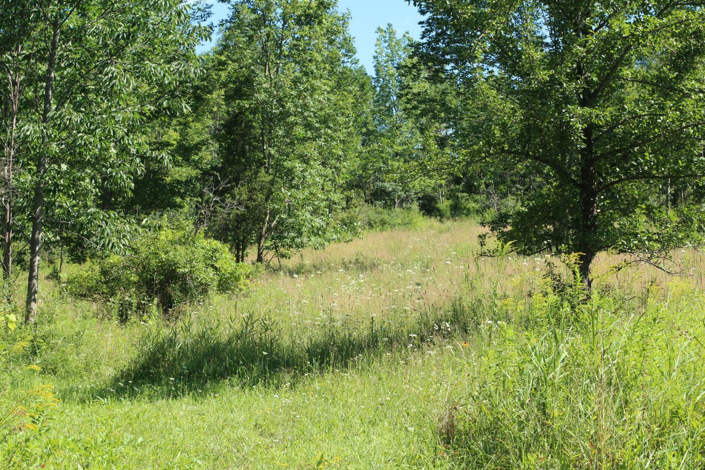
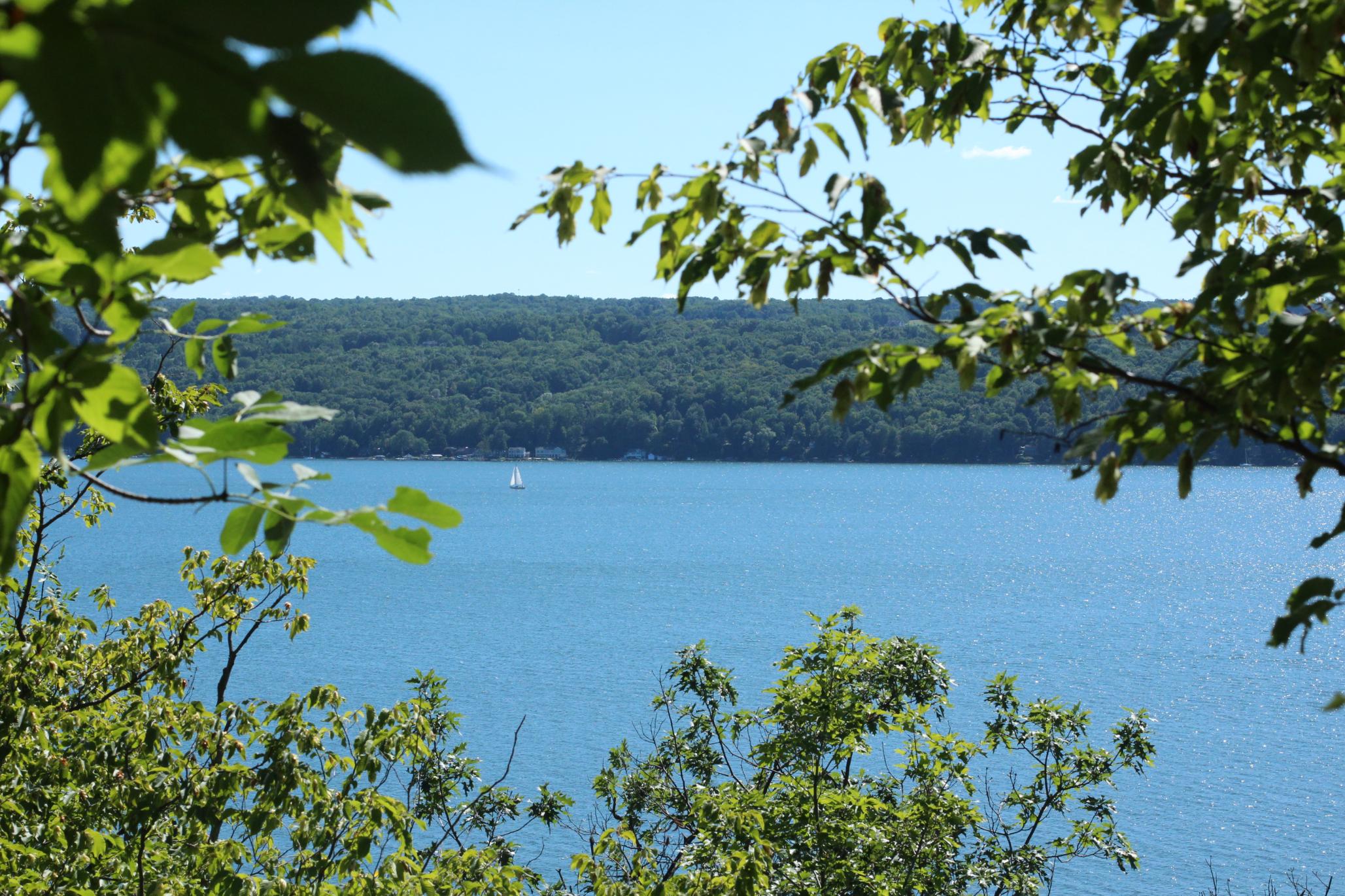
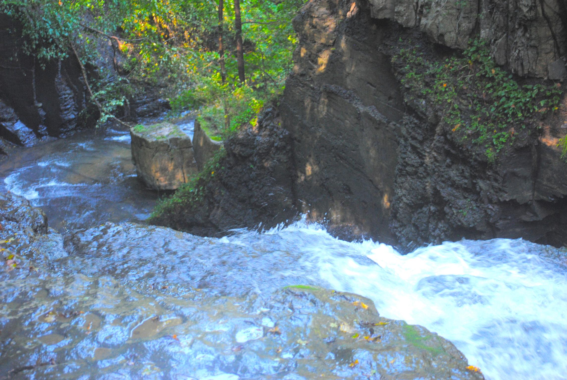
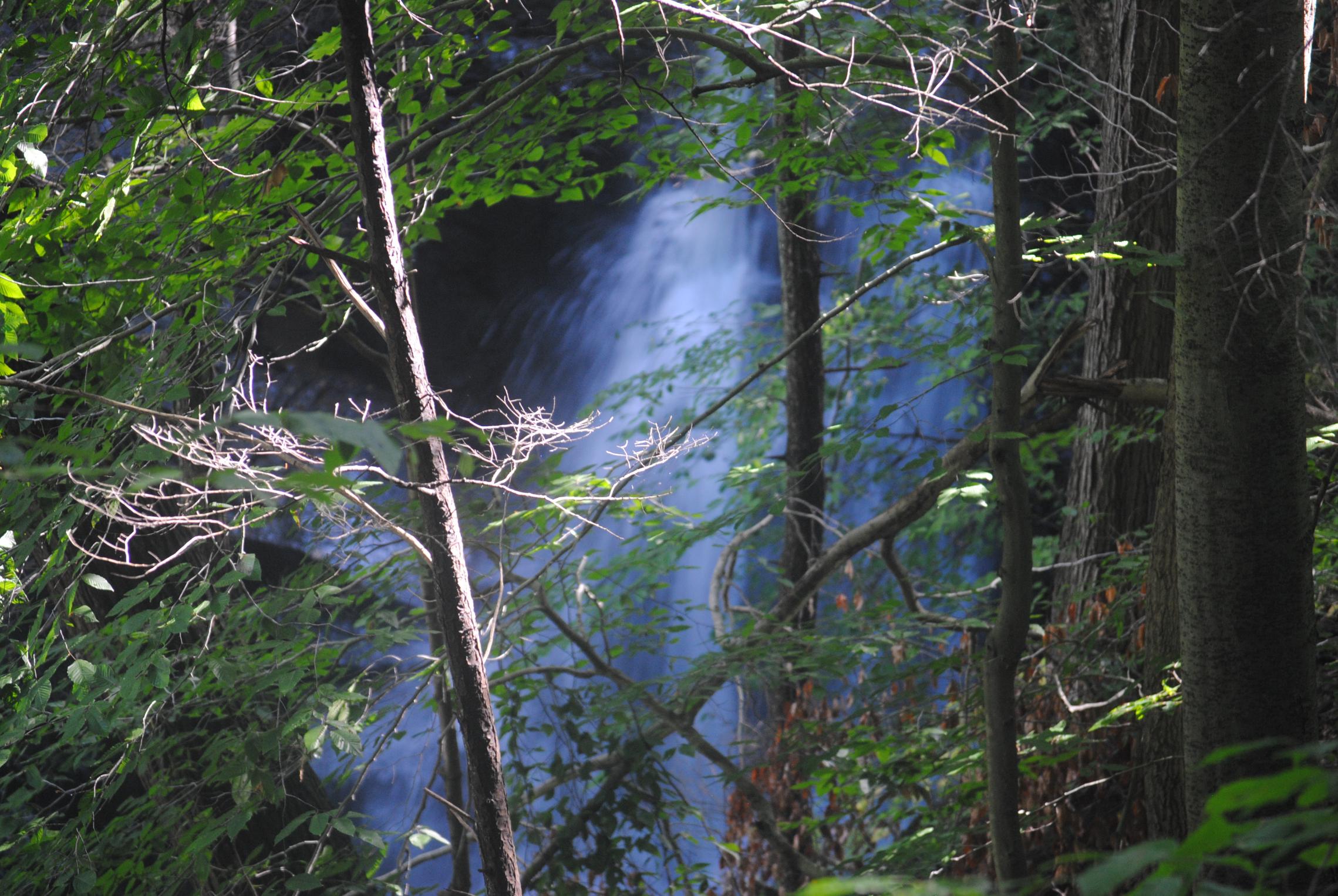
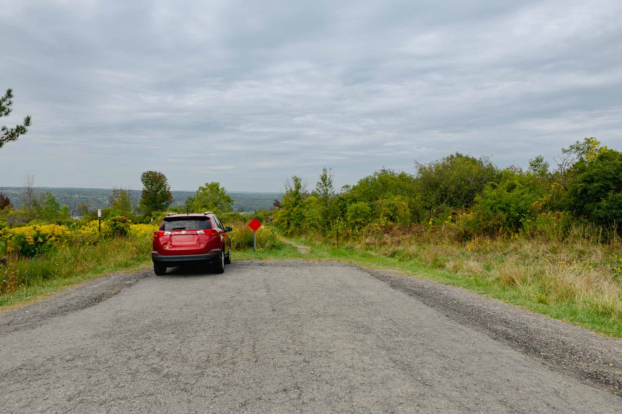
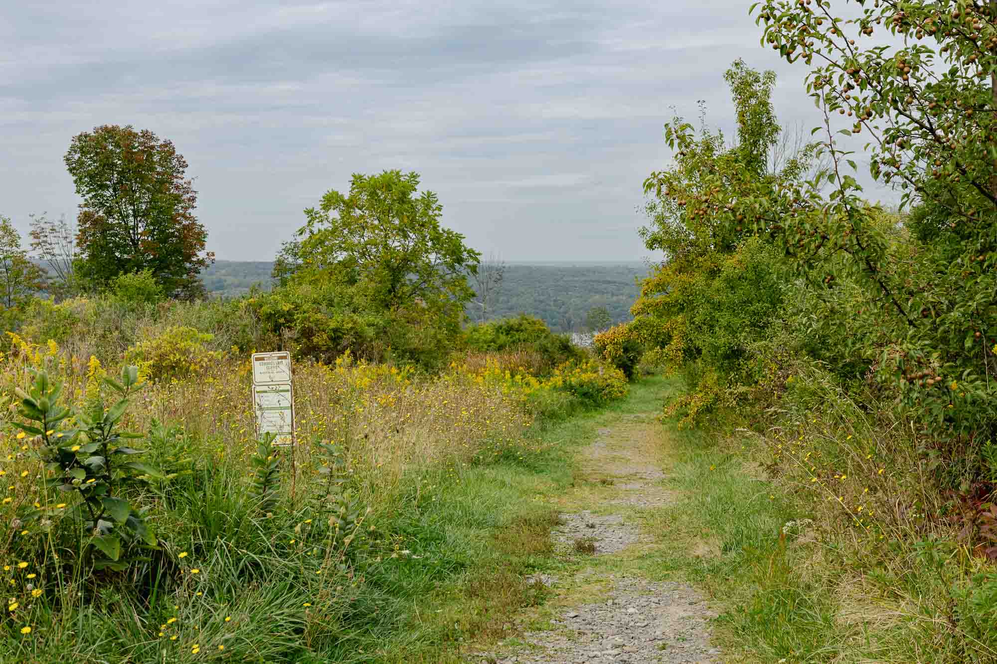
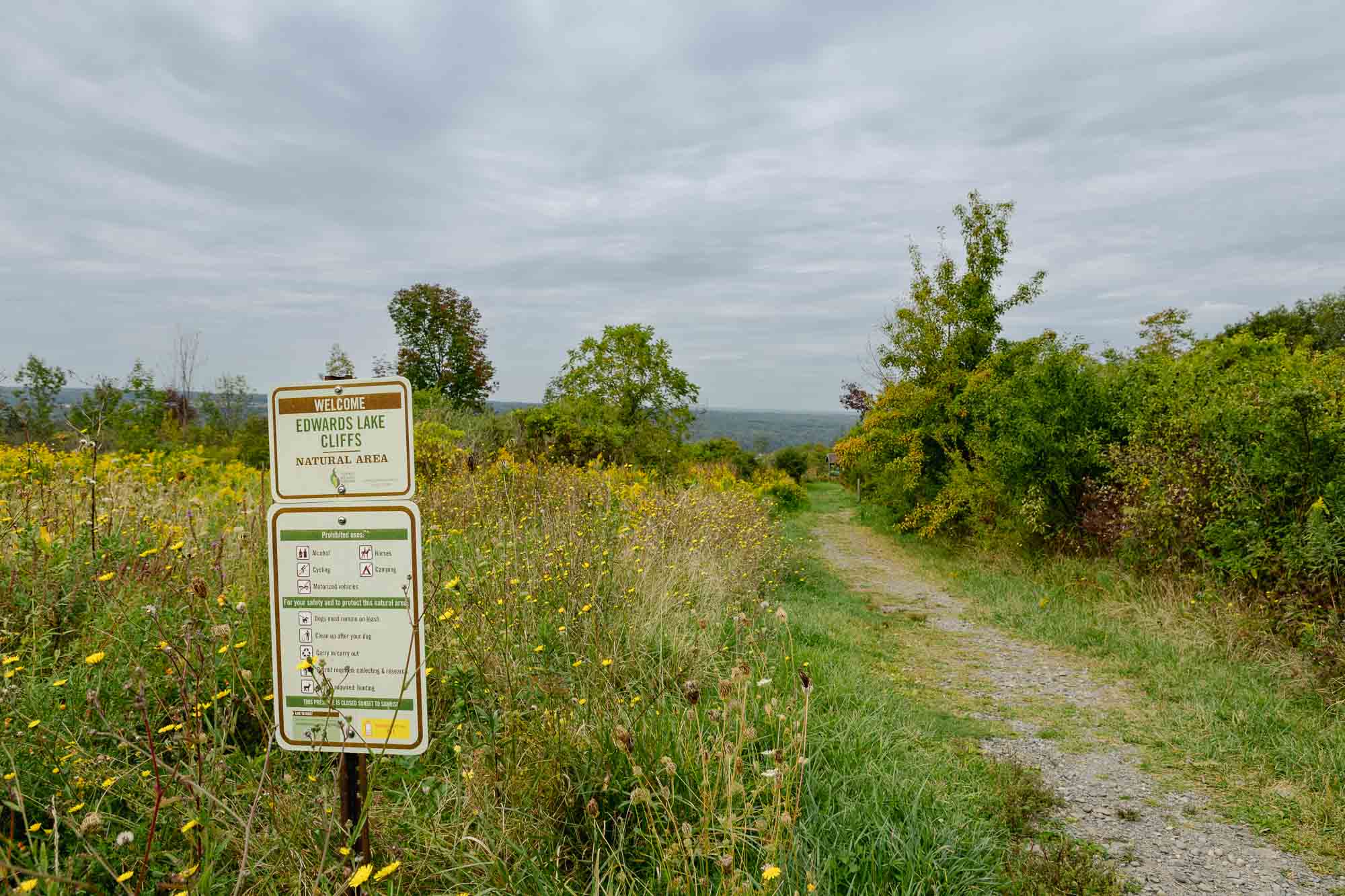
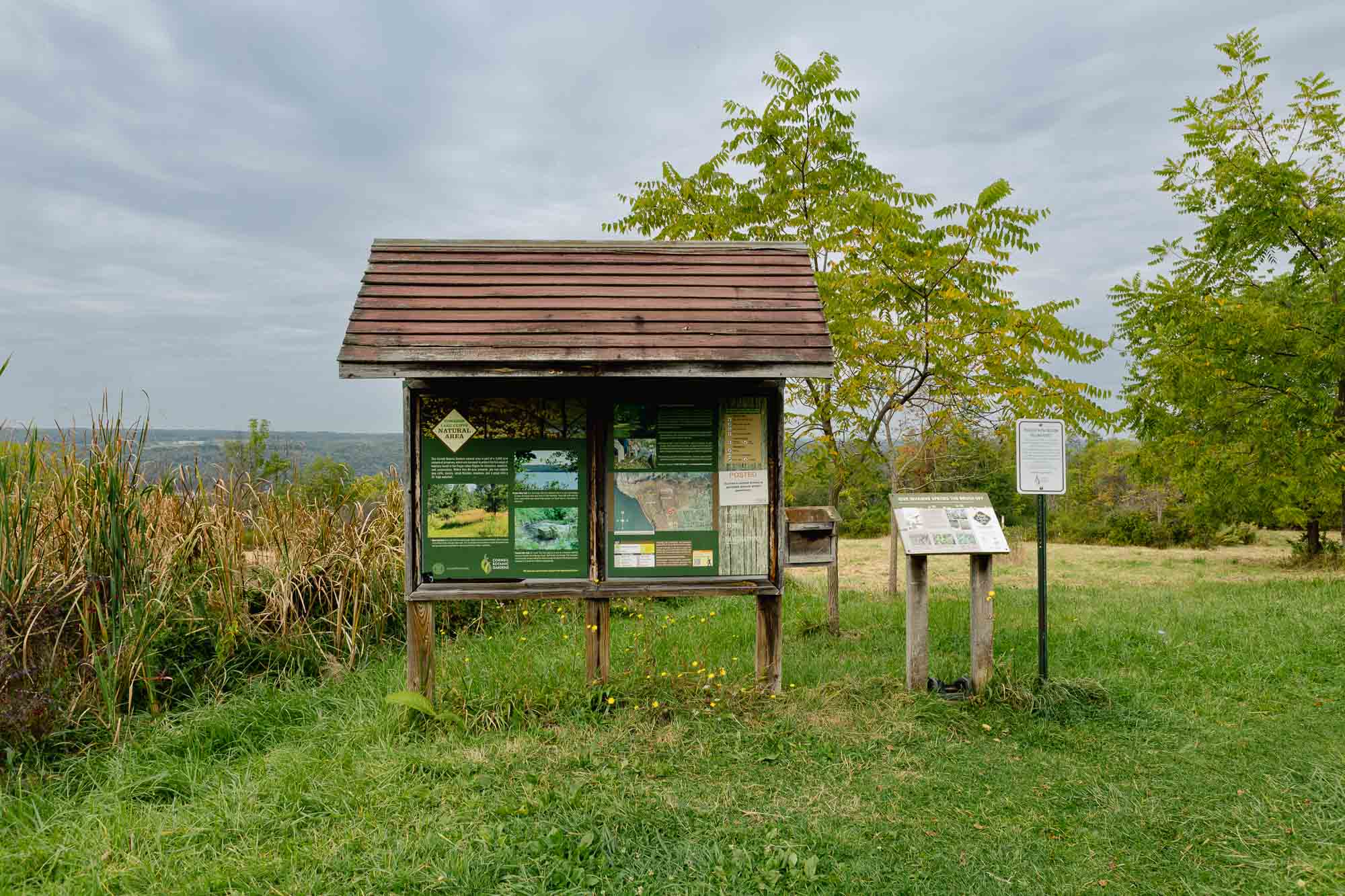
Within the 84-acre Cornell Botanic Gardens Edwards Lake Cliffs Natural Area, trails bring visitors to scenic views of Cayuga Lake, a gorge and waterfall. The Lake View Trail leads to an expansive view of the lake atop cliffs of Tully Limestone. These lake cliffs and the specialized plant communities they support are found only in a few places in the region. The Pocket Falls Trail leads to a view of a 35-foot waterfall from the forested rim of Shurger Glen. The main Loop Trail takes visitors through younger forest, shrub thickets and meadows.

White hiking boot on a brown circular background, symbolizing hiking or walking trails.
Hiking
White standard bicycle on a light blue circular background, denoting cycling or bike trails.
Biking
White electric bicycle with a lightning bolt above it on a green circular background, representing e-bike use.
e-Biking
White outline of a horseshoe centered on a gold circular background, symbolizing horseback riding.
Horse
White icon of a person running with motion lines on a dark blue circular background, symbolizing physical activity or trail use.
running
White icon of a kayak with a double-bladed paddle on a brown circular background, representing paddling or kayaking.
Paddling
White crossed skis and ski poles on a light blue circular background, indicating winter sports or skiing.
Skiing
White outline of two crisscrossed snowshoes on a green circular background, representing snowshoeing activity.
Snowshoe
Distance // 0 Miles
Difficulty // Easy

    Parking Locations

    Teeter Road @ Smuggler’s Path
    Get Directions

    Bus Stops

    Teeter Road @ Smuggler’s Path
    Get Directions

    Trails. Views. Adventure. Ithaca.

    Report a Problem

    Send Us Your Photos

    Current Trail Alerts

    Roy H. Park Preserve

    • The north entrance to the Roy H. Park Preserve and the boardwalk will be closed to the public from Monday, July 7, through September 2025 as work is underway to install an ADA-accessible path. The south entrance will remain open during this time. Thank you for your patience.

    Fall Creek Gorge Natural Area

    • The section of trail in Fall Creek Gorge west of the suspension bridge to Chi Psi is unstable and closed until further notice.

    Cascadilla Gorge Natural Area

    • A portion of the Cascadilla Gorge Trail between Stewart Avenue and College Avenue is closed for construction and will reopen in spring, 2026. The trail between Linn Street (Treman Triangle) up to the Stewart Avenue Bridge is now open.

    Beebe Lake Natural Area

    • Hemlock Gorge trail upstream of Sackett Bridge is closed.