Features // Scenic vistas, Unique wildlife viewing, Dog-friendly (on leash), Bus Stop Nearby, Open Year-Round
Route Type // Loop
Estimated hiking time // 1 hr 31 mins
Open year-round.
Hunting allowed, use caution.
Surface types // Earth, Pavement
Trail markers // none, orange blaze, red blaze
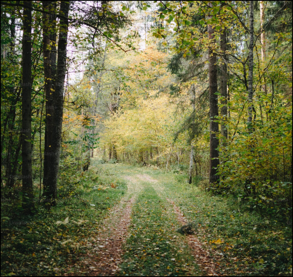
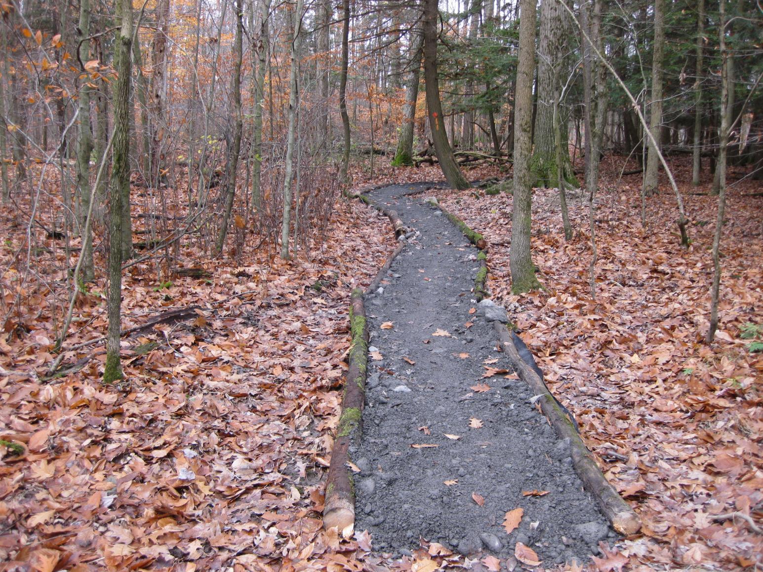
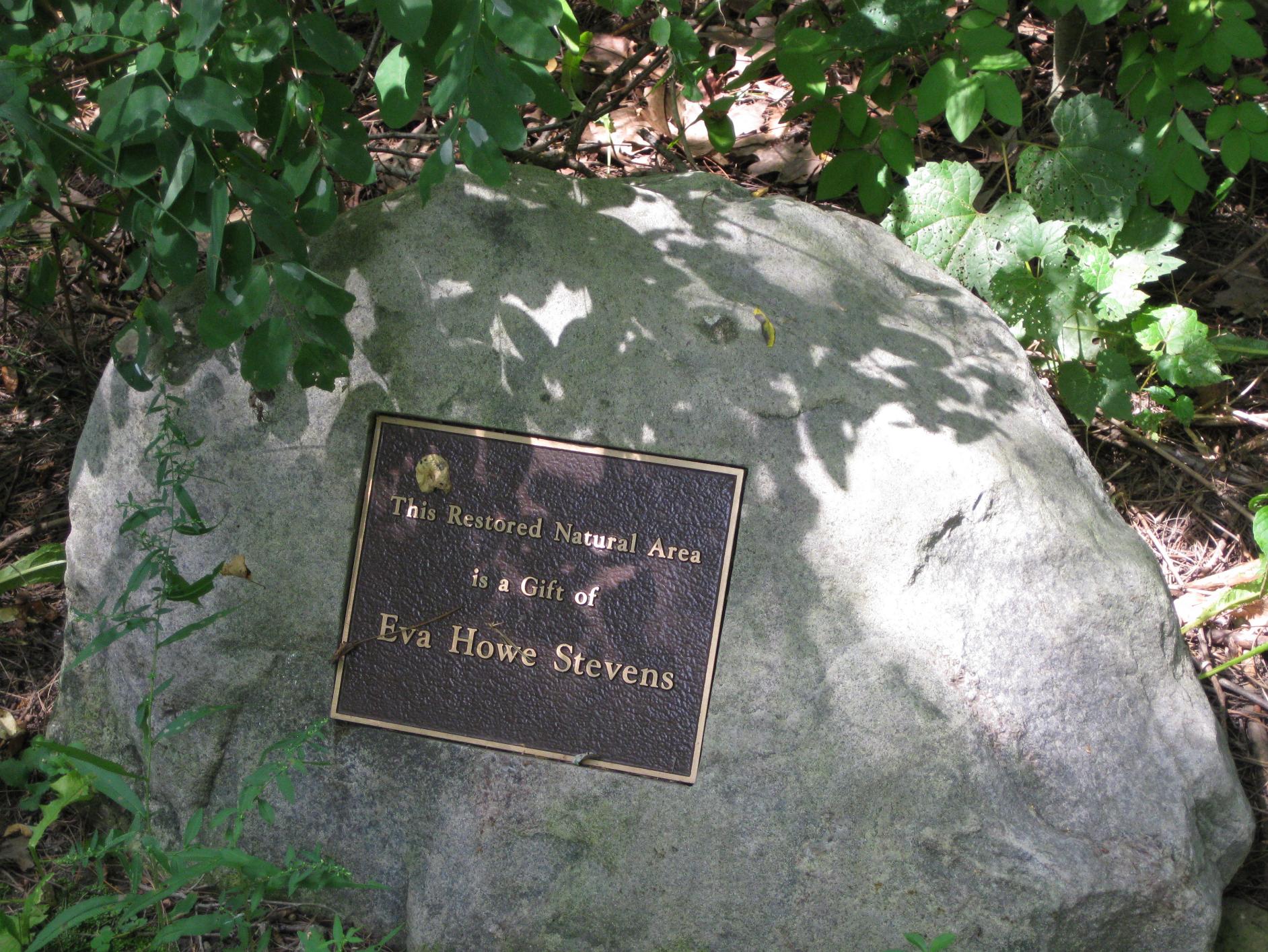
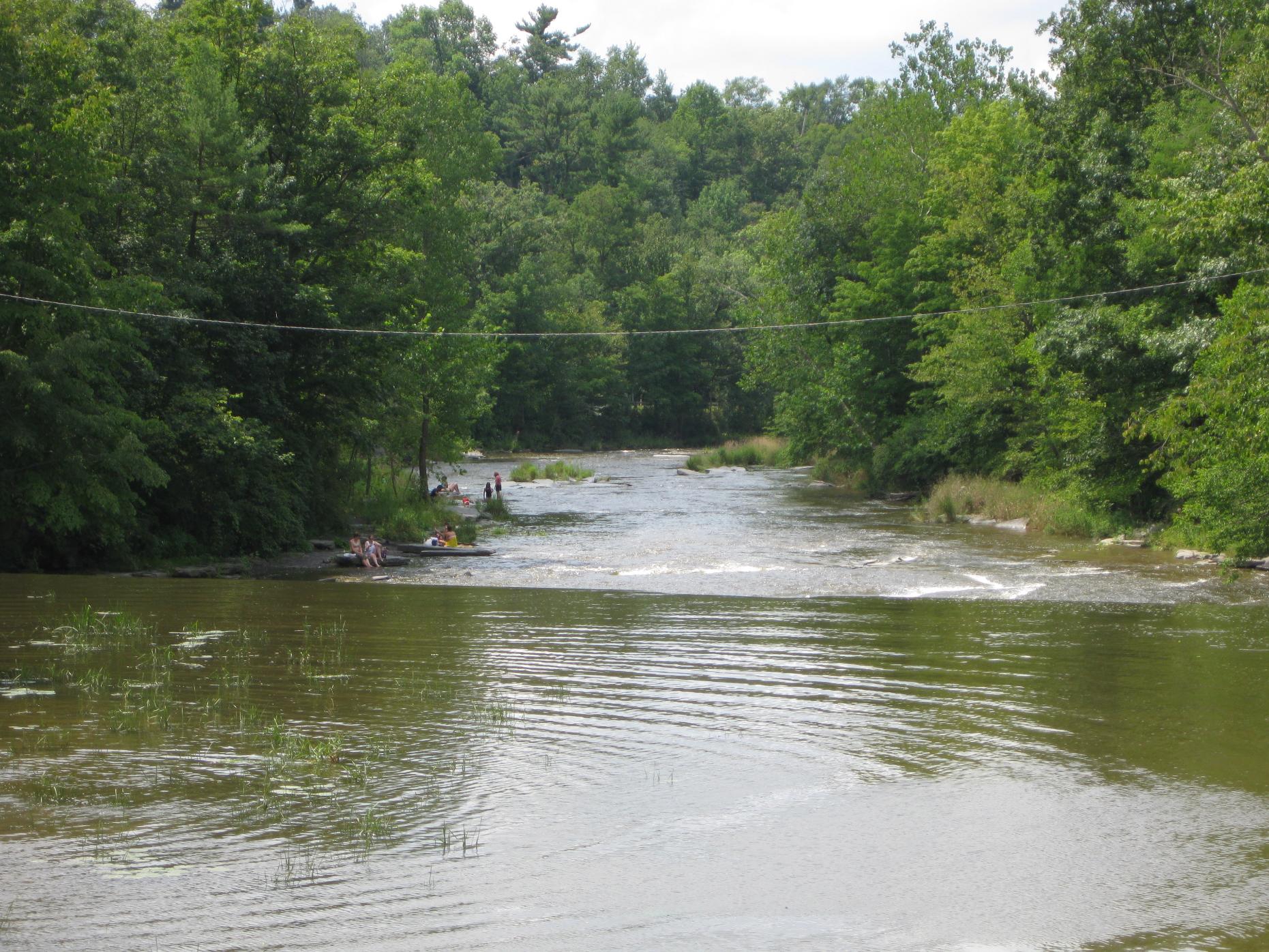
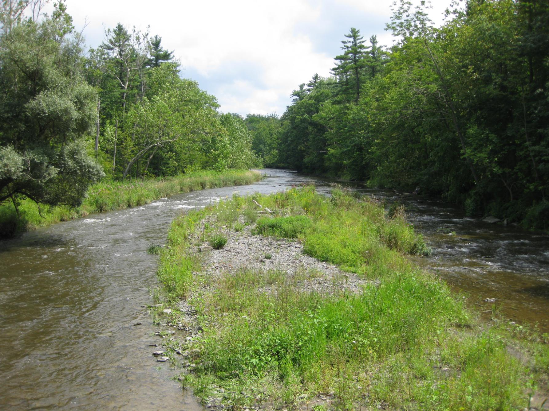
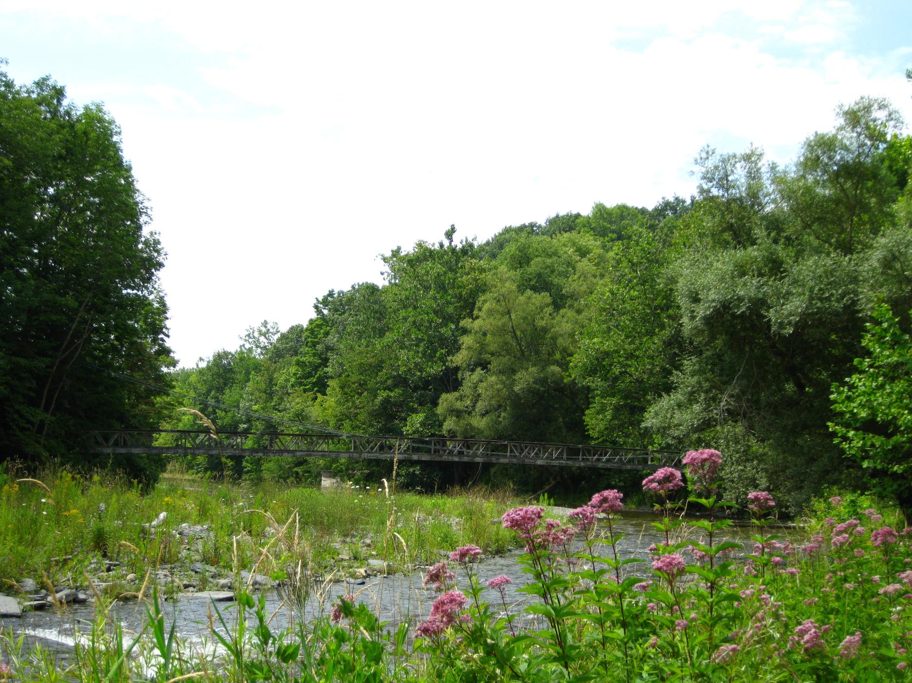
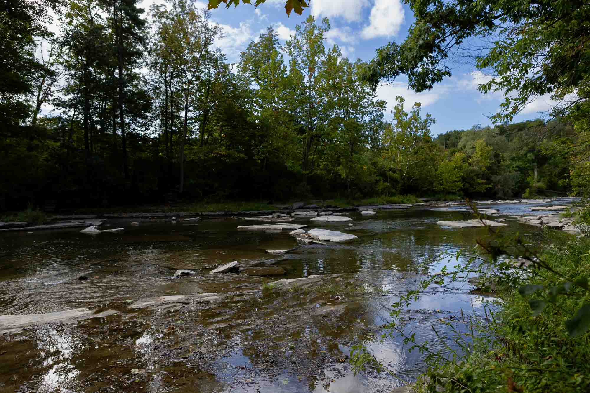
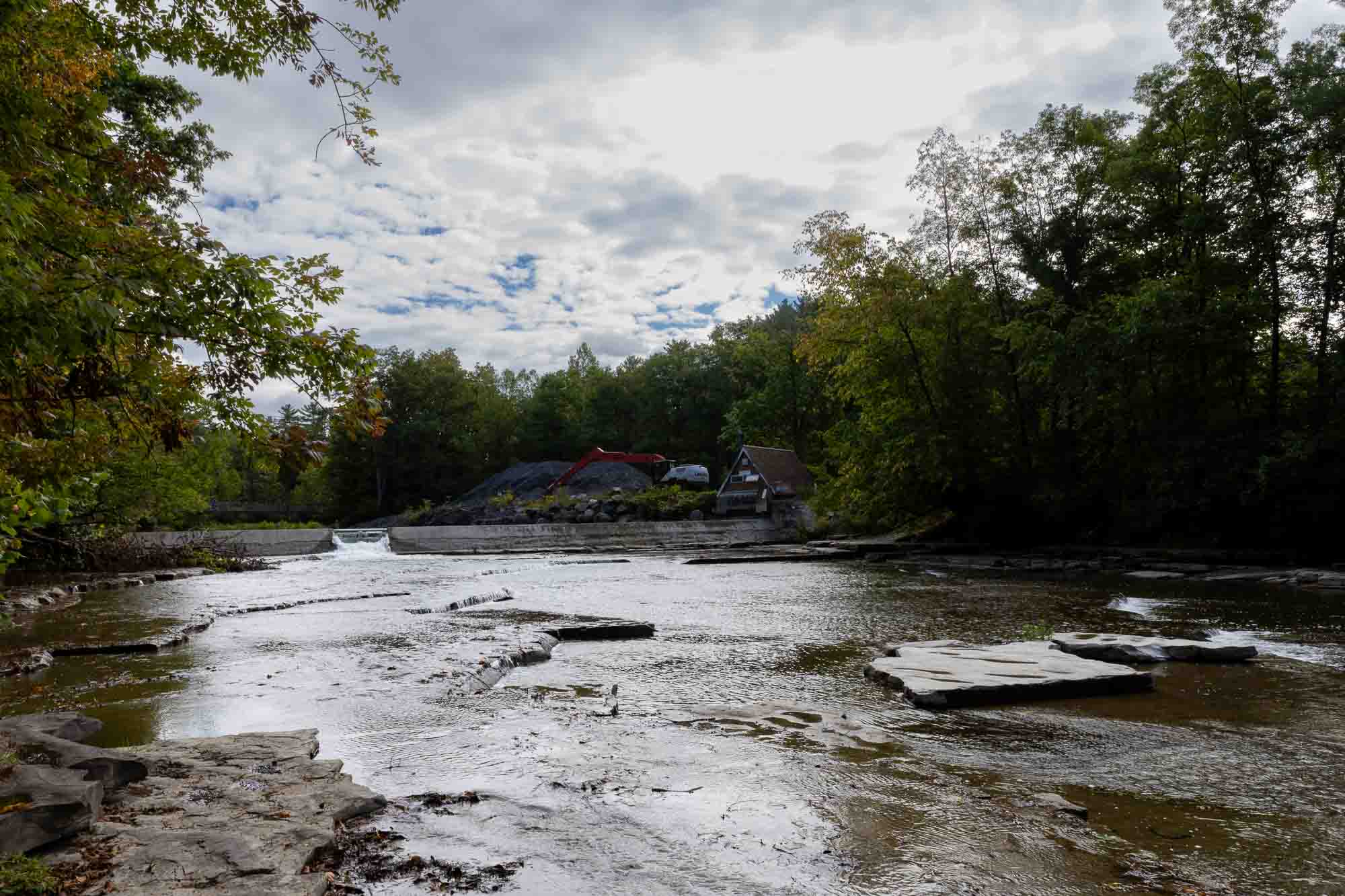
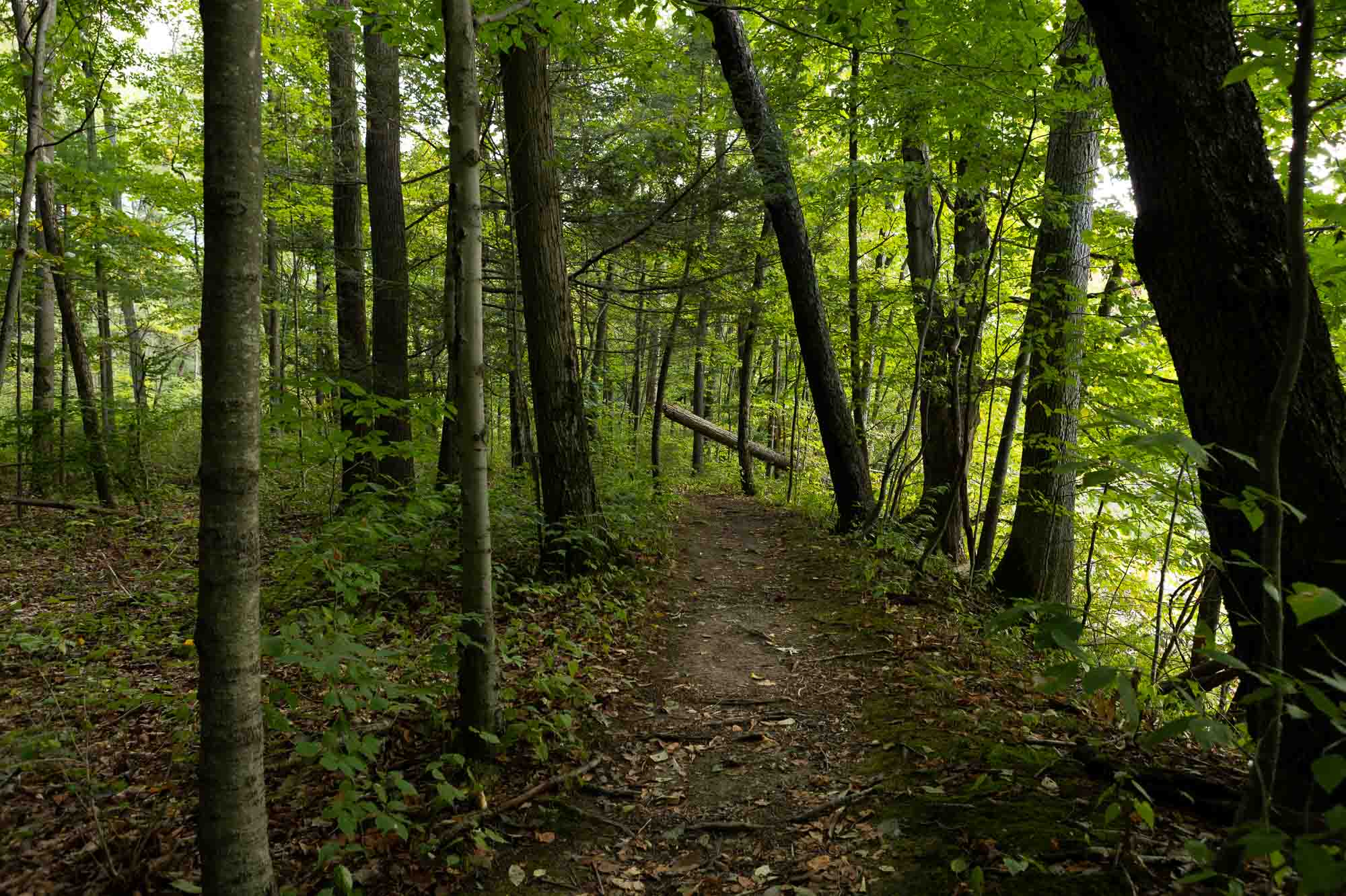
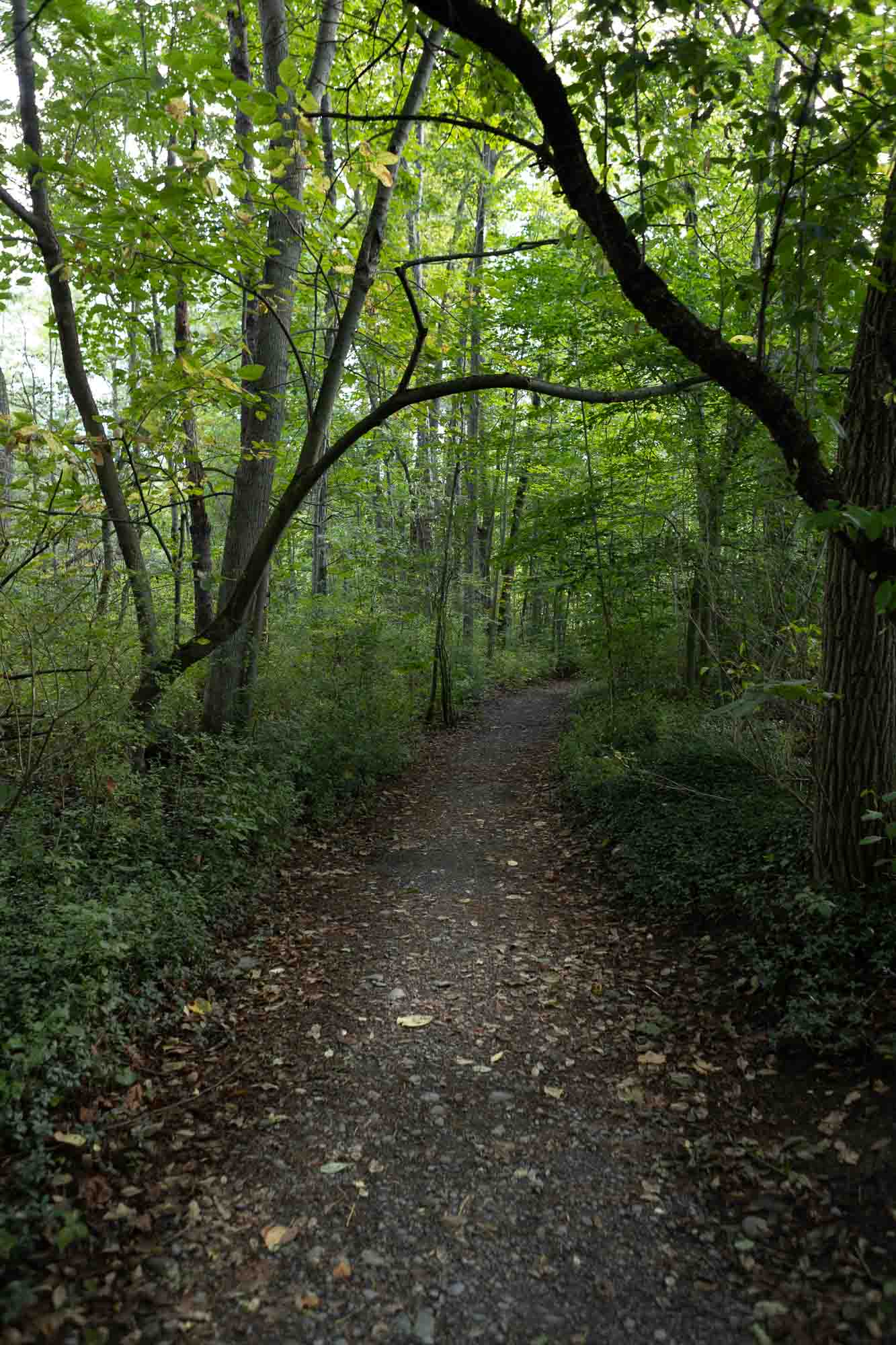
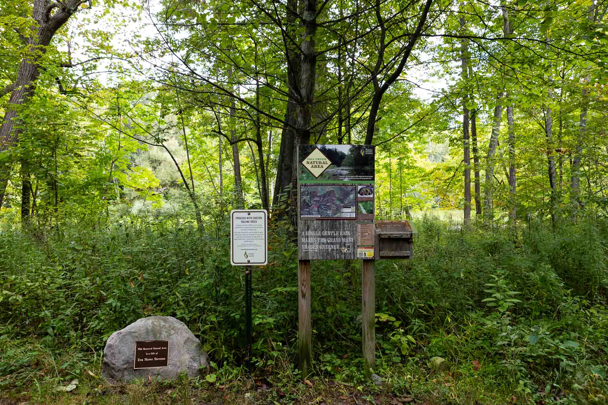
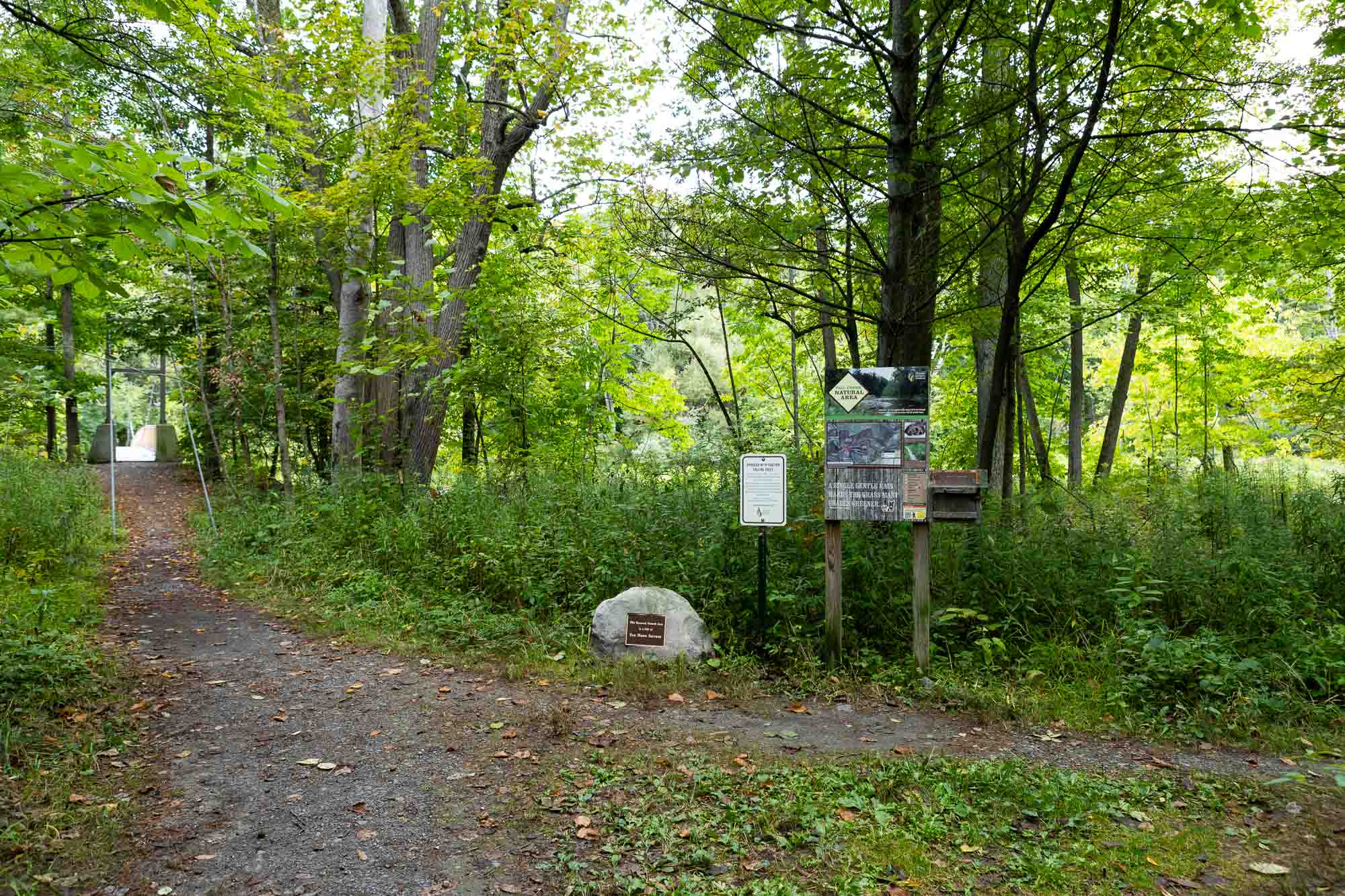
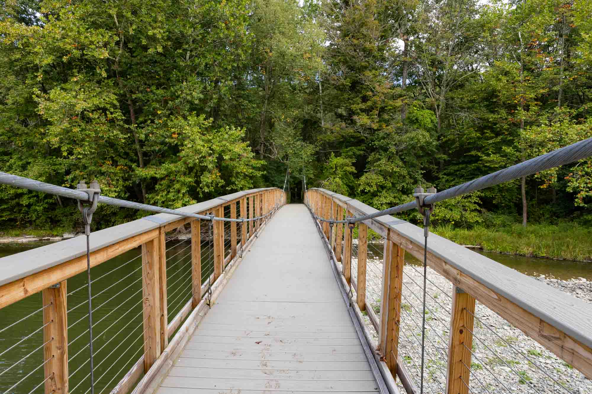
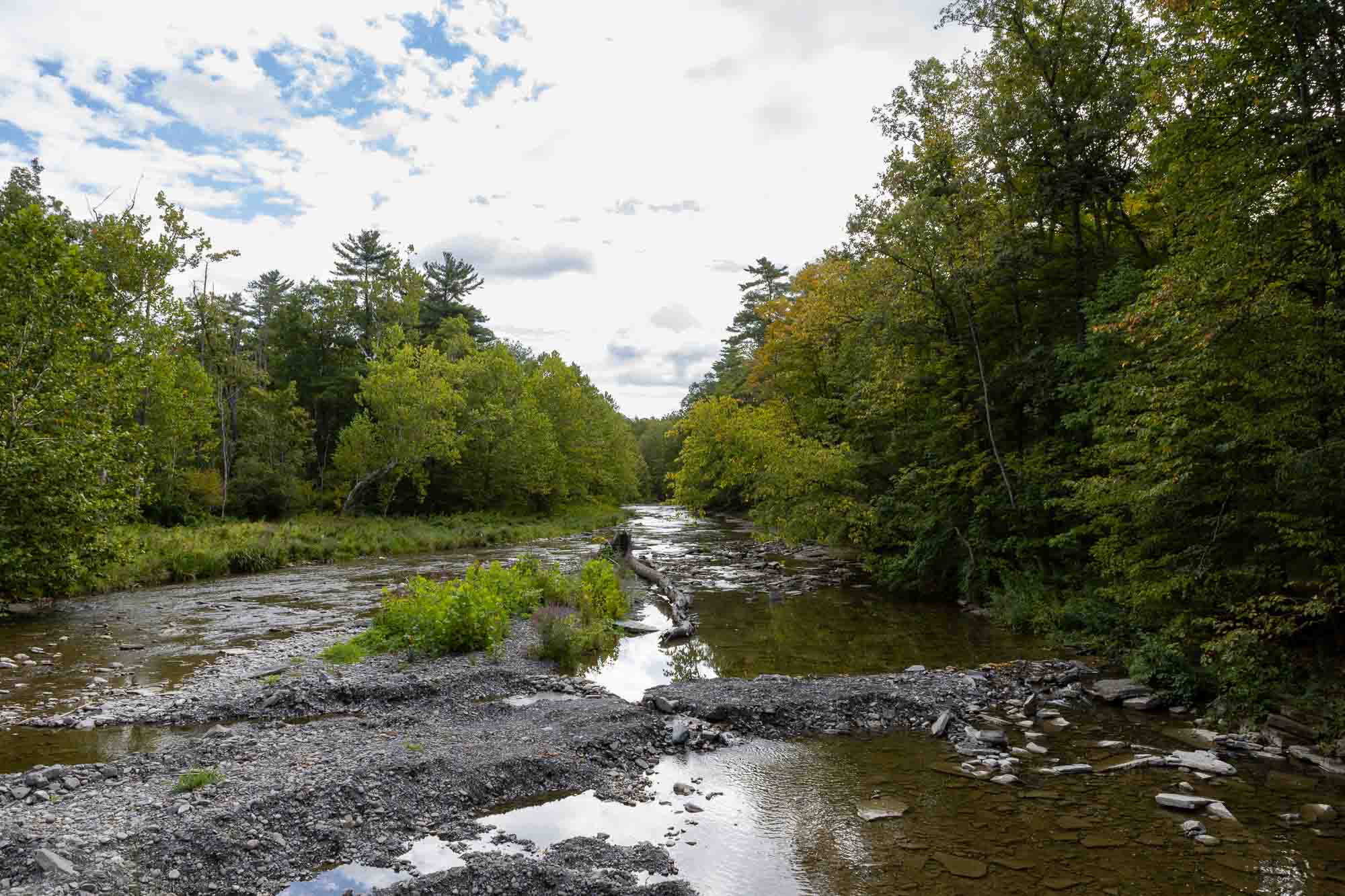
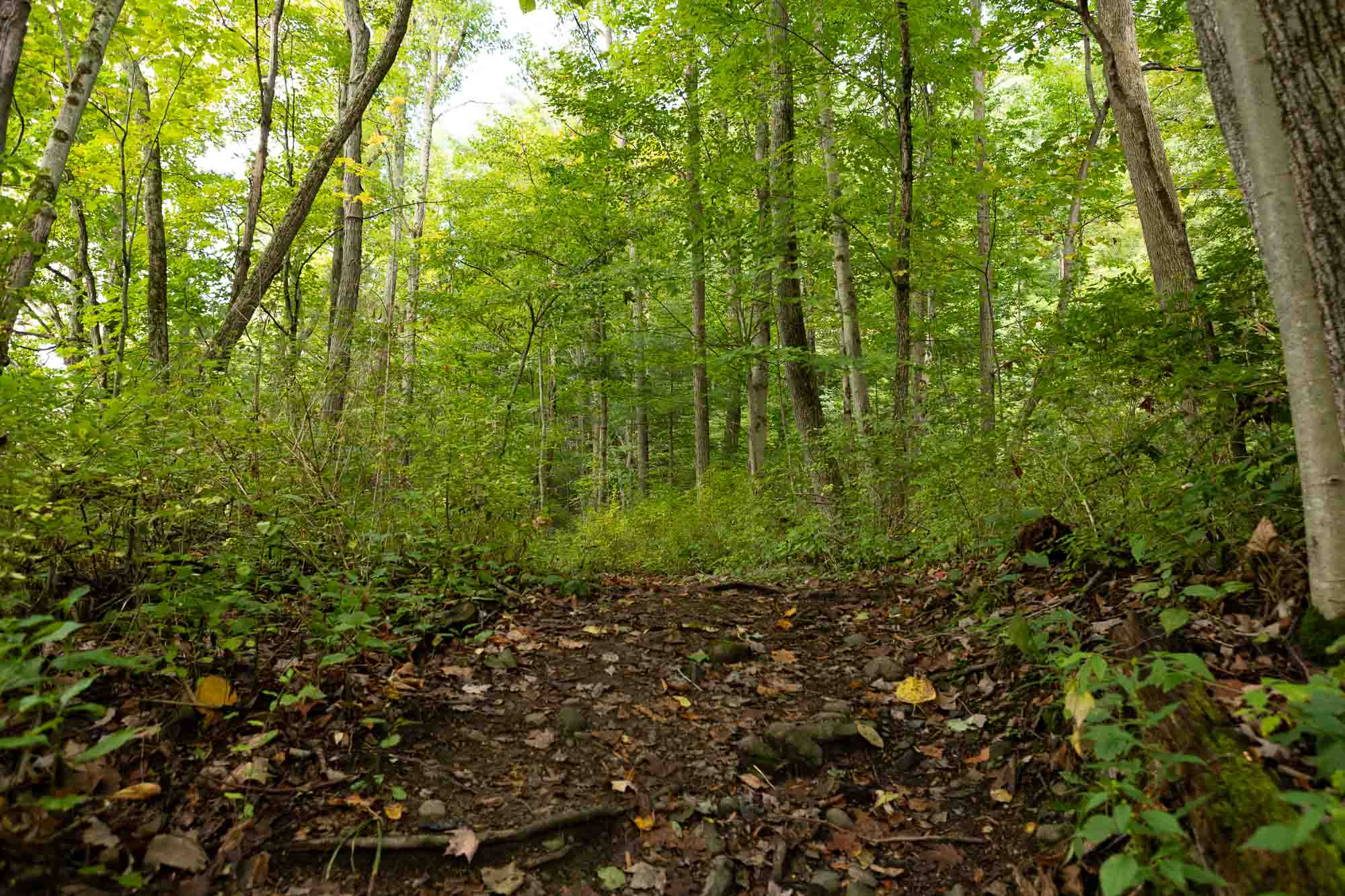
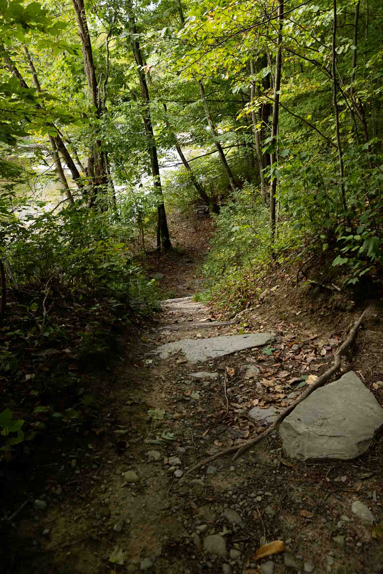
Cornell Botanic Gardens Fall Creek North Natural Area hosts a section of the Cayuga Trail, which passes through wooded lowlands and hillsides adjacent to Fall Creek. Additional spur trails off of the Cayuga Trail create connector trails that return to the start of the trail at the Stevens Footbridge just above Flat Rocks.
Portions of this trail system are also included in the Cayuga Trail system.
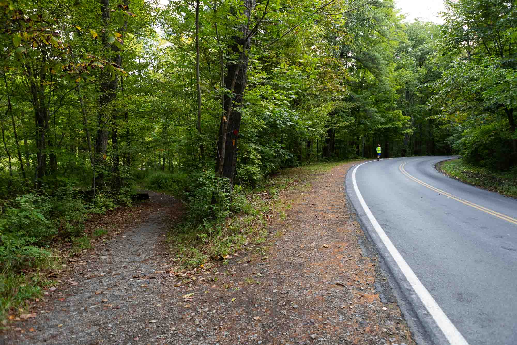
Go northwest on Freese Rd 600 ft, cross bridge and walk 100 ft to dirt road on left. The Cayuga Trail going west follows the road along to the edge of the field.
Go northwest on Freese Rd 600 ft, cross bridge and walk 100 ft to dirt road on left. The Cayuga Trail going west follows the road along to the edge of the field.
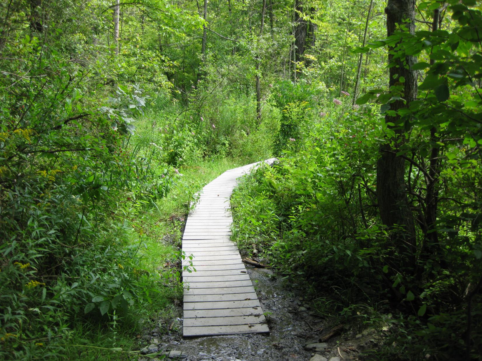
The north entrance to the Roy H. Park Preserve and the boardwalk will be closed to the public from Monday, July 7, through September 2025 as work is underway to install an ADA-accessible path. The south entrance will remain open during this time. Thank you for your patience.
A portion of the Cascadilla Gorge Trail between Stewart Avenue and College Avenue is closed for construction and will reopen in spring, 2026. The trail between Linn Street (Treman Triangle) up to the Stewart Avenue Bridge is now open.


