Trail Alerts // Hunting seasons have opened in parts of Tompkins County. Wear blaze orange in areas where hunting is allowed. Check for the latest trail alerts before you go. See All Trail Alerts
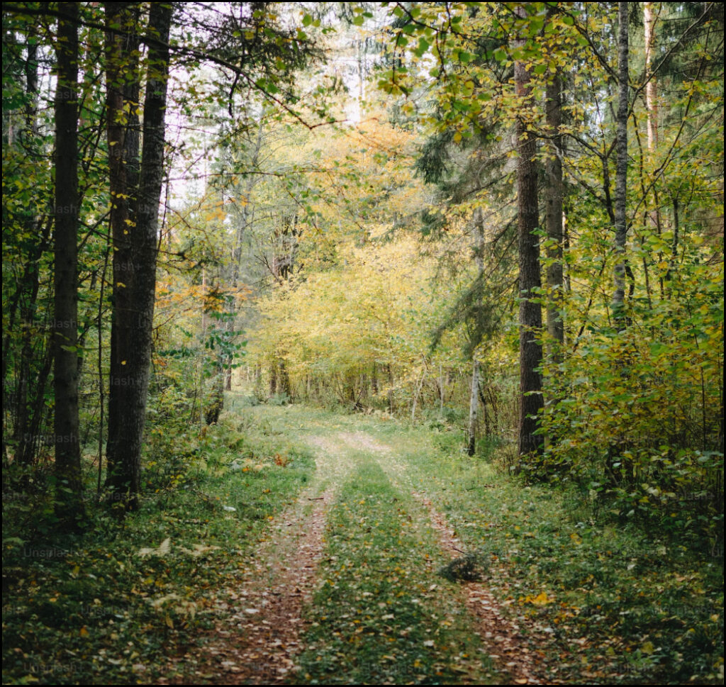
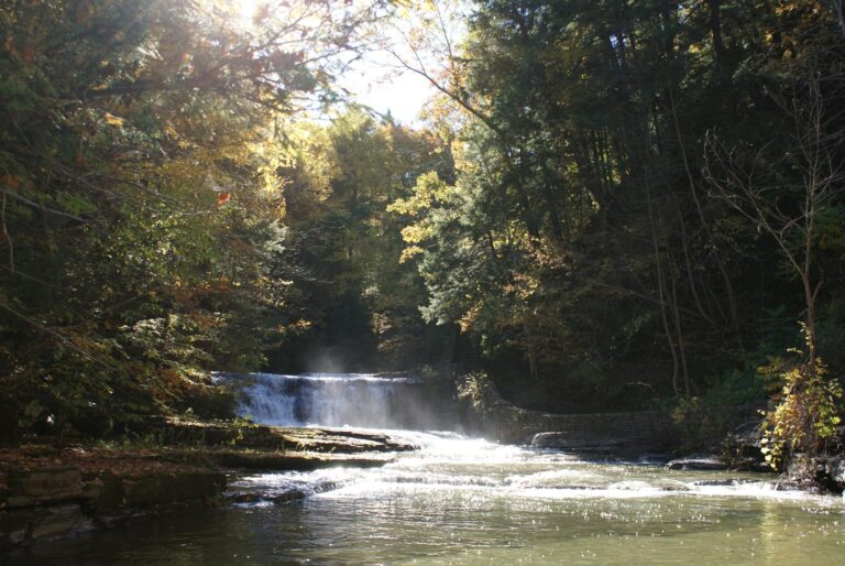
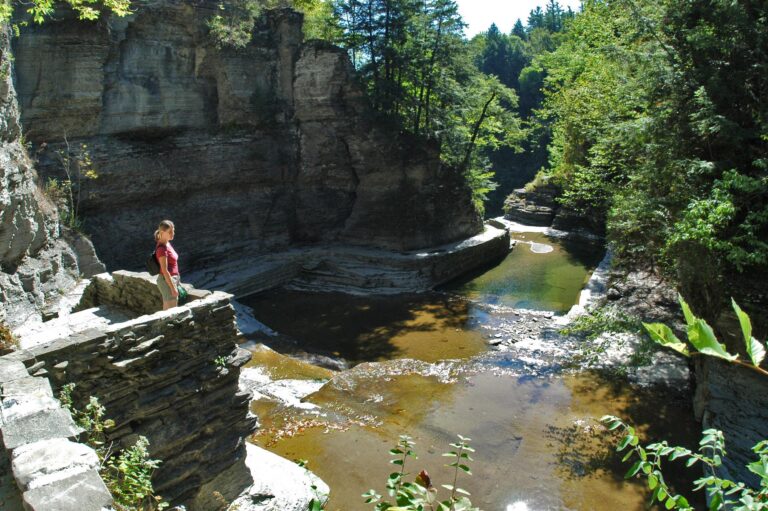
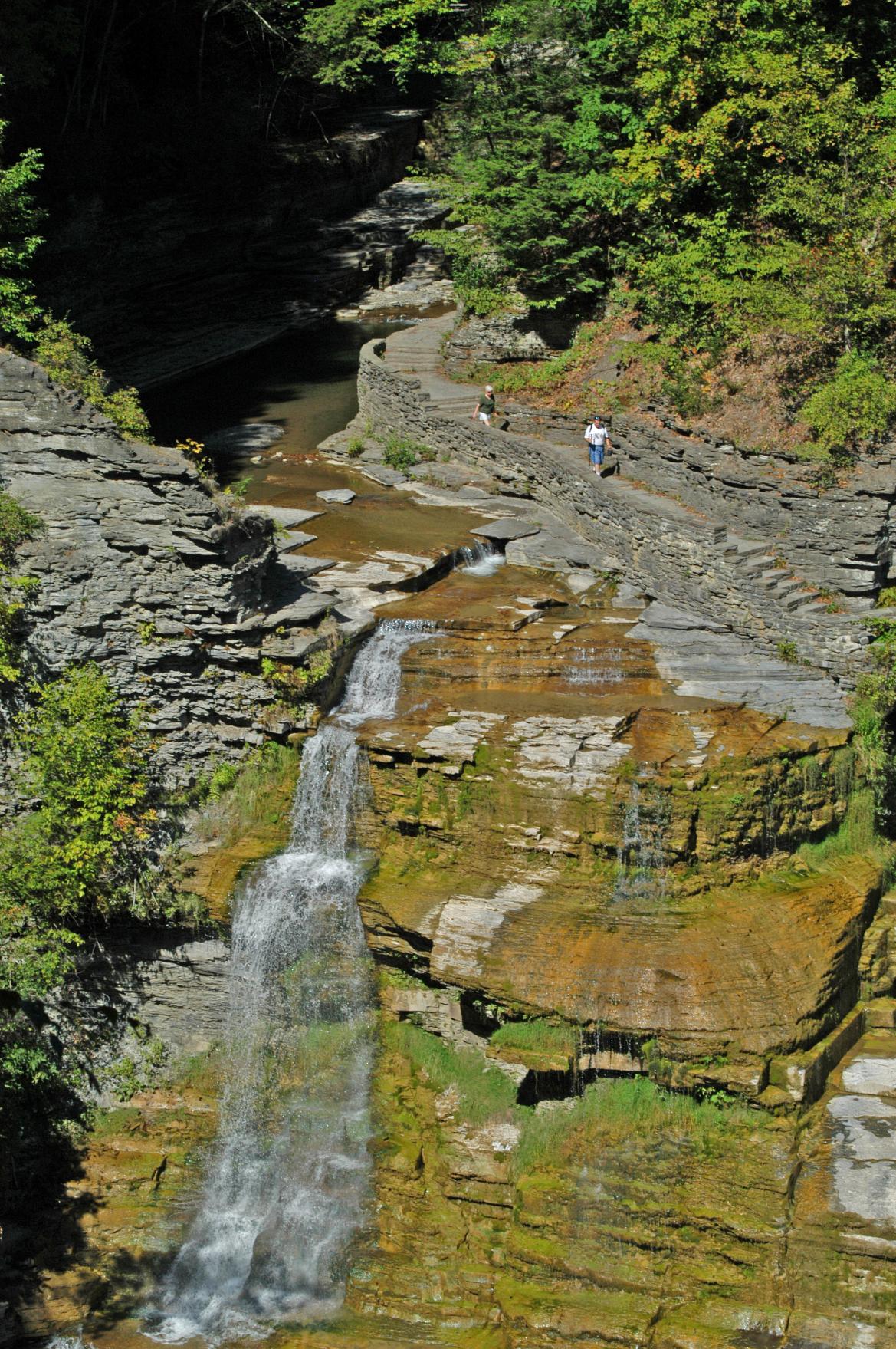
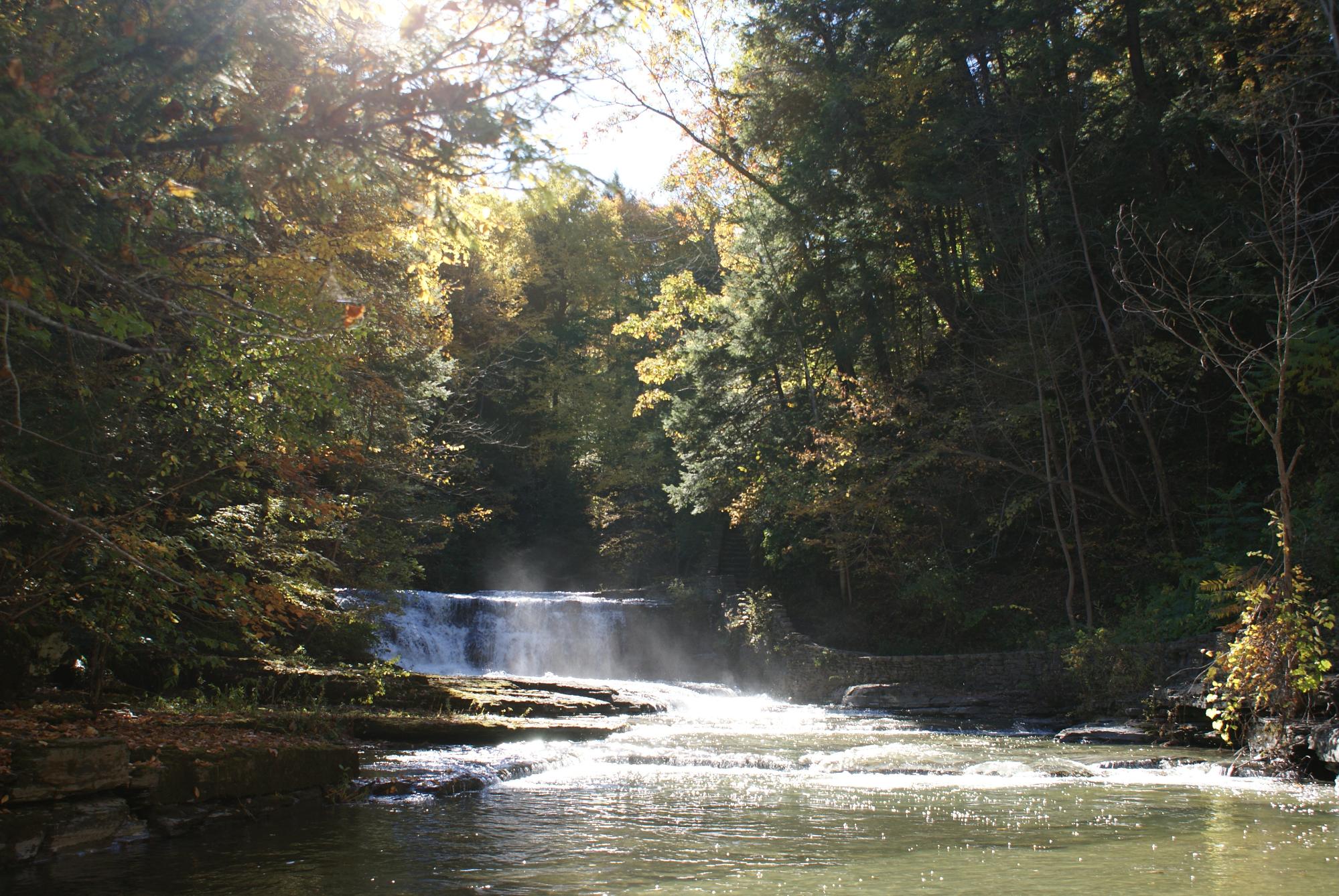
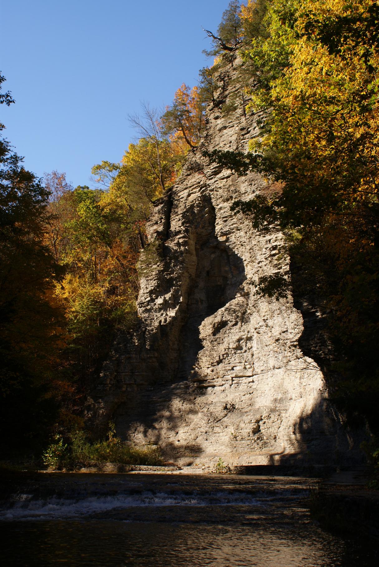
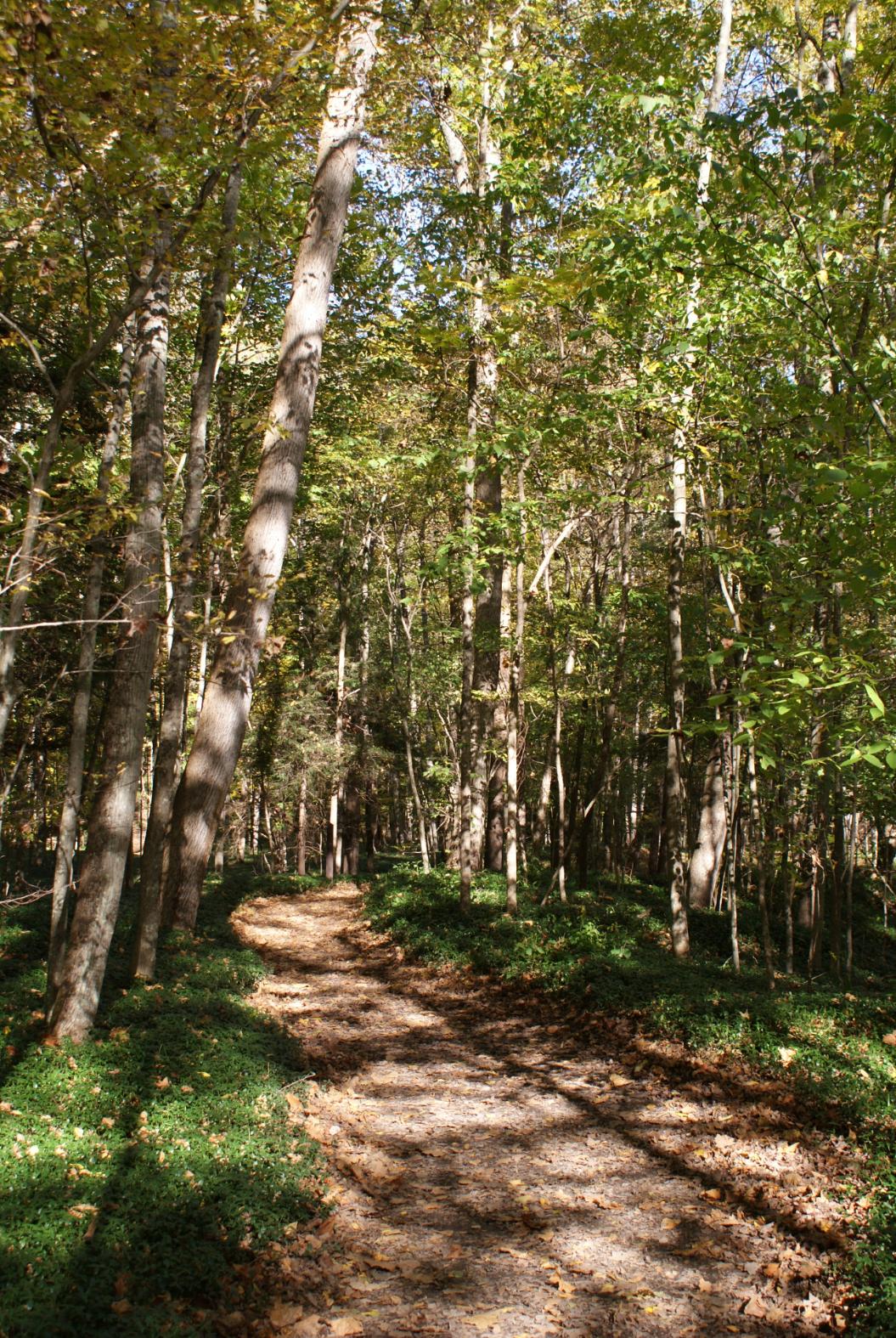
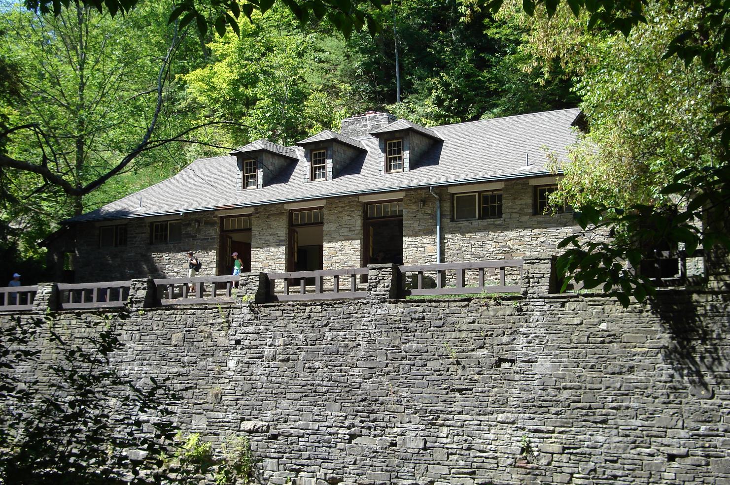
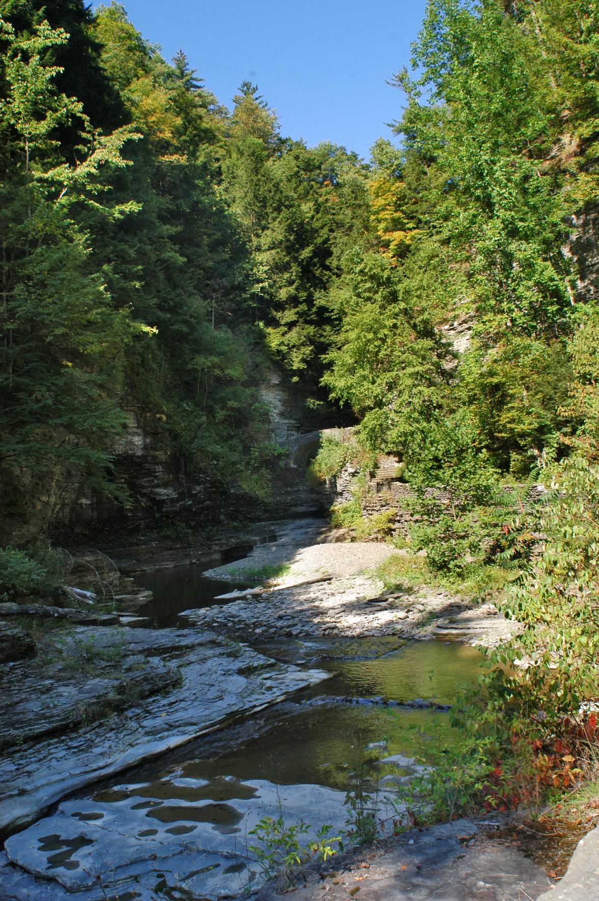
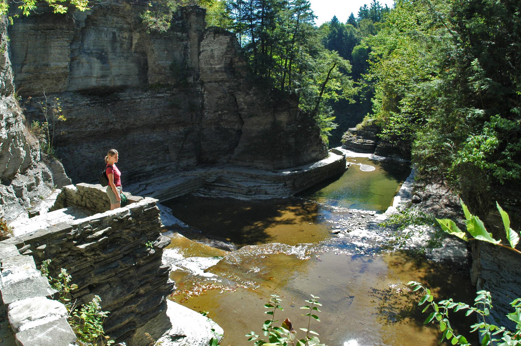
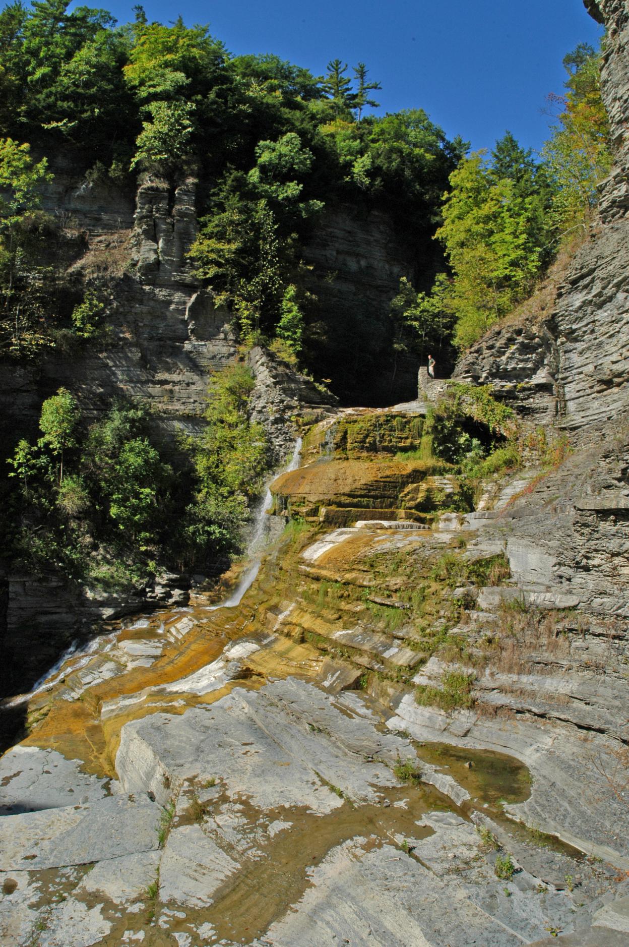
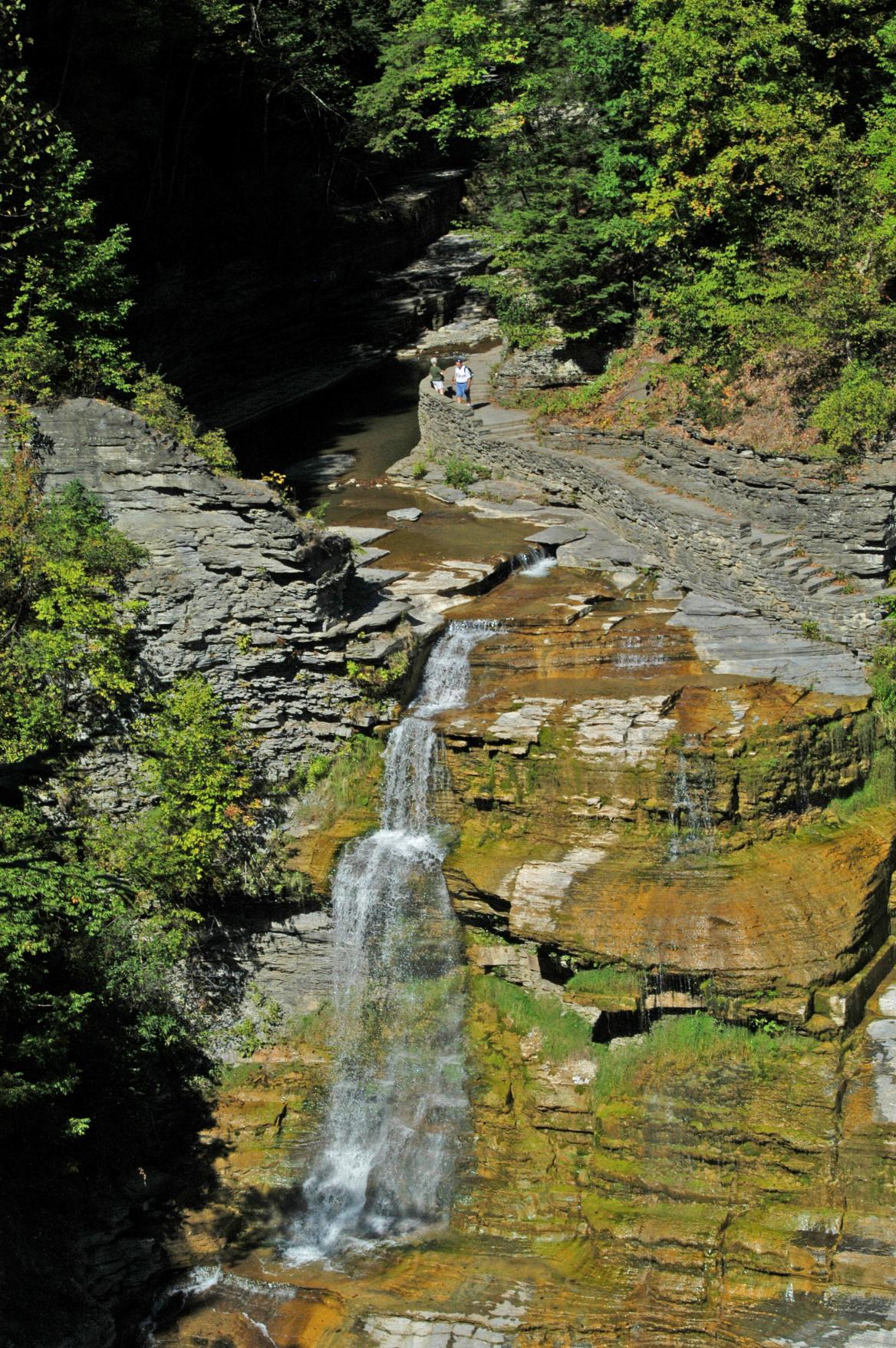
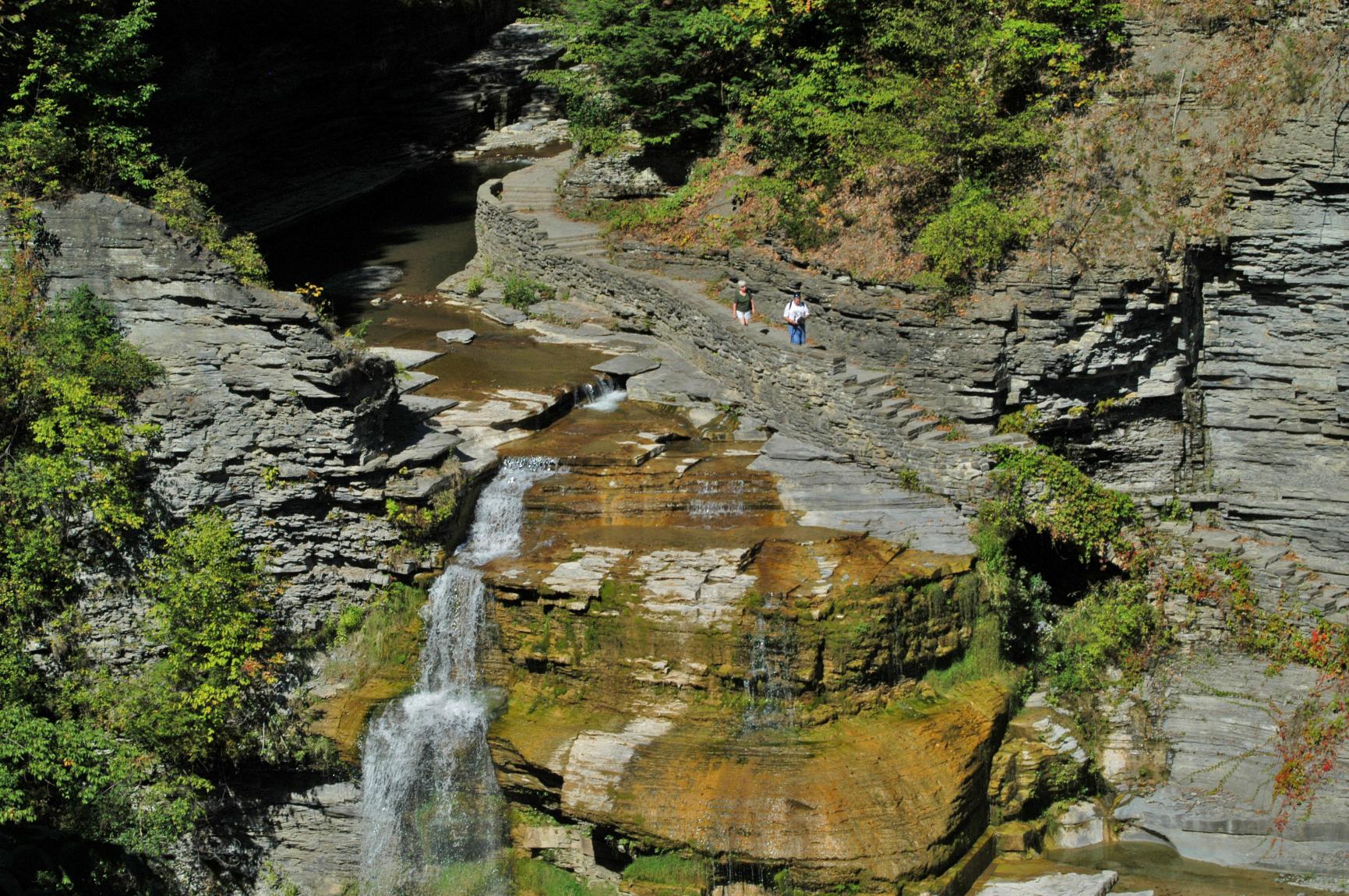
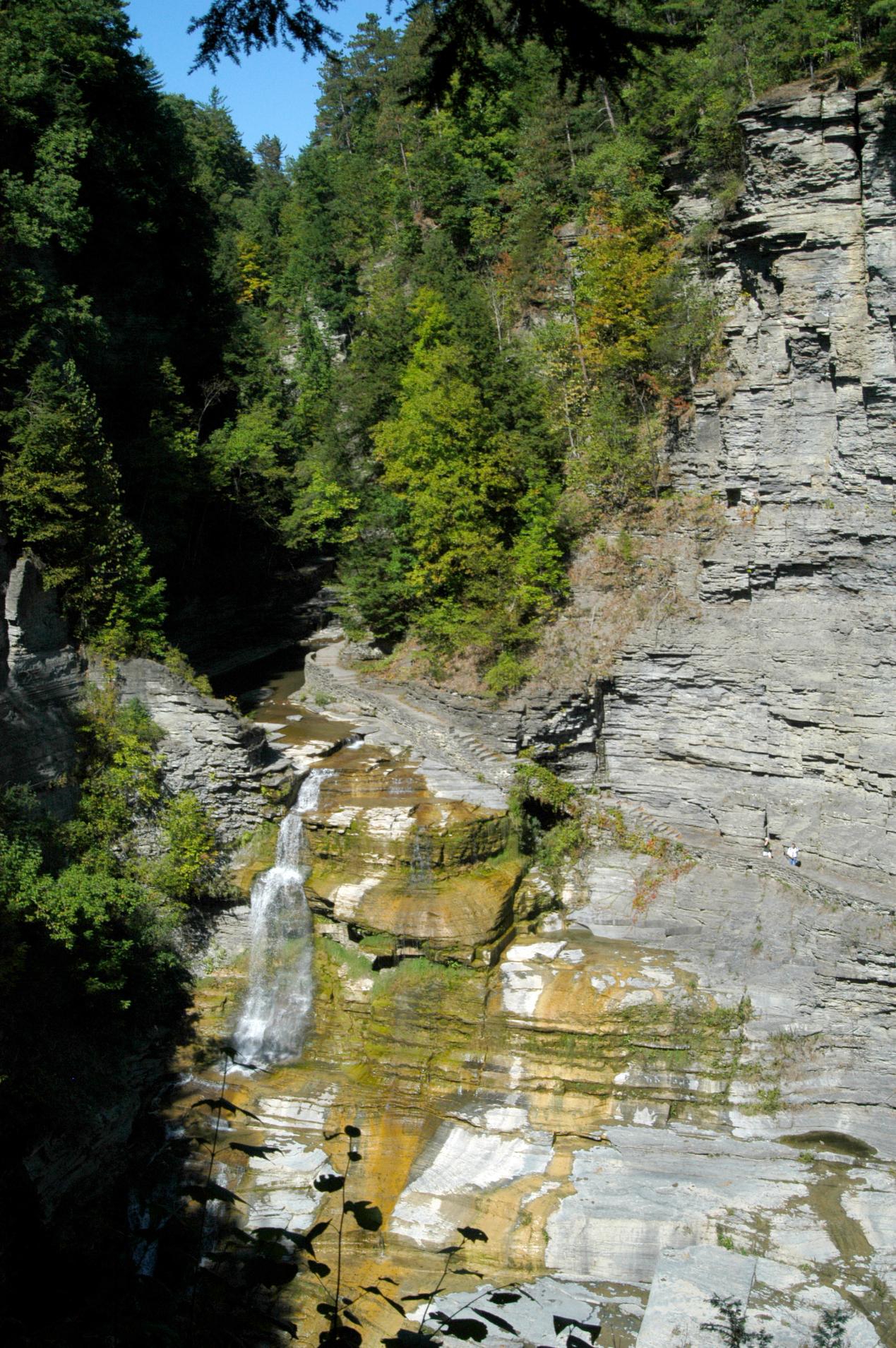
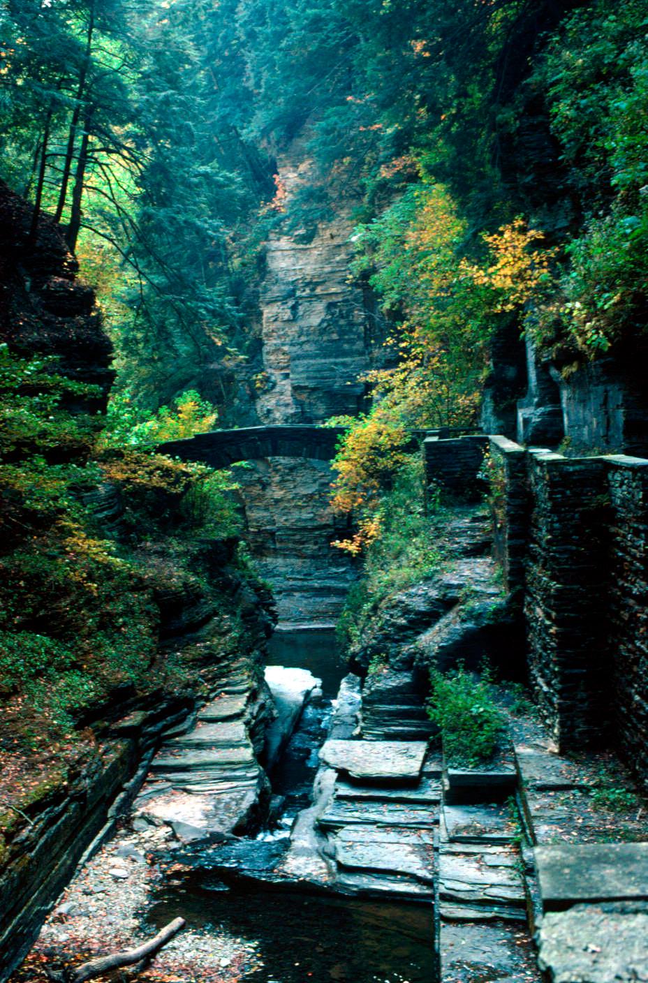
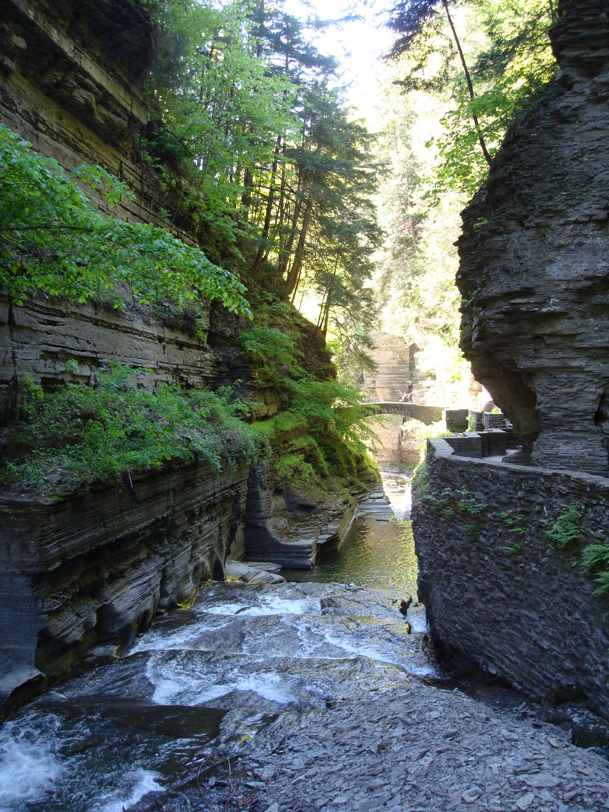
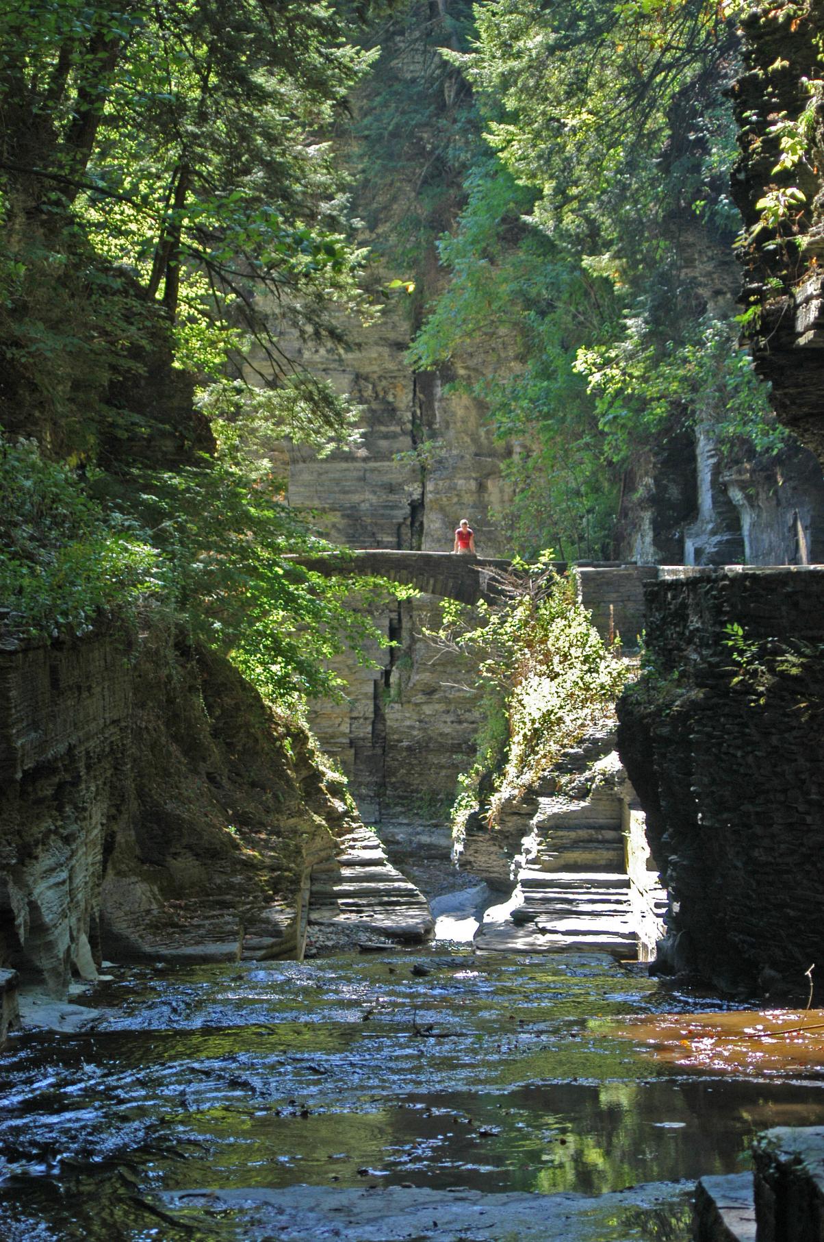
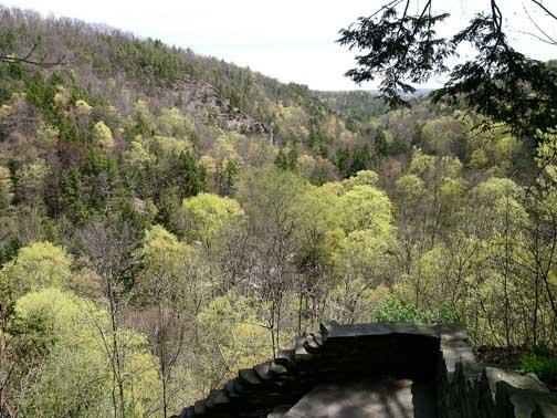
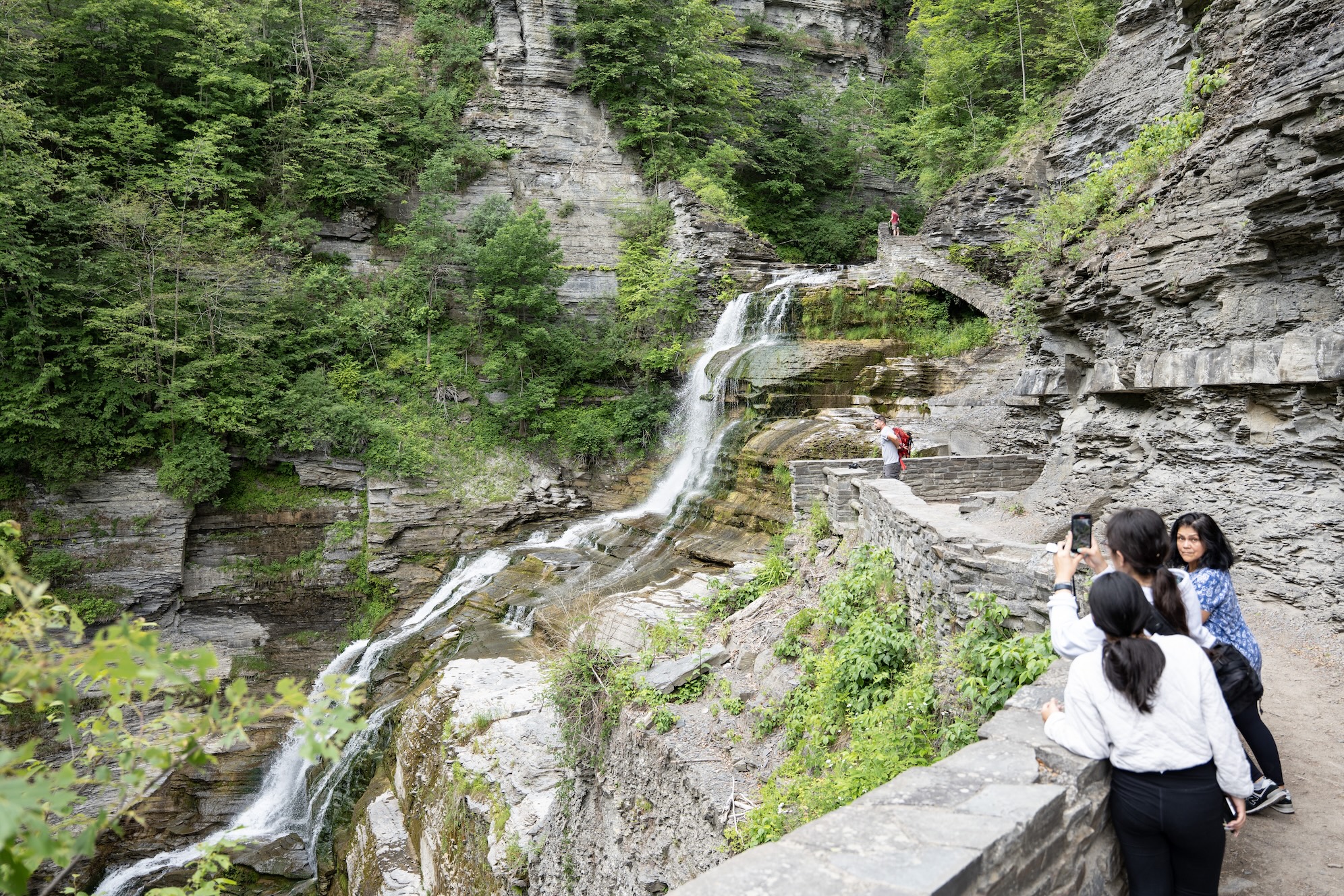
Robert H. Treman State Park
Difficulty // Easy, Moderate, Difficult
Activities // Hiking, Snowshoeing, Running
Distance // 11.0 miles
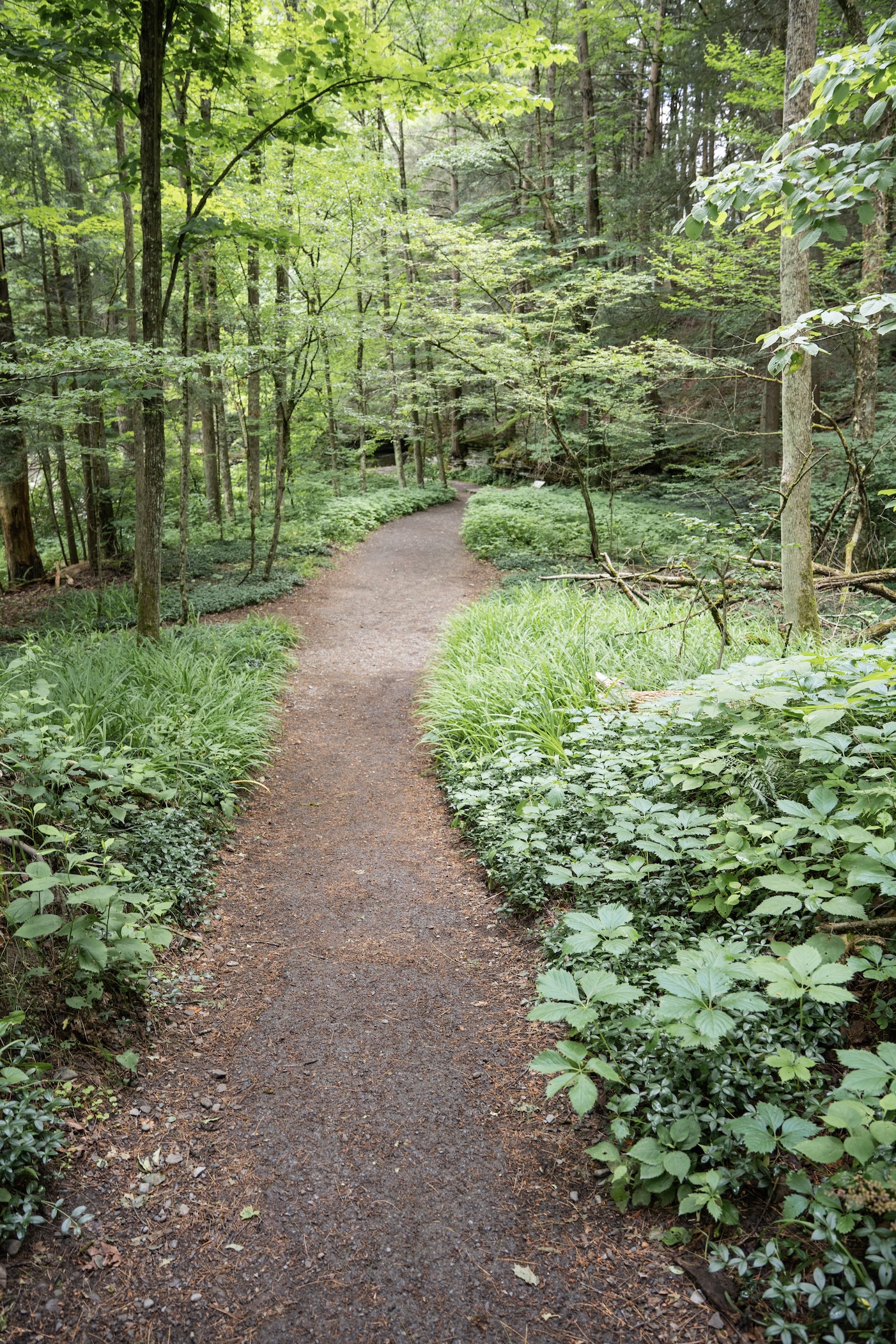
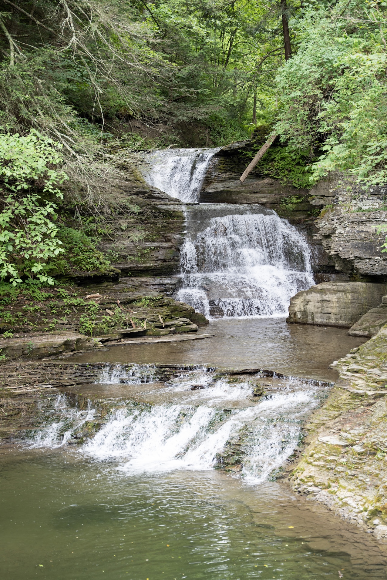
Features // Scenic vistas, Waterfalls & Gorges, Unique wildlife viewing, Picnicking allowed, Restrooms available, Dog-friendly (on leash)
Route Type // Out and Back
Estimated hiking time // 4 hrs 24 mins
Open year-round.
Hunting allowed, use caution.
Surface types // Earth, Gravel / Stone Dust, Pavement
Trail markers // wayfinding signs, white blaze, orange, blue blazes, unmarked, red blaze
Portions of this trail system are also included in the Finger Lakes Trail system.
Individual Trails at This Site
These trails have their own narrative, photos, and additional trail information.
From outbound (southbound) bus stop, go 70 ft north and then left on Park Ln past vehicle gate. Continue 250 ft to intersection with the Finger Lakes Trail (FLT), marked with white blazes. Finger Lakes Trail through RH Treman State Park: follow the wh
TCAT Route 20, Saturday & Sunday: First trip of day, Demand Drop-off at Upper Entrance of RH Treman State Park. Talk to bus driver to request dropoff. From dropoff point, go 3/4 mile south on Park Rd to trailheads of the Rim, Gorge, Red Pine, and Conse
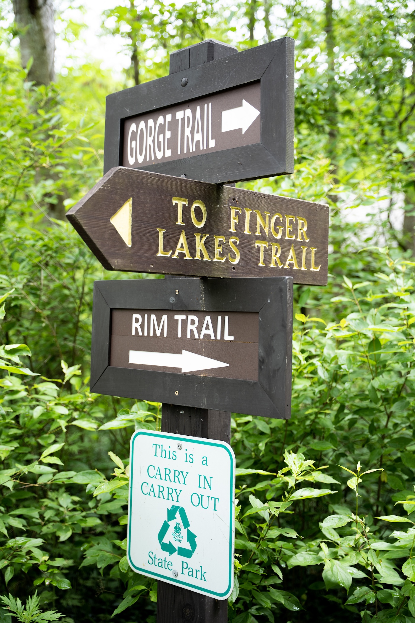
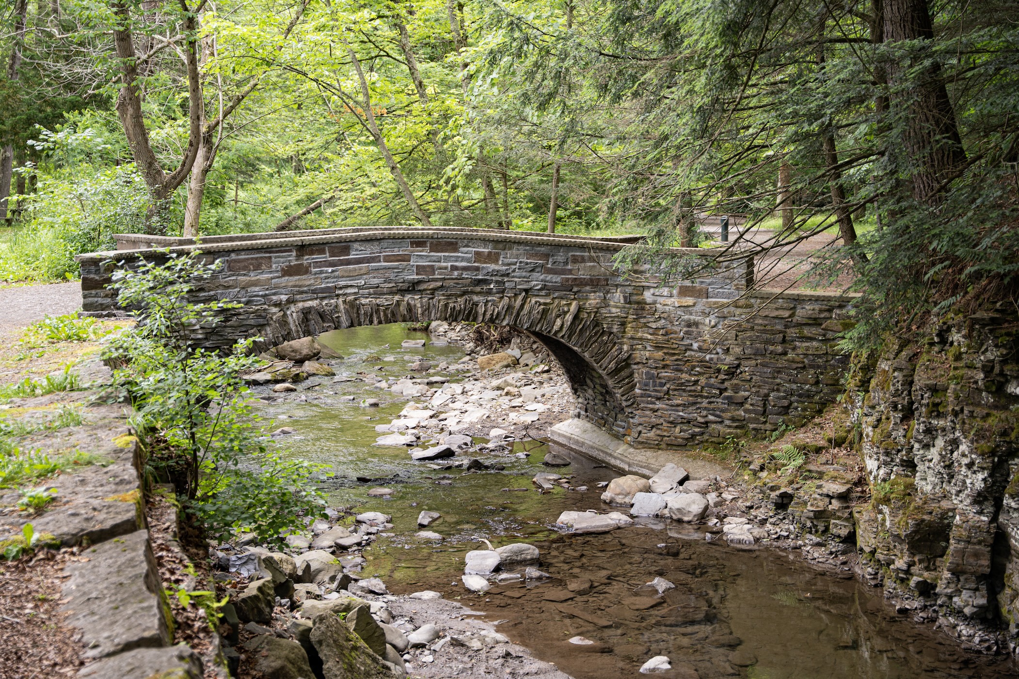
Summer only: TCAT Route 22. Bus stop is near Gorge Trail and Lower Falls Trail. Rim Trail: Cross vehicle bridge over Enfield Glen Creek and continue past picnic pavilion to Rim Trail.
From outbound (southbound) bus stop, go 70 ft north and then left on Park Ln past vehicle gate. Continue 250 ft to intersection with the Finger Lakes Trail (FLT), marked with white blazes. Finger Lakes Trail through RH Treman State Park: follow the wh
TCAT Route 20, Saturday & Sunday: First trip of day, Demand Drop-off at Upper Entrance of RH Treman State Park. Talk to bus driver to request dropoff. From dropoff point, go 3/4 mile south on Park Rd to trailheads of the Rim, Gorge, Red Pine, and Conse
Summer only: TCAT Route 22. Bus stop is near Gorge Trail and Lower Falls Trail. Rim Trail: Cross vehicle bridge over Enfield Glen Creek and continue past picnic pavilion to Rim Trail.
The north entrance to the Roy H. Park Preserve and the boardwalk will be closed to the public from Monday, July 7, through September 2025 as work is underway to install an ADA-accessible path. The south entrance will remain open during this time. Thank you for your patience.
A portion of the Cascadilla Gorge Trail between Stewart Avenue and College Avenue will be closed until mid- to late-October 2025. The trail between Linn Street (Treman Triangle) up to the Stewart Avenue Bridge is now open.
The Gorge Trail at Buttermilk Falls State Park will be closed, weekdays (Monday thru Friday) beginning Tuesday October 14th. This closure will allow for the installation of several stone staircases and the repair of numerous stone walls, steps and other features of the trail. State Parks Trails and Masonry professionals will be able to complete these upgrades during the week and will ensure that the trails are accessible open and safe on Saturdays and Sundays.
Starting September 2, 2025 park staff will be performing trail maintenance on the Black Diamond Trail between Perry City Road and Garrett Road. Sections of the trail will be intermittently closed between the hours of 8:00 a.m. – 5:00 p.m. Monday – Thursday. Please use alternate routes during that time. The work is expected to last several weeks.


