Features // Scenic vistas, Waterfalls & Gorges, Unique wildlife viewing, Picnicking allowed, Restrooms available, Bus Stop Nearby, Open Year-Round
Route Type // Out and Back
Estimated hiking time // 16 mins
Open year-round.
Hunting not allowed.
Surface types // Earth
Trail markers // wayfinding signs
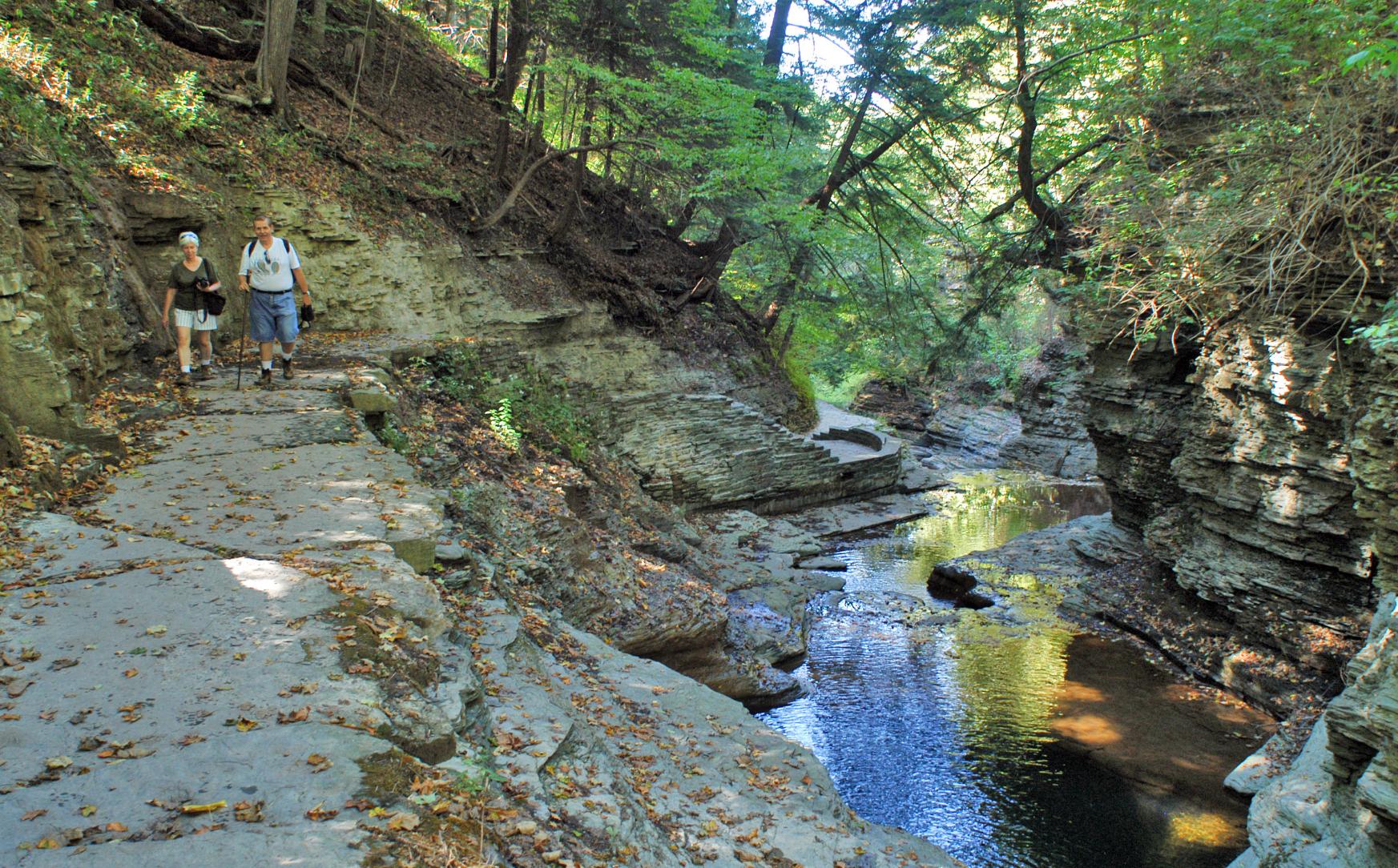
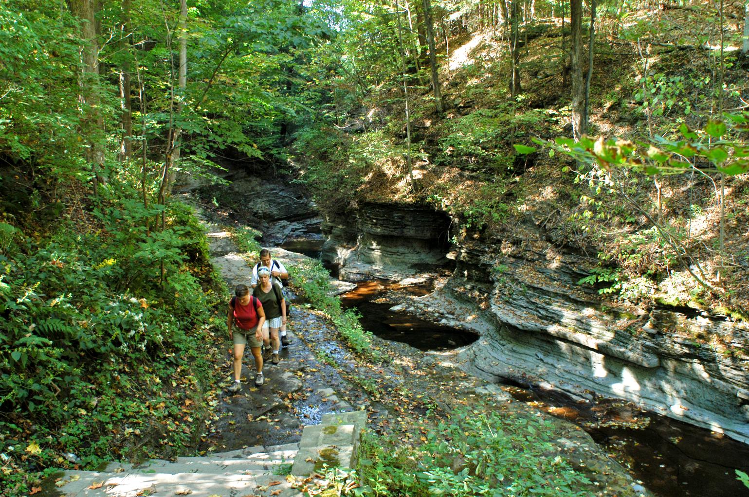
To the north of Buttermilk Creek is Owl Creek, a much smaller stream that also cascades down the steep slope. Starting just a short distance uphill from the Lower Buttermilk Falls parking area, the Owl Creek Trail crosses the stream and then continues uphill along the north rim of the creek; a bench at an overlook is a lovely place to sit and enjoy the view across the valley. The trail continues uphill to where it terminates at Stone Quarry Road, where the hiker can connect to trails on the Ithaca College Natural Lands.
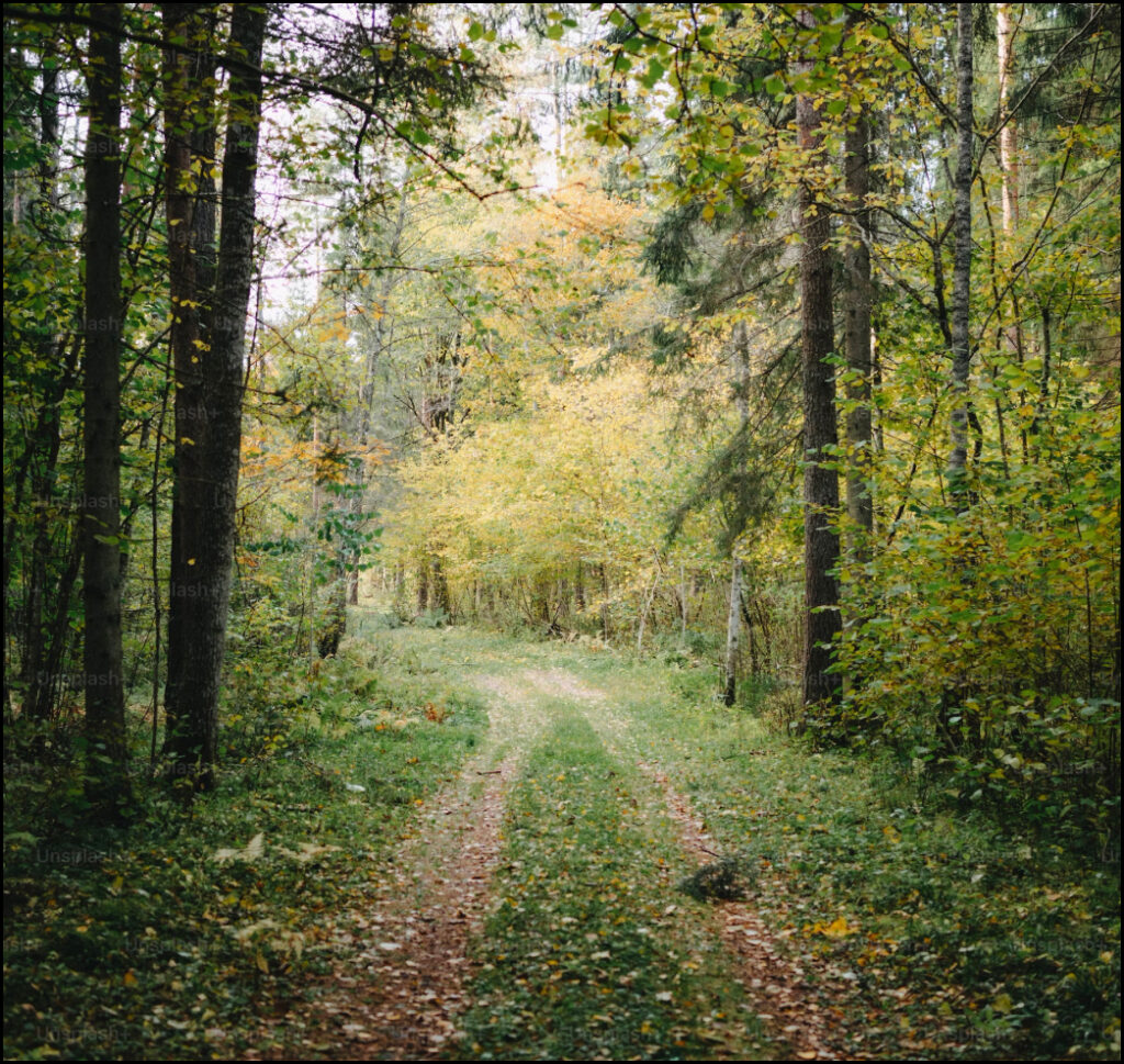
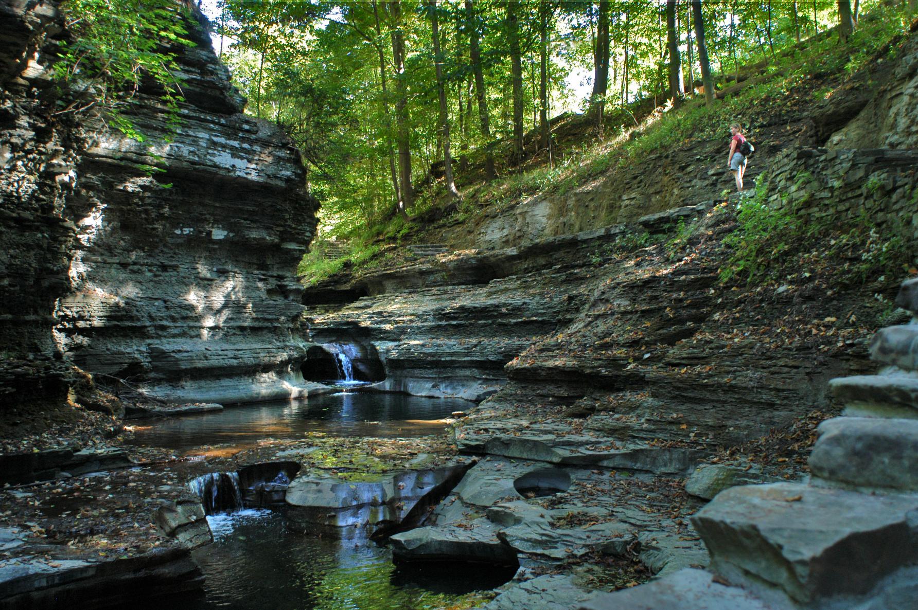
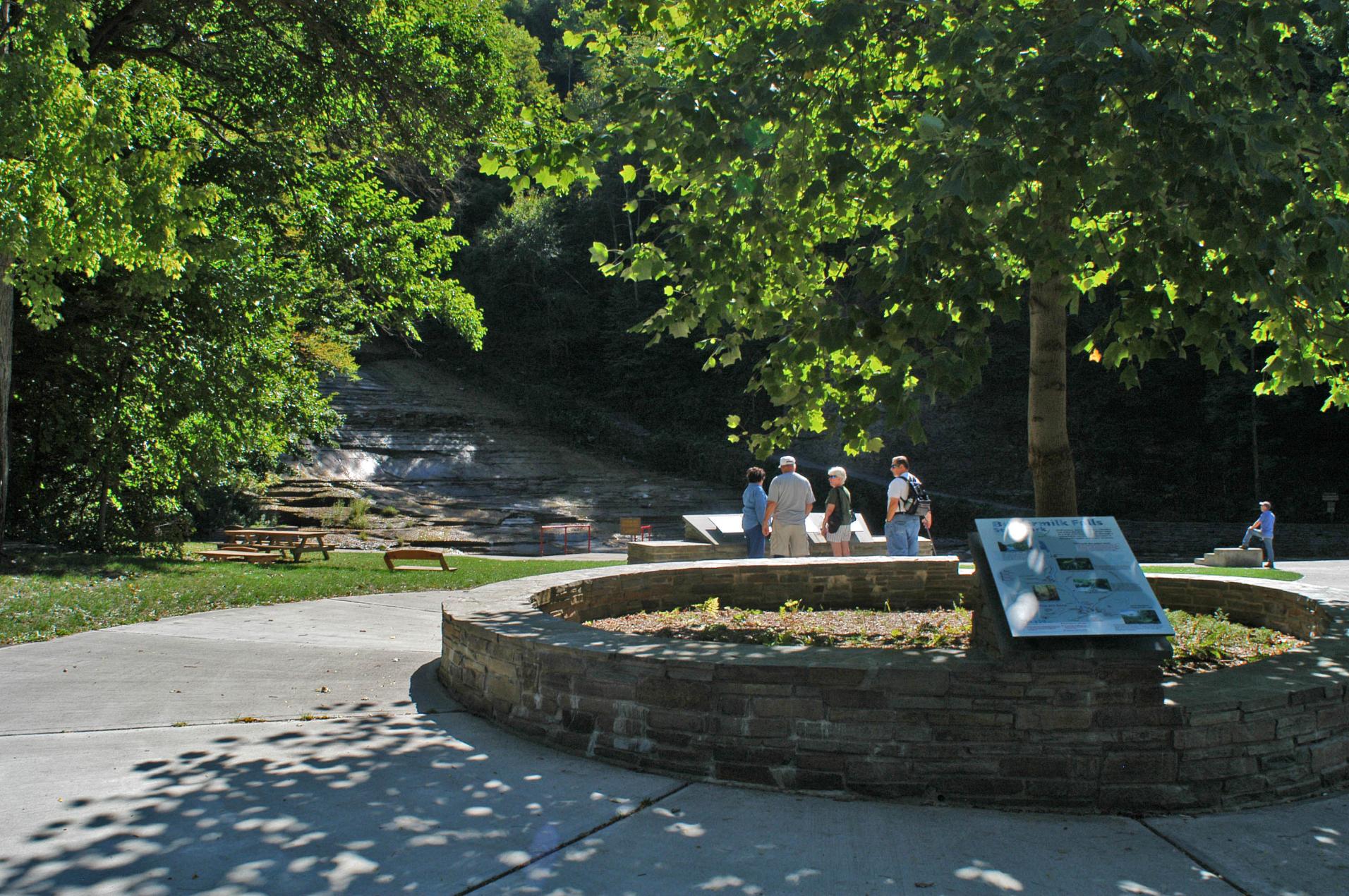
Buttermilk Creek drops 600 feet as it plunges through a gorge down the eastern slope of the Cayuga Valley at the southernmost edge of the City of Ithaca.
The north entrance to the Roy H. Park Preserve and the boardwalk will be closed to the public from Monday, July 7, through September 2025 as work is underway to install an ADA-accessible path. The south entrance will remain open during this time. Thank you for your patience.
A portion of the Cascadilla Gorge Trail between Stewart Avenue and College Avenue is closed for construction and will reopen in spring, 2026. The trail between Linn Street (Treman Triangle) up to the Stewart Avenue Bridge is now open.


