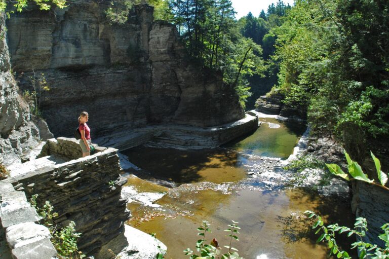
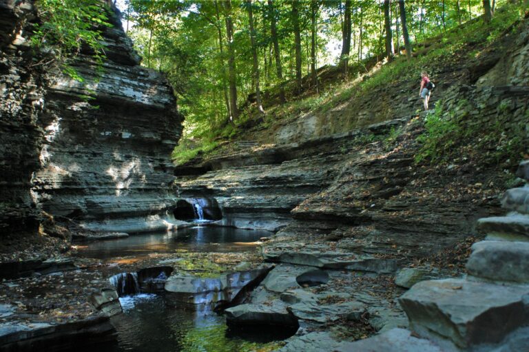
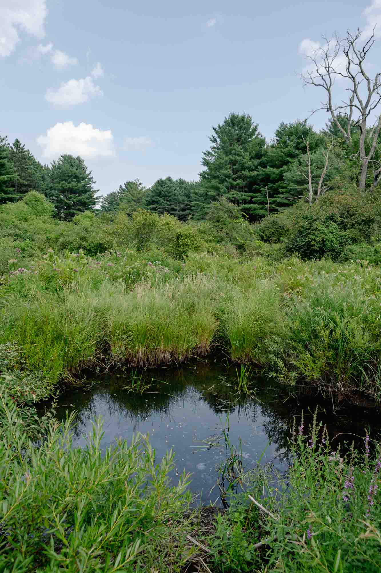
Features // Lakes visible, Scenic vistas, Waterfalls & Gorges, Unique wildlife viewing, Picnicking allowed, Restrooms available, Dog-friendly (on leash), Bus Stop Nearby, Open Year-Round
Route Type // Out and Back
Estimated hiking time // 28 hrs 38 mins
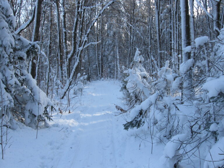
Open year-round.
Hunting allowed, use caution.
Surface types // Earth, Gravel / Stone Dust
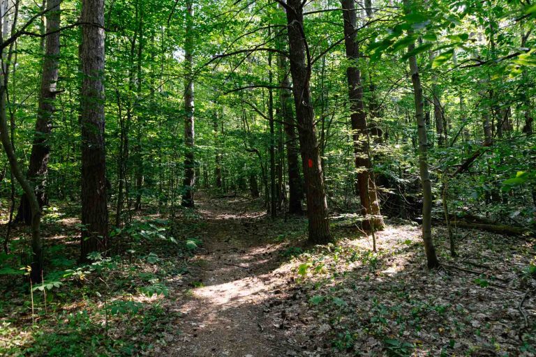
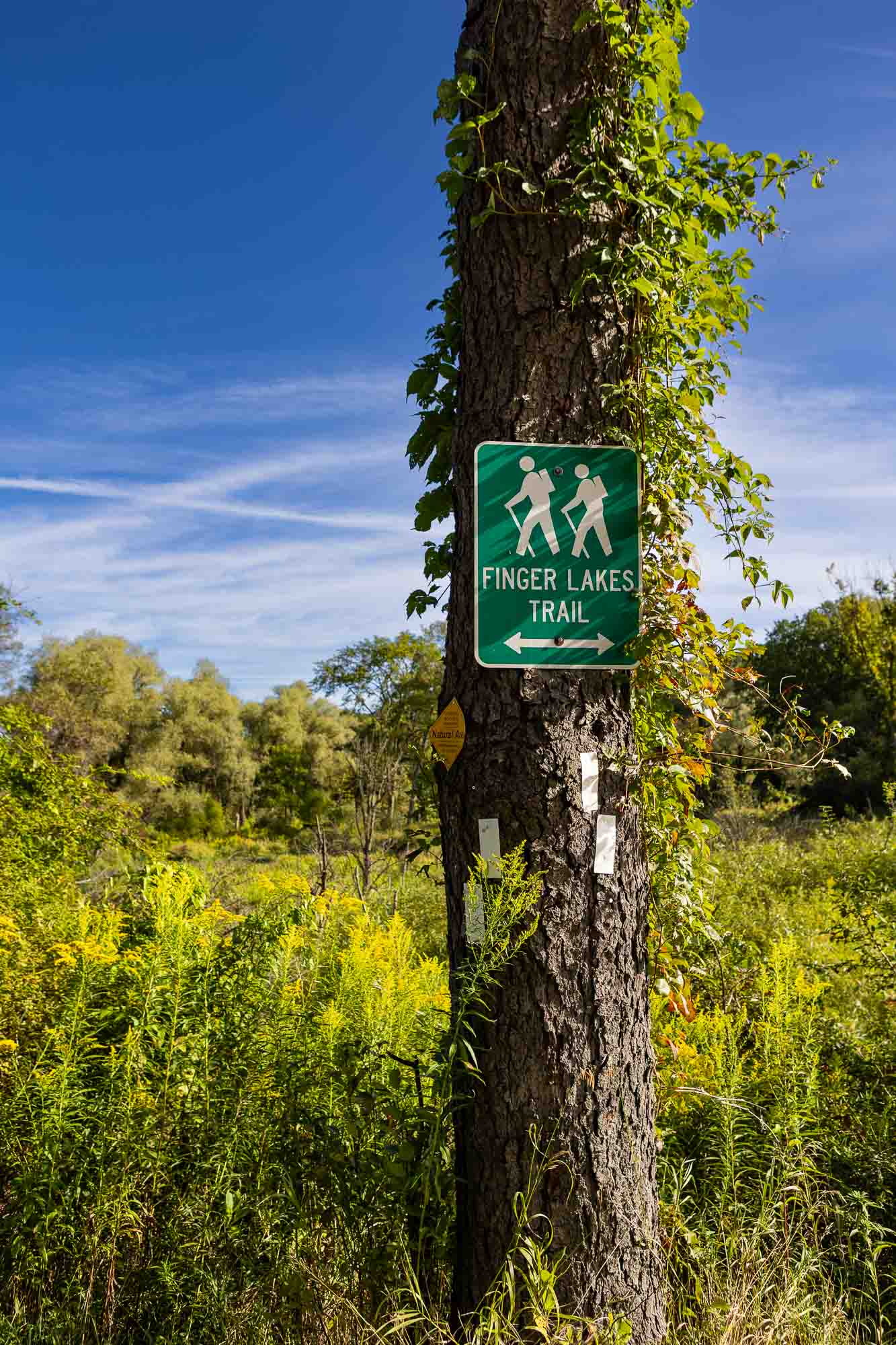
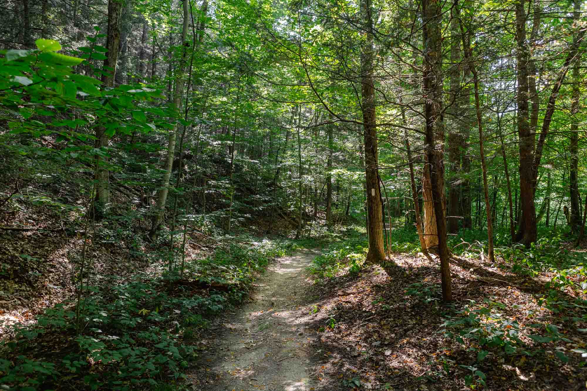
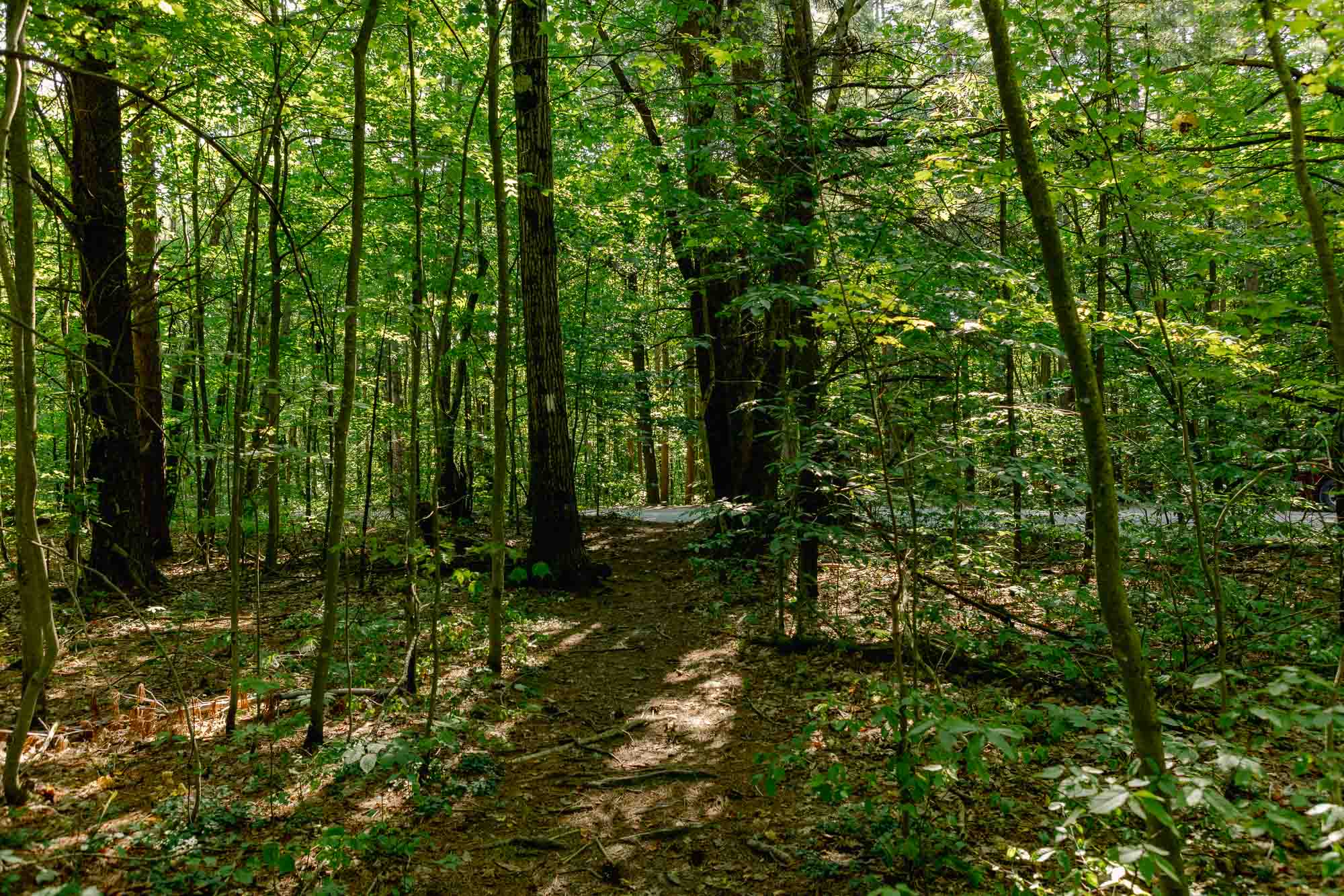
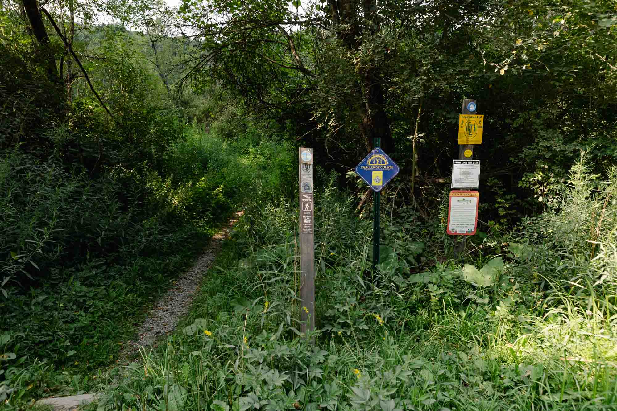
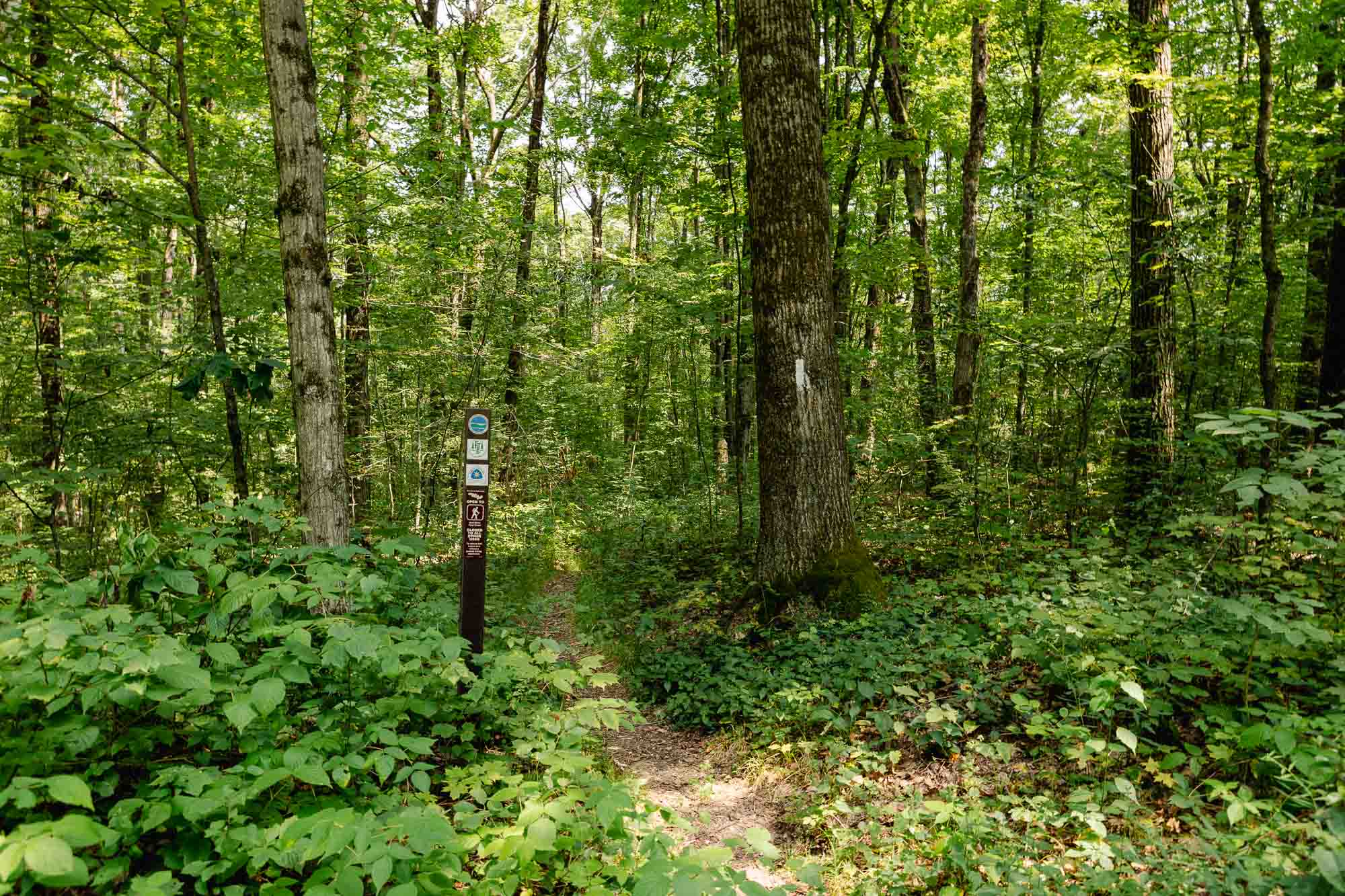
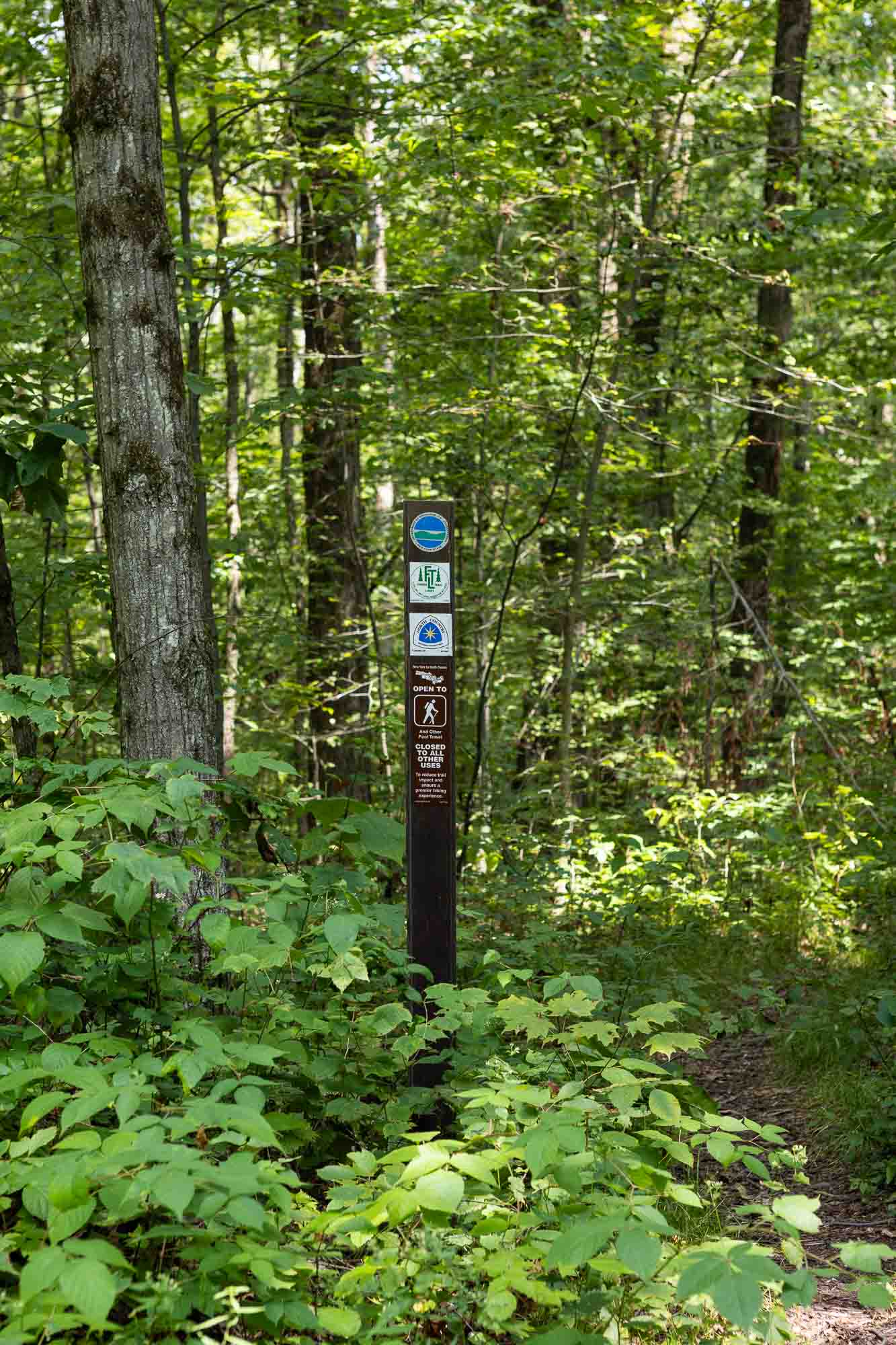
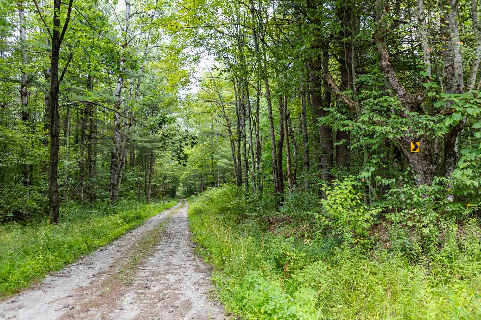
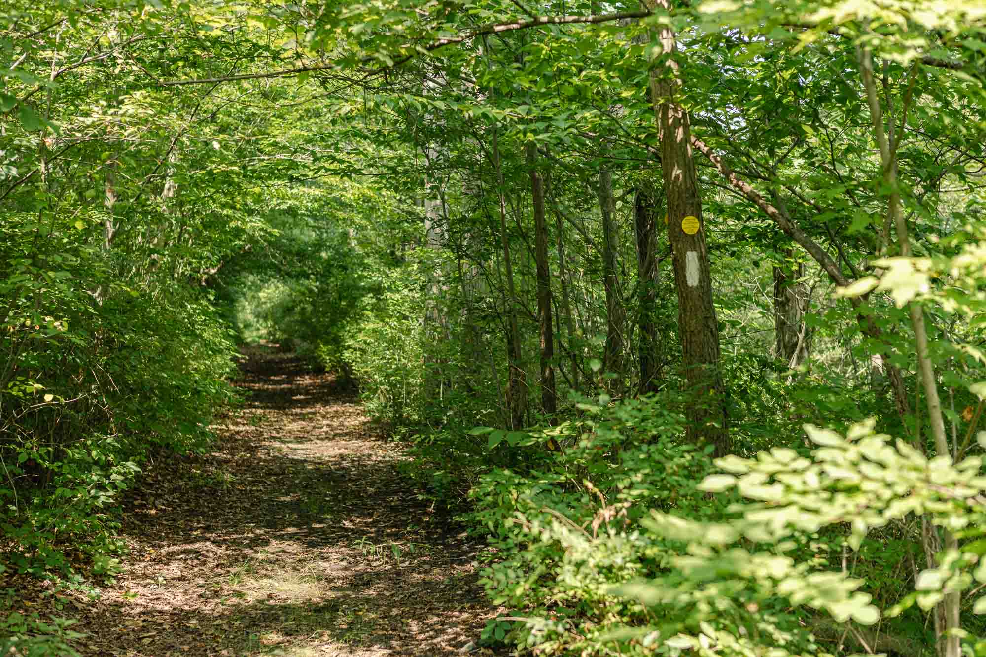
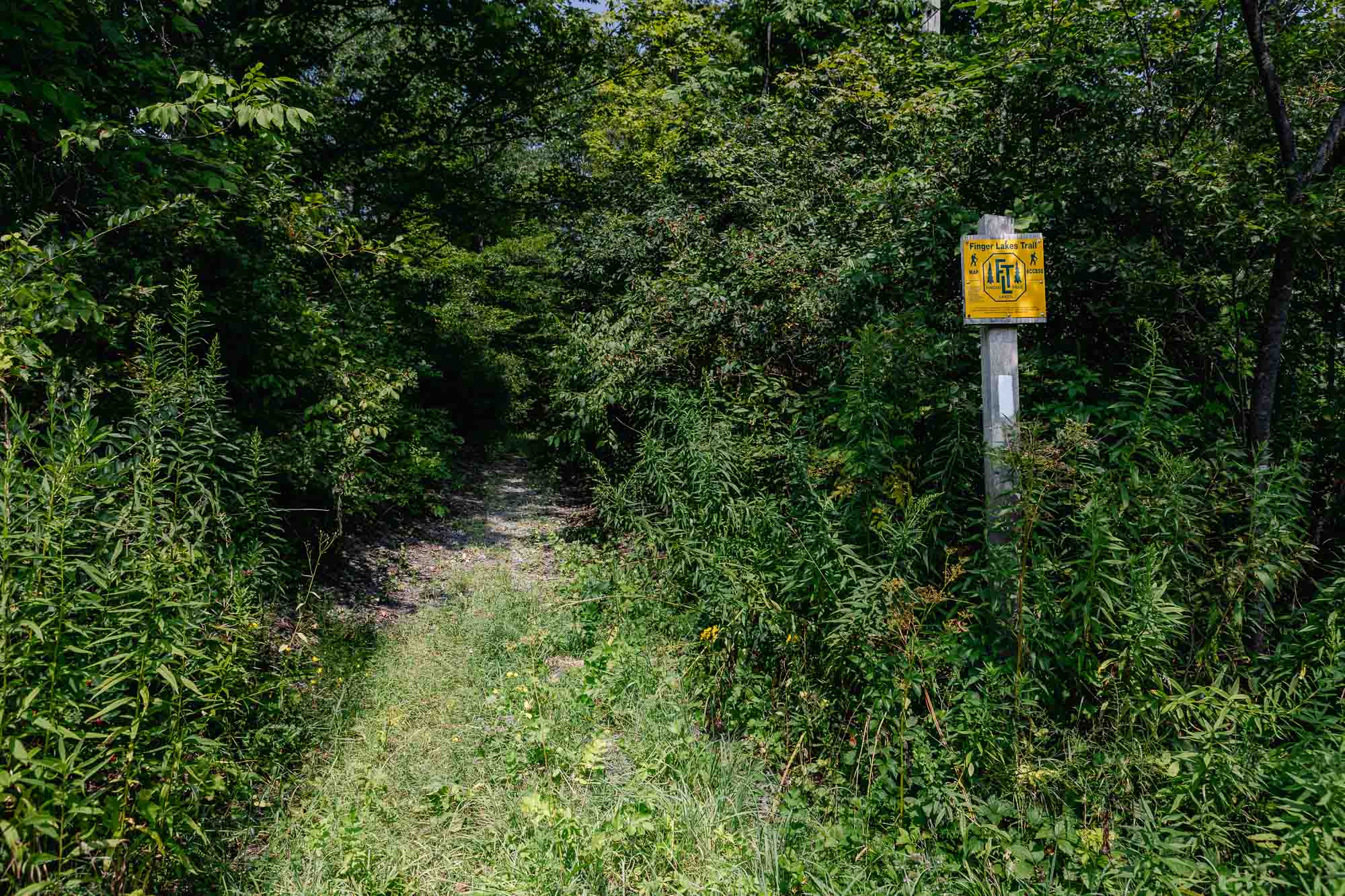
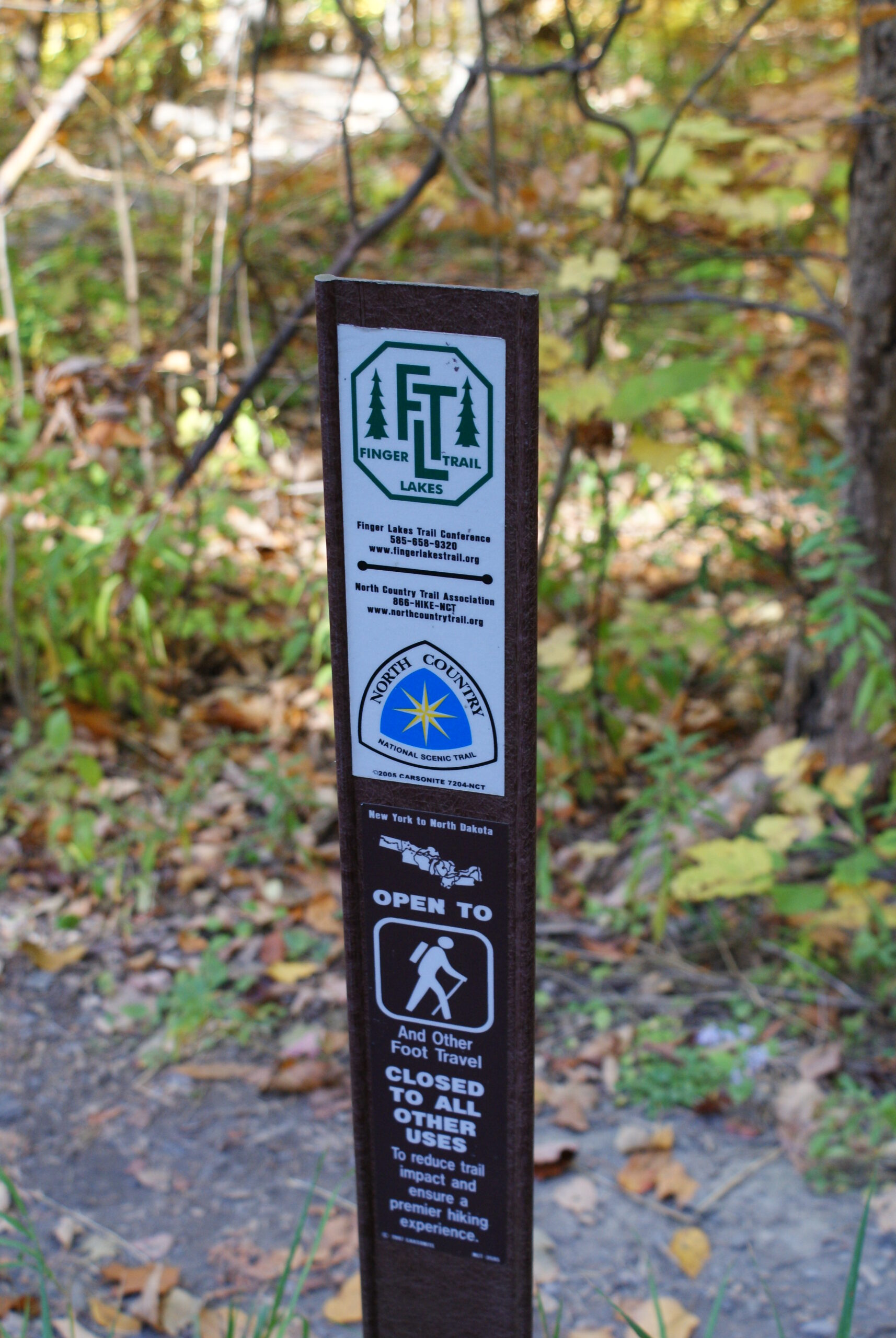
Trail markers // white blaze, white, orange blazes, orange blaze, yellow trail markers, red trail markers, wayfinding signs, no, orange, white blazes, orange, blue blazes, finger lakes trail blazes, yellow blaze, yes
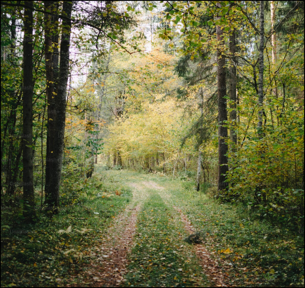
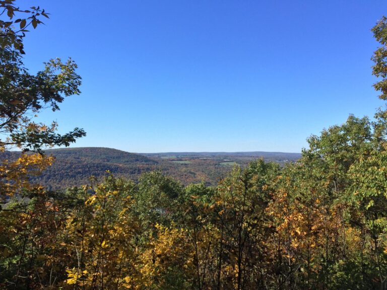
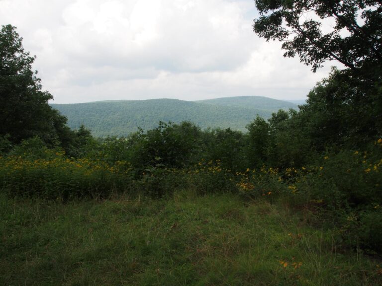
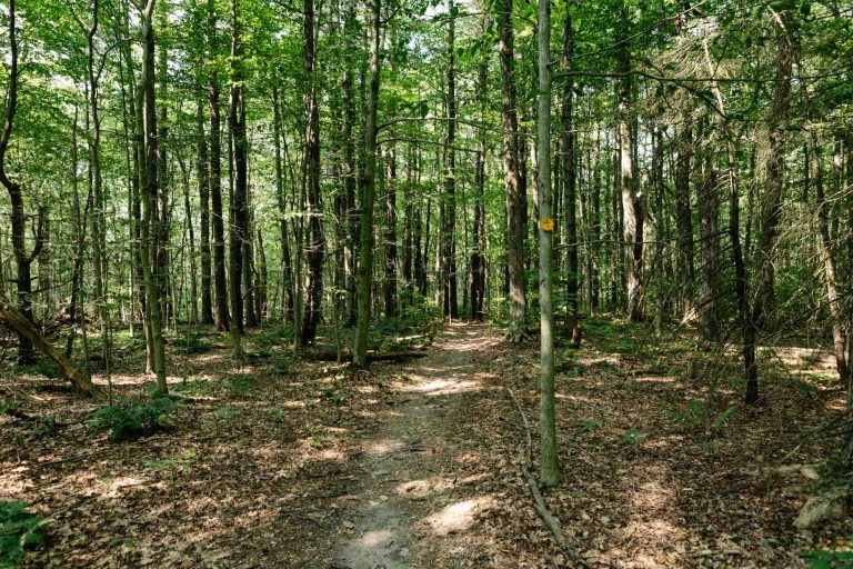
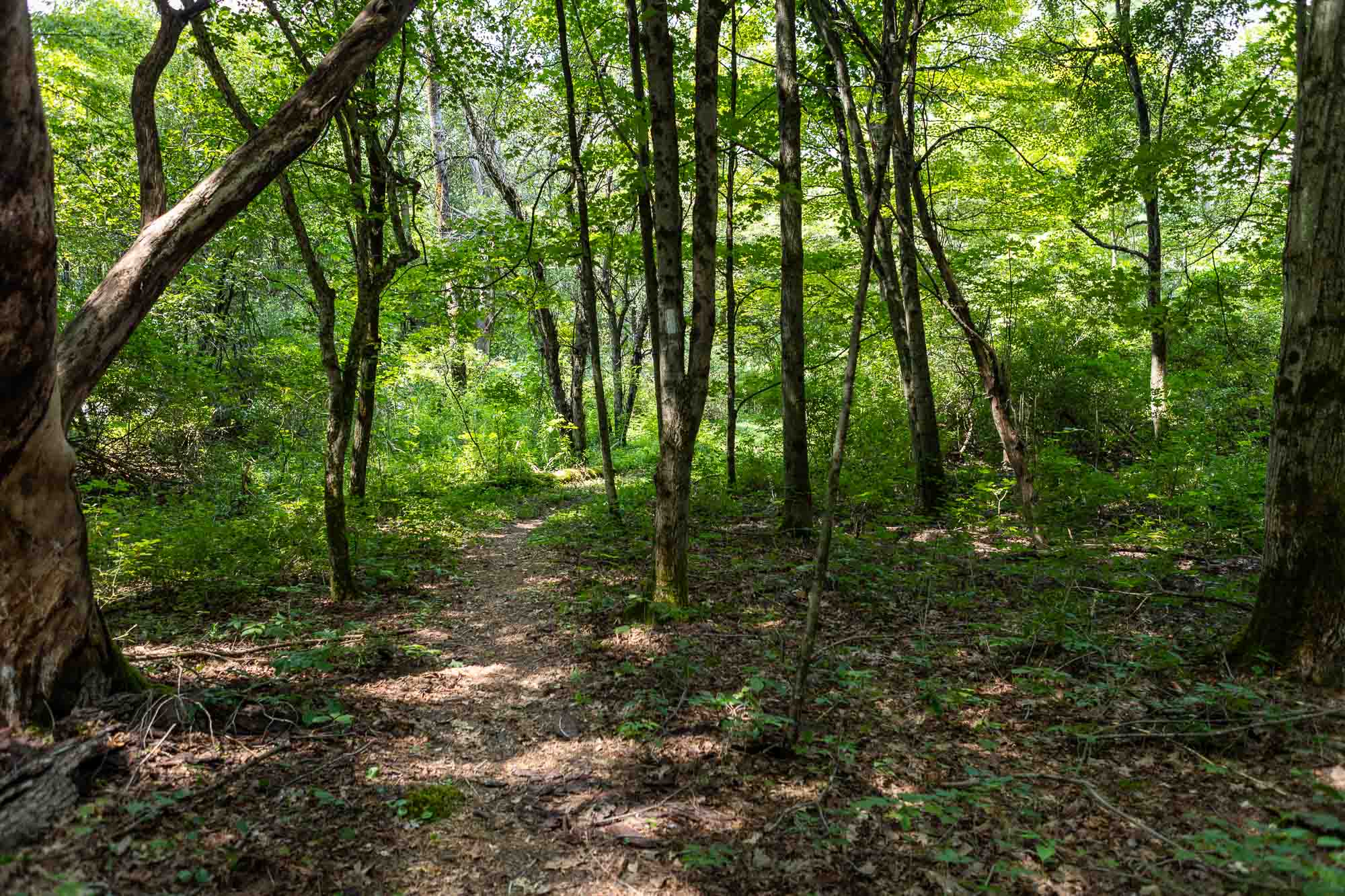
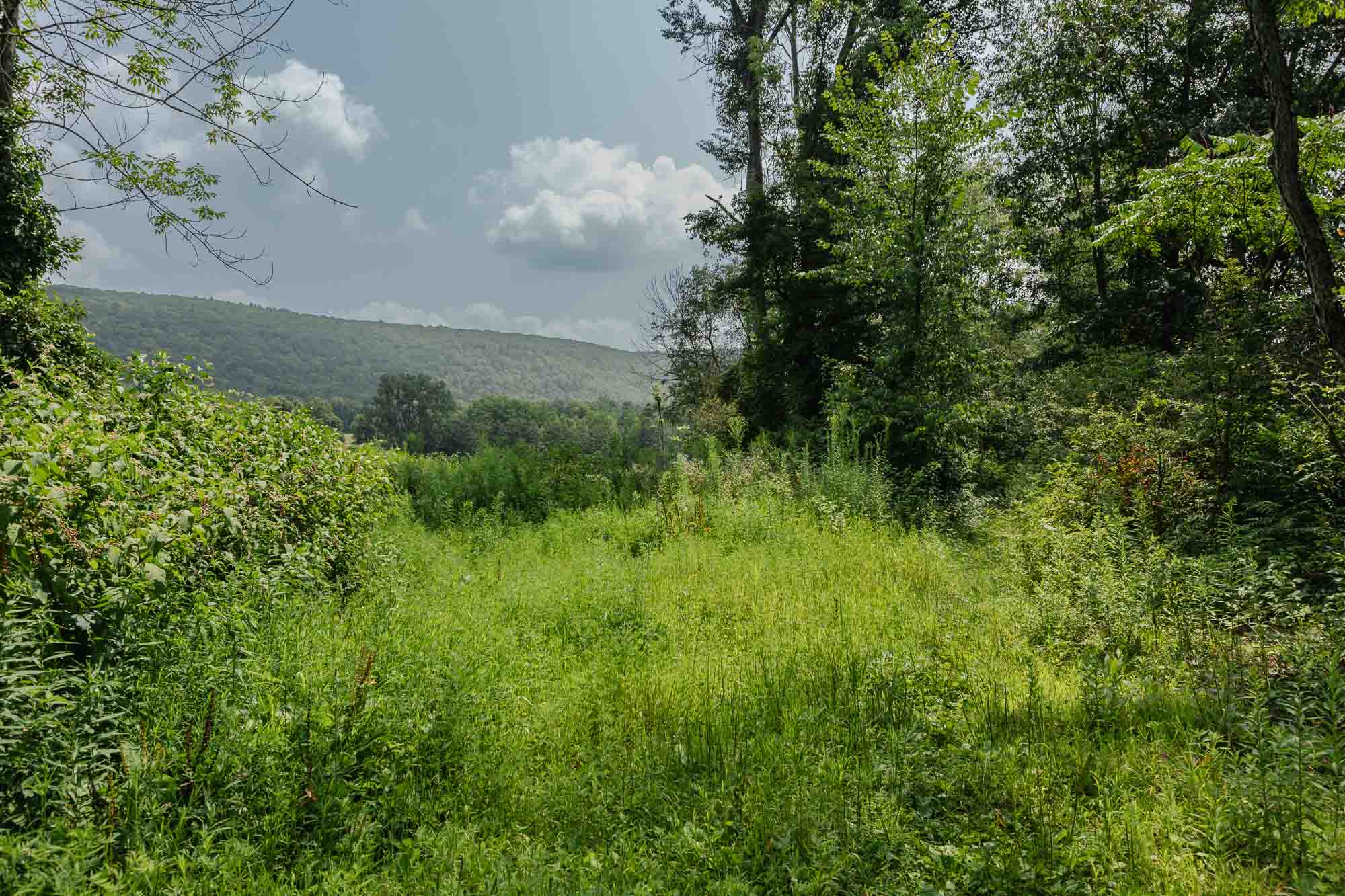
The Finger Lakes Trail (FLT) traverses Tompkins County with an 70-mile section of “New York’s premier footpath.” The FLT enters Tompkins county between Todd Road and Connecticut Hill Road in the Connecticut Hill Wildlife Management Area, and leaves near Lake Road in the Town of Dryden, with a 2.2 mile section crossing the northeast corner of Tioga County. The trail includes 52 miles of the main FLT and 20 miles of branch and loop trails.
Statewide, the FLT is a 1,000 mile trail system of hiking trails from Allegany Start Park to the Catskills with branch trails to Niagara Falls, Letchworth Park, Bristol Hills, Corning, Finger Lakes National Forest, and the headwaters of the Tioughnioga river near Cazenovia. The main FLT is also the route of the North Country National Scenic Trail as it passes through Tompkins County on its 4,500 mile path from North Dakota to Vermont.
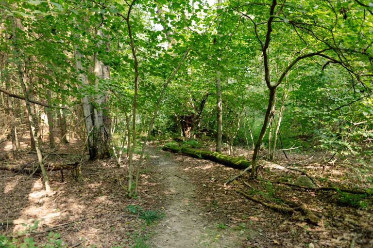
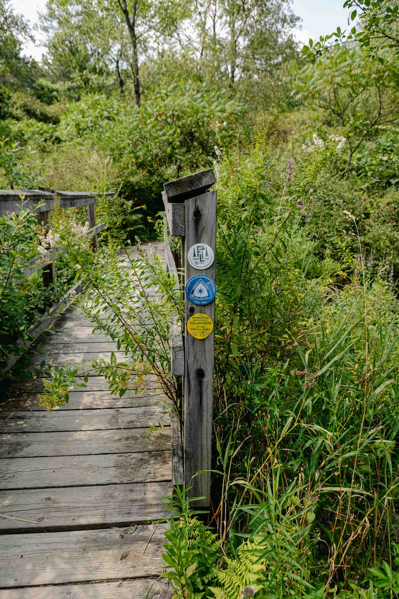
Constructed and maintained by volunteers, the Finger Lakes Trail crosses both public and private lands with the permission of the public agencies and private landowners. In Tompkins County, the trail is managed and maintained by volunteers of the Cayuga Trails Club. This hiking treasure offers opportunities for long-distance hikers, overnight backpackers, and casual hikers, walkers, and nature lovers of all kinds.. Before hiking on the FLT, please check the official Trail Conditions and Interactive Map and the Finger Lakes Trail Conference website as some sections of the trail may have changed recently due to hunting closures, route changes, and other conditions.
TCAT Route 20, Saturday & Sunday: First trip of day, Demand Drop-off available for Bock-Harvey Forest Preserve, which the FLT traverses. Talk to bus driver to request drop-off at Preserve entrance.
From outbound (southbound) bus stop, go 70 ft north and then left on Park Ln past vehicle gate. Continue 250 ft to intersection with the Finger Lakes Trail (FLT), marked with white blazes. FLT EAST: (CAUTION: DO NOT WALK ACROSS RT 13. FOLLOW TRAIL UND
TCAT Route 20, Saturday & Sunday: First trip of day, Demand Drop-off available for Bock-Harvey Forest Preserve, which the FLT traverses. Talk to bus driver to request drop-off at Preserve entrance.
TCAT Route 20, Saturday & Sunday: First trip of day, Demand Drop-off at Upper Entrance of RH Treman State Park. Talk to bus driver to request dropoff. From dropoff point, go 3/4 mile south on Park Rd to trailheads of the Rim, Gorge, Red Pine, and Conse
Finger Lakes Trail, heading West: walk 600 ft east, facing traffic, on shoulder of Rt 79 (Slaterville Rd), cross highway just before the bridge. Follow short trail to sign for Tarr-Young Natural Area and the FLT. Finger Lakes Trail, heading East: walk
Parking Locations
Connecticut Hill Road @ Finger Lakes Trail Get Directions
TCAT Route 20, Saturday & Sunday: First trip of day, Demand Drop-off available for Bock-Harvey Forest Preserve, which the FLT traverses. Talk to bus driver to request drop-off at Preserve entrance.
From outbound (southbound) bus stop, go 70 ft north and then left on Park Ln past vehicle gate. Continue 250 ft to intersection with the Finger Lakes Trail (FLT), marked with white blazes. FLT EAST: (CAUTION: DO NOT WALK ACROSS RT 13. FOLLOW TRAIL UND
TCAT Route 20, Saturday & Sunday: First trip of day, Demand Drop-off available for Bock-Harvey Forest Preserve, which the FLT traverses. Talk to bus driver to request drop-off at Preserve entrance.
TCAT Route 20, Saturday & Sunday: First trip of day, Demand Drop-off at Upper Entrance of RH Treman State Park. Talk to bus driver to request dropoff. From dropoff point, go 3/4 mile south on Park Rd to trailheads of the Rim, Gorge, Red Pine, and Conse
Finger Lakes Trail, heading West: walk 600 ft east, facing traffic, on shoulder of Rt 79 (Slaterville Rd), cross highway just before the bridge. Follow short trail to sign for Tarr-Young Natural Area and the FLT. Finger Lakes Trail, heading East: walk
The north entrance to the Roy H. Park Preserve and the boardwalk will be closed to the public from Monday, July 7, through September 2025 as work is underway to install an ADA-accessible path. The south entrance will remain open during this time. Thank you for your patience.
A portion of the Cascadilla Gorge Trail between Stewart Avenue and College Avenue is closed for construction and will reopen in spring, 2026. The trail between Linn Street (Treman Triangle) up to the Stewart Avenue Bridge is now open.


